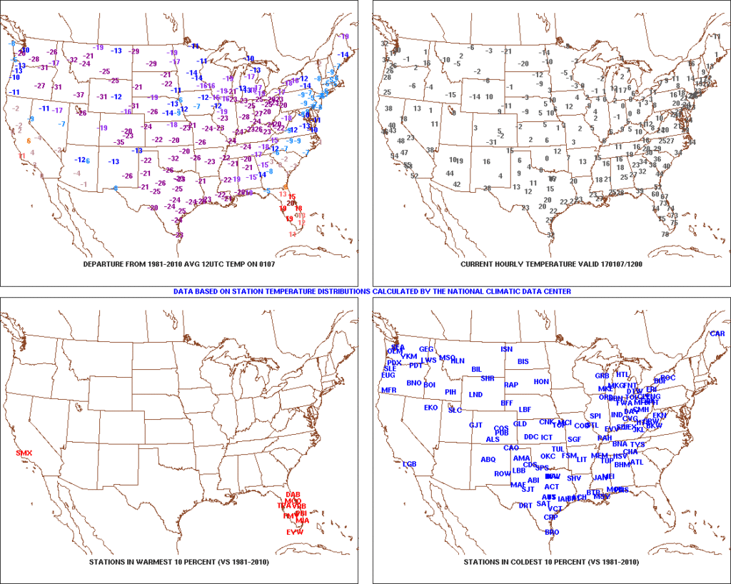
January got off to a frigid start. Remember this coast-to-coast cold, including sub-zero temperatures across central IN, during the first week of the month?
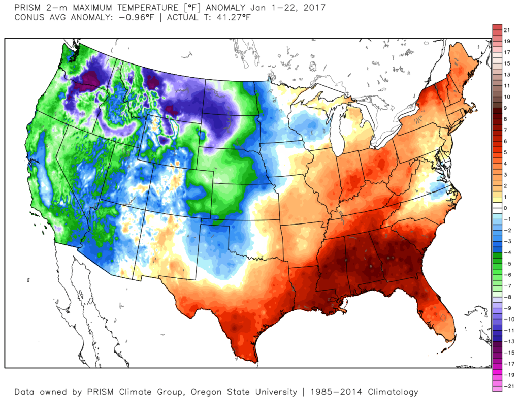
 After the past week to ten days, that frigid open to the month seems like forever ago! The past 7-10 days has featured a significant January thaw, and temperatures now, MTD, are warmer than average across the Ohio Valley. Warmest anomalies can be found across the southeast region.
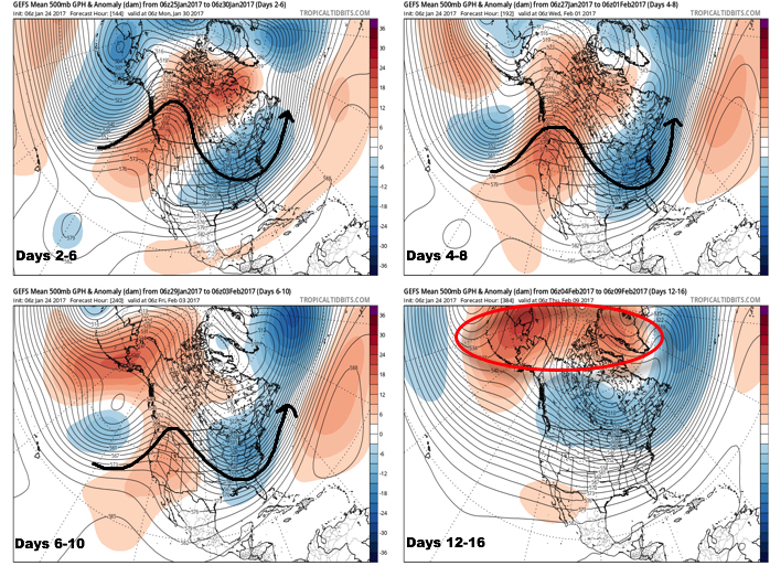
 That said, the pattern is shifting back to winter for the last week of the month and while the duration, longer-term, can be argued, the next 2-3 weeks appear to offer an opportunity to play “catch up” in both the snow and cold departments. Note the developing eastern troughiness. This will bring colder air back into the east as we close January and open February. The GFS ensembles, courtesy of Tropicaltidbits.com, also develops an interesting “blocky” look towards the end of the period in Week 2. Should this verify, it would lead to a better chance of the cold, active pattern locking in.
You’re corresponding temperature anomalies show the shift back to a colder than normal regime.
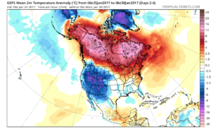
Days 2-6
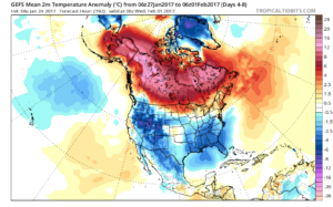
Days 4-8
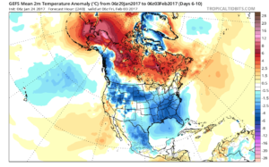
Days 6-10
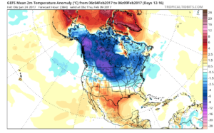
Days 12-16
A fast northwest flow will also result in multiple “pieces” of energy rotating southeast and we’ll forecast a period of snow showers by mid and late week, continuing into the weekend. There’s the chance of a stronger clipper system sometime in the Sunday-Tuesday time frame that we’ll have to keep a close eye on. We want to stress that global modeling will struggle with the specifics (timing and strength) of these clipper systems until within a couple days.
Longer term, while confidence is high on the evolution to a cold, wintry regime through the medium range, the longevity and sustainability of the cold is in question. For instance, by Day 10 (as the GFS continues to drill cold into the region), the European ensembles are much less impressed and suggest the overall transient pattern we’ve dealt with for the balance of the winter continues:
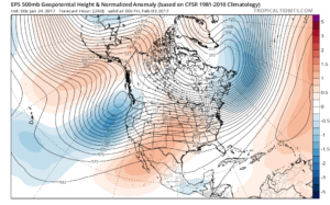
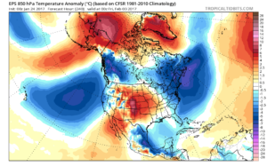 Thinking here at IndyWx.com believes the European is likely rushing the warmer central look. Time will tell…
**We do note the NEW European Weeklies lock a period of cold into the east from mid-February through early March, including a stormy (snowy) look. Will Old Man Winter have the final say?
Updated 7-day later this evening!

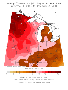 Speaking of warmth, 2016 has been a very warm year.
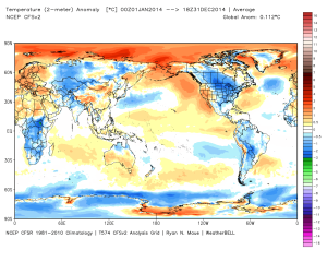
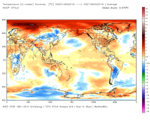 (The cold of 2014 seems so long ago…)
 Back to present. We’ve targeted the middle part of November to finally beginning “bucking” the recent warm trend. This won’t happen overnight and will be a battle of back and forth, initially. Thus, the “step-down” label. To be clear, November, as a whole, will finish much warmer than average. It’s virtually impossible to counter the incredibly warm start. That said, we do anticipate “jabs” of colder air working in here over the next couple weeks. For instance, this weekend will feature lows in the 20s for most and highs not making it out of the 40s Saturday afternoon. (The average low and high at IND Saturday are 37 and 54).
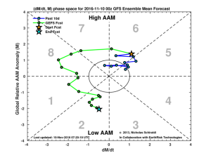
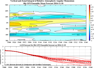 When we look at the AAM forecast (above), we note the westerlies may begin to slow (indicative of the negative values) in the 8-10 day period. This is crucial and, simply put, has to happen for the pattern to begin shifting into more of a position to allow sustained cold to enter the equation. We want to reiterate that this, in and of itself, doesn’t create the cold, but instead allows the pattern to begin shifting away from the Nino-like (warm) regime into more of a La Nina pattern, as a whole. – Hey, you have to start somewhere.
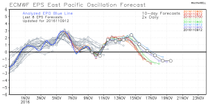
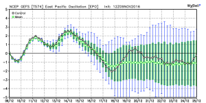
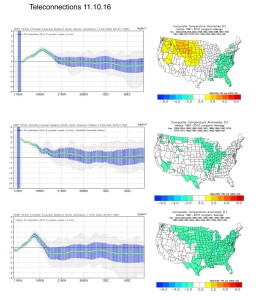 Additionally, the EPO is forecast negative off the GEFS and EPS. (Images courtesy of Weatherbell.com).
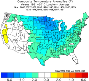
 Again, this is a cold signal. (Image courtesy of Madusweather.com).
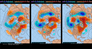
 The ensemble data is also beginning to key-in on higher heights (blocking) developing over the top. Notice the significant changes in the overall look to the pattern between now and days 11-16. (Images courtesy of Weatherbell.com).
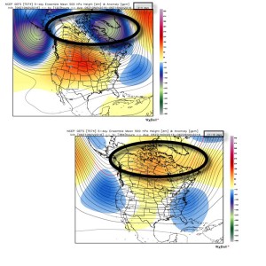 In summary, and in the face of *most* seasonal data that is screaming warm, warm, warm, we still don’t have any significant changes to our overall thinking of “step-down” mid-November giving way to more sustained wintry-like conditions in the overall sense from the Thanksgiving-Christmas period. Time will tell and only the Good Lord knows what the future holds, but we’ve done far too much work and research to throw the “game plan” in the trash before the game even begins…


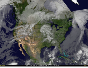 Tuesday will remain rain-free across the region, along with pleasant temperatures and humidity levels (mid 70s after a low in the lower 50s).
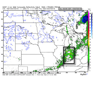 Rainfall amounts don’t look particularly impressive; generally 0.10″-0.25″ during the Wednesday night-Thursday morning time frame.
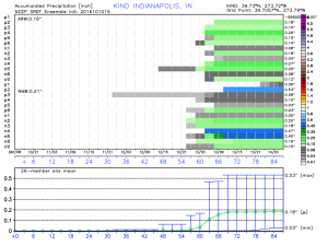 The cool air flowing in behind the front is impressive though. In fact, highs both Thursday and Friday will likely only reach the lower 60s (if that).
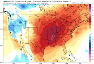
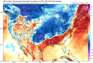 Despite the chilly air that will be with us to wrap up the work week, ensemble data is in excellent agreement on a significant warmer than average regime developing under a big eastern ridge in the 6-10 day. This will likely promote highs into the lower 80s next week for a few days. Impressive, no doubt, considering we’ll be rumbling through the second half of October by that point.