VIDEO: Wet Pattern Takes Hold; Looking To A Potential Shift For The Cooler/ Drier Down The Road…

Updated 05.02.24 @ 7:56a

A very pleasant day is in store for the region, complete with plenty of sunshine. Enjoy as we’re heading into yet another unsettled and wet pattern over the weekend and into the new week ahead…

VIDEO: Rain Expands In Coverage/ Intensity Later Today Ahead Of A Very Pleasant Midweek…

Updated 04.29.24 @ 7:43a

A lot of the rain that you see on the radar this morning will diminish as it pushes across the heart of the state. This will then likely be followed with a new batch of rain and storms expanding in overall coverage and increasing in intensity later this afternoon into the evening hours. A cold front will sweep through the state early Tuesday morning allowing calmer and more pleasant conditions to take hold.

VIDEO: The Wetter Trends Continue…

Updated 04.27.24 @ 7:56a

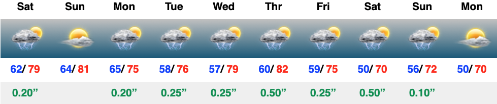
At one time what appeared to be a window of drier weather moving in now looks to be filled with active and at times stormy conditions as we navigate the first week to 10 days of May. Initially, rain totals won’t be “uniform” and scattered in nature but by the time all is said and done by the end of the first week of May, many can expect 2″+. The scattered coverage, locally, today will likely congeal into a more widespread complex of rain/ storms just to the north and northwest of the city later this evening.

This morning’s video covers those wetter trends in more detail…

Long Range Report: Looking Ahead To May…

Updated 04.25.24 @ 7:15a

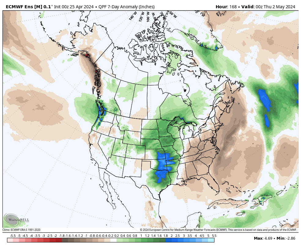
While we have a couple of storm systems to track in the upcoming week, the majority of the heavy rain and severe weather will remain confined to areas west of here- mostly throughout the Plains and into the upper Mid West. In short, the immediate-term has “more bark than bite.”

The overall long range look reflects a lack of any sort of stagnant regime, locally, and it also doesn’t show that we’ll have to endure much in the way of “extremes” over the upcoming 3-4 week period from a temperature or precipitation perspective. – A good sign as Plant24 hits its true stride.

Week 1

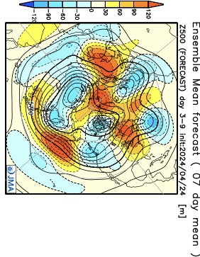
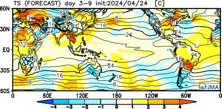
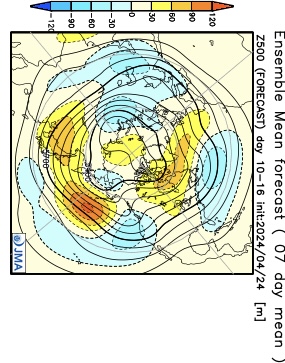
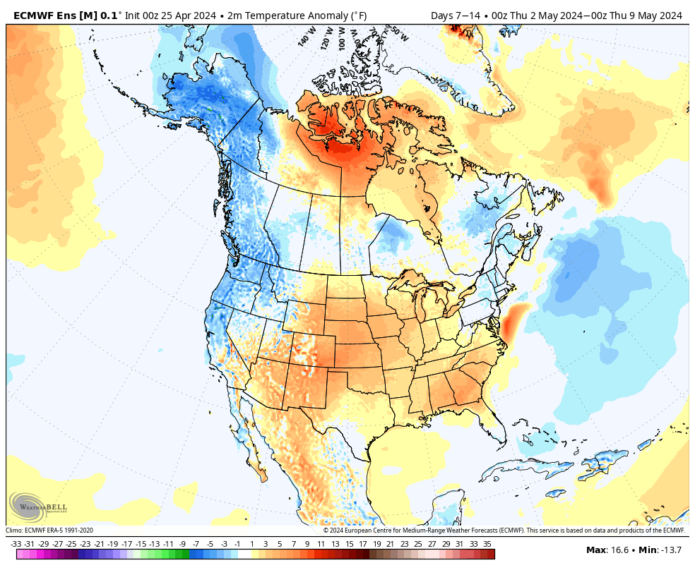
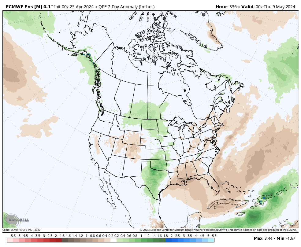
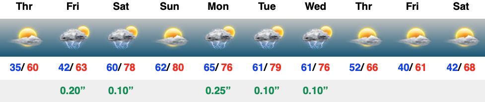
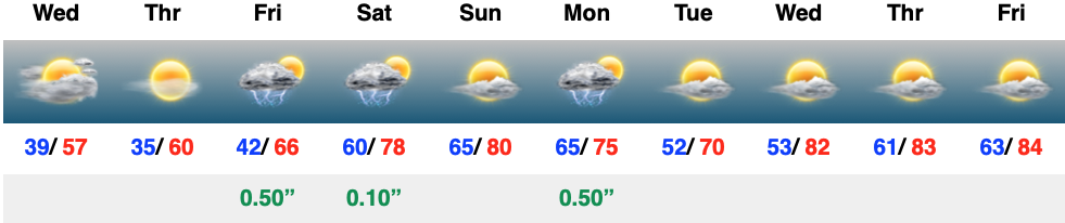
The JMA and European are in agreement that this period will feature warmer than normal temperatures and near average rainfall. Of note, we’re tracking storm systems that will impact our weather Friday, Saturday, and again Monday and Tuesday.

Week 2

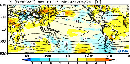
We note guidance getting more bullish on an East Coast trough beginning to develop during this time period. While likely averaging out slightly above normal as a whole in Week 2, I’d also plan on a few days of cooler air (type of stuff that could send us to around 40° at night and low-mid 60s during the day) around the Day 8 – 10 time frame. The period should once again feature timely rains, but nothing far off from the average.

Weeks 3-4

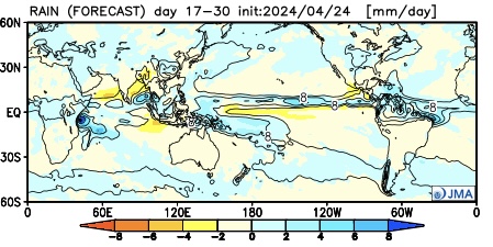
It’ll be interesting to watch what the European Weeklies do later today during this time frame, but the JMA is highlighting a more unsettled (wetter) pattern for now in the middle to latter part of May. Near to slightly below average temperatures and widespread above normal rains are being shown. (We’ll update this period after reviewing today’s European Weeklies).

VIDEO: Frosty Start Tomorrow Morning; Warmer Days Ahead…

Updated 04.24.24 @ 7:27a

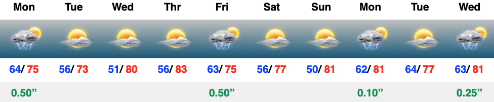
Low level clouds will continue to push south this morning, leading to a mostly cloudy day, especially along and north of the I-70 corridor. Downstate will hold on to sunshine a little longer than up this way. All in all, it’ll be a cool and breezy day. Those clouds will clear out of here quickly later today and as winds diminish, it’ll set the stage for frost in many areas, especially outside of the city, itself come Thursday morning. Hang in there, warmer (and increasingly muggy days) await as we push through the weekend. This sets the tone for what’s ahead as we flip the page to early May…