As we rumble closer to the start of meteorological winter, we wanted to provide some updated thinking around what lies ahead. Before we dig into some of the latest data and dissect the updated SST profile, here’s a recap of our winter outlook posted 10.17.15. You can read the complete outlook here.
- Worst of winter, from a cold and snow perspective, is during the back half of the season.
- Colder than average winter ahead by 1 deg. (F) on average.
- Slightly less snow than normal at 20″ (first flake to last flake).
At first glance upon looking at the latest SST profile, there aren’t many huge changes from (6) weeks ago. However, there are some interesting trends, mostly pertaining to El Nino region 1+2 versus 3.4.
 1.) In the most recent El Nino monthly recap, Region 1+2 cooled .09 degrees (F) from September to October. Meanwhile, Region 3.4 warmed .32 degrees (F) during the same period. This trend is interesting and something we think continues looking over the data. Central-based, Modoki El Nino events argue for a colder east across a more widespread basis.
2.) The warm, or positive PDO, continues. This argues for eastern cold. Remember the past two winters that ran colder than normal across our region? The positive PDO played a big role in powering those.
3.) Though admittedly much more of a wild card, the current SST configuration in the northern Atlantic continues to argue for a developing negative NAO as mid and late winter arrives. Personally we feel the NAO impact, locally, is felt more in the later winter period. A negative NAO would also argue for colder than normal.
The latest Sea Surface Temperature Constructed Analog (SSTCA) model is in and remains firm on the idea of a cold east and south.

The warm PDO continues through winter and the warm PAC anomalies continue “spreading” west.

The central and eastern regions are favored for colder than normal temperatures through meteorological winter.

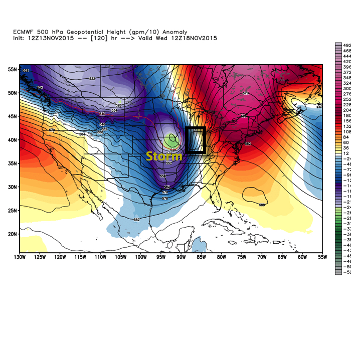
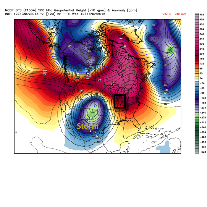
The predominant upper air pattern shows central and western Canada ridging with southern and eastern troughiness- also a sign of an active southern stream (storm track).
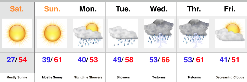
As we move into the Thanksgiving and Christmas seasons, rest assured we’ll continue to keep close tabs on the “sensible” weather the evolving pattern will deal the region. As a whole, we feel confident we remain on the right track and think plenty of wintry “fun and games” lie ahead this year.
Here’s a photo from Christmas 2007 out in Breckenridge, CO with my brother. Could this be the scene for Christmas this year here? “I’m dreaming of a white Christmas…”