Friday Morning Rambles: Blast Of Arctic Air; Halloween Night Snow And More On November…
Updated 10.27.23 @ 7:09a
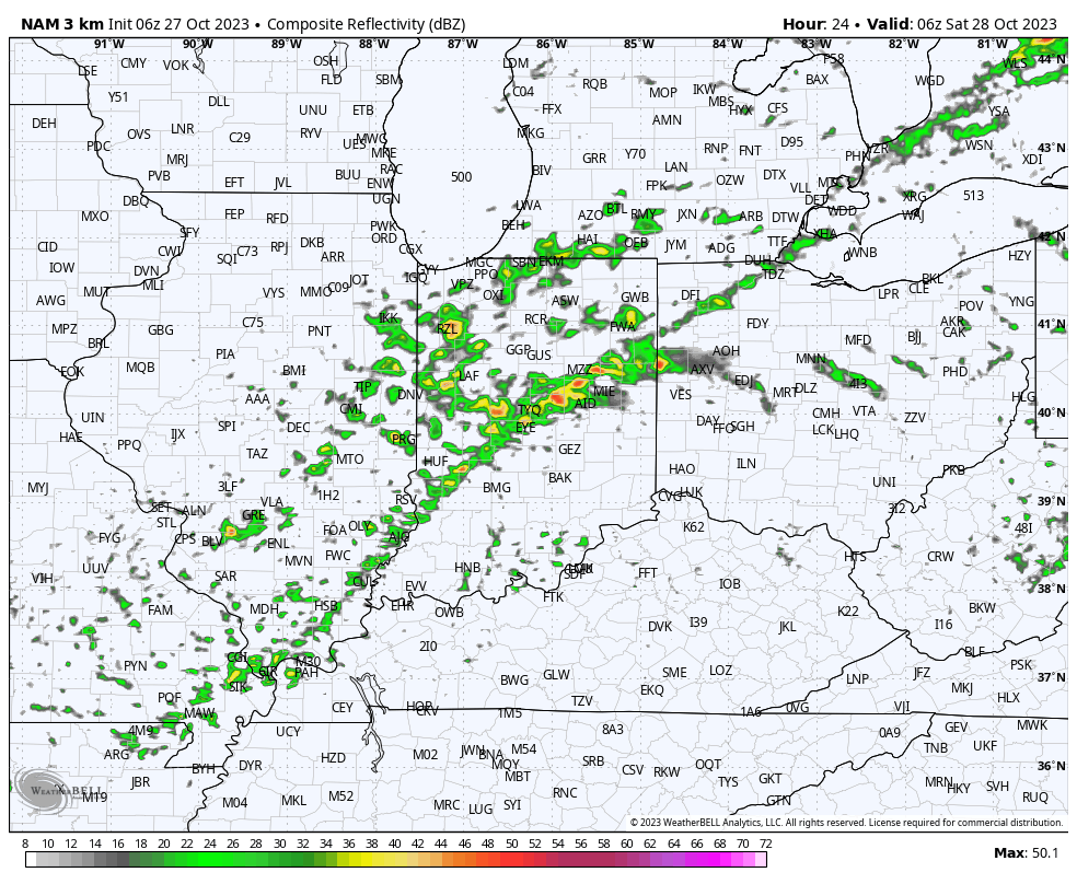
I. Most of our Friday will be rain-free and unseasonably pleasant. Enjoy as time is ticking. A cold front arrives tonight with increasing shower and thunderstorm chances after dark, continuing through the overnight. Most area rain gauges will accumulate 0.10” to 0.25” with this initial wave of rain, but there will be a few lucky folks that pick up 0.50” +.

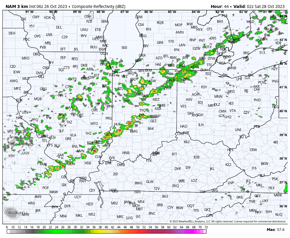
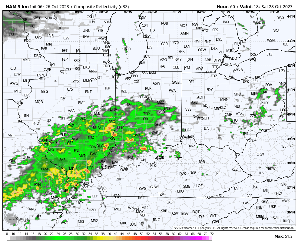
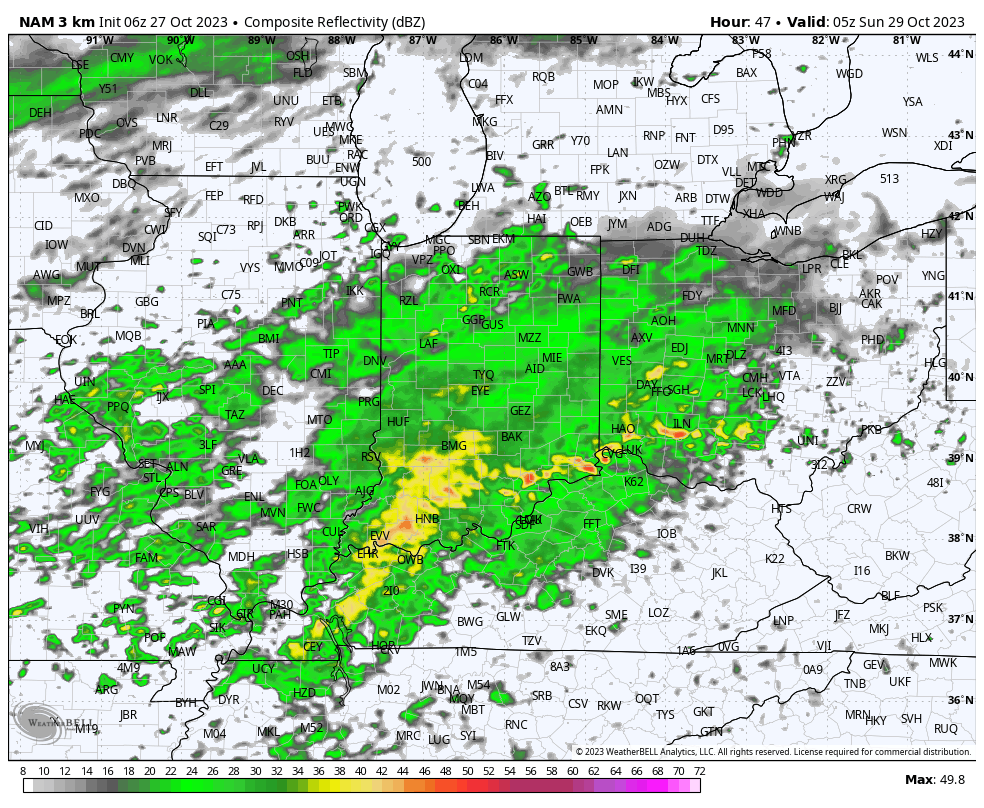
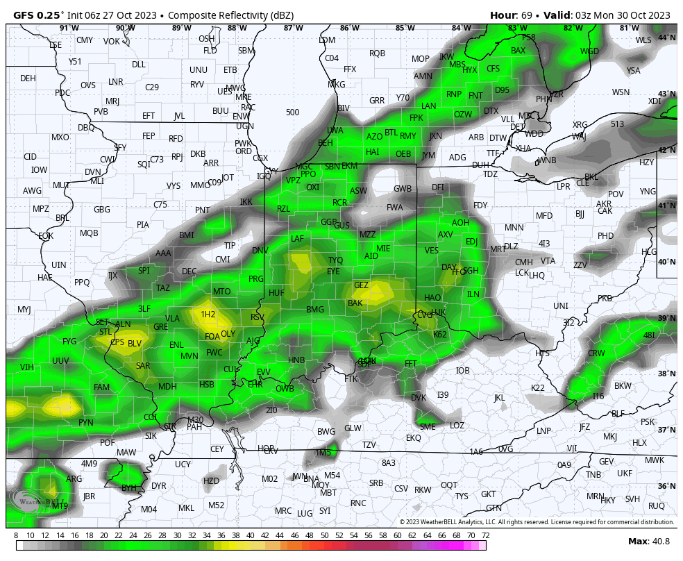
II. A second, more widespread, round of rain will push across central Indiana Saturday night and Sunday morning followed by a potential break through most of the daytime Sunday. One final round of rain will then arrive Sunday night into the predawn hours Monday. Look for nearly steady or slowly falling temperatures into the upper 40s Sunday and highs remaining stuck in the 40s area wide Monday.
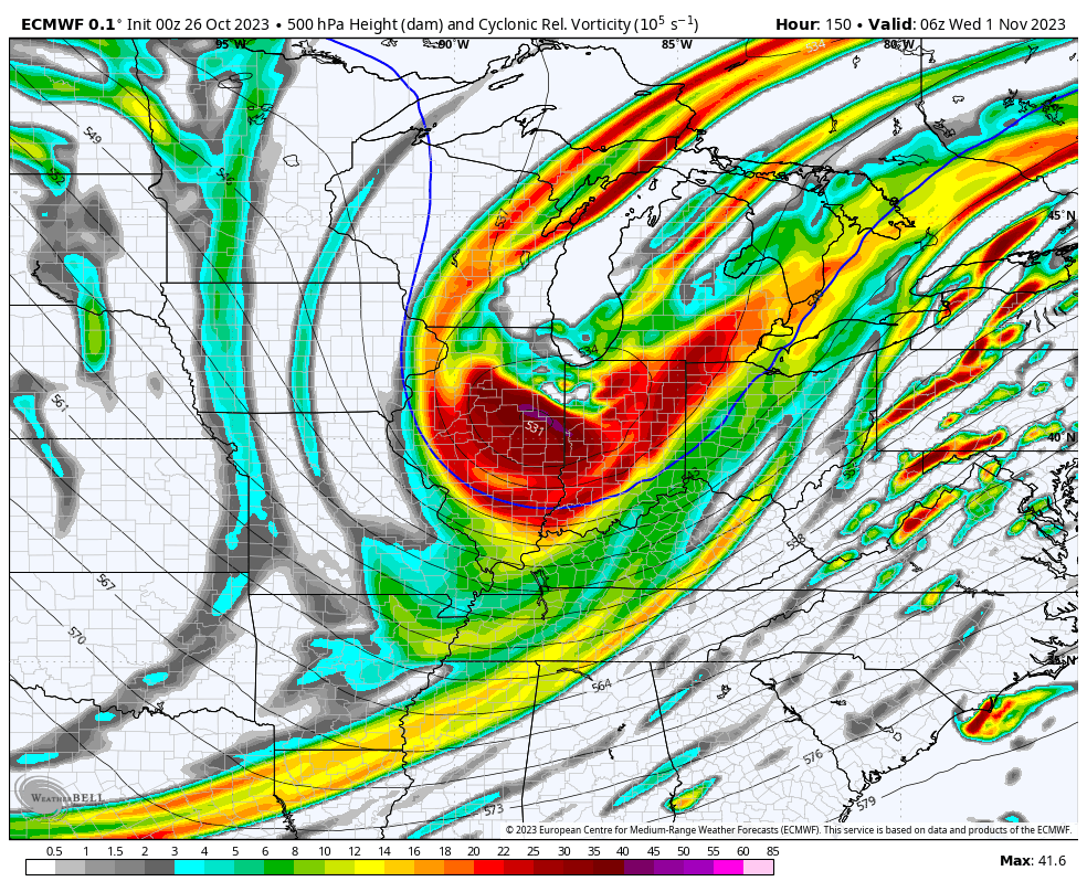
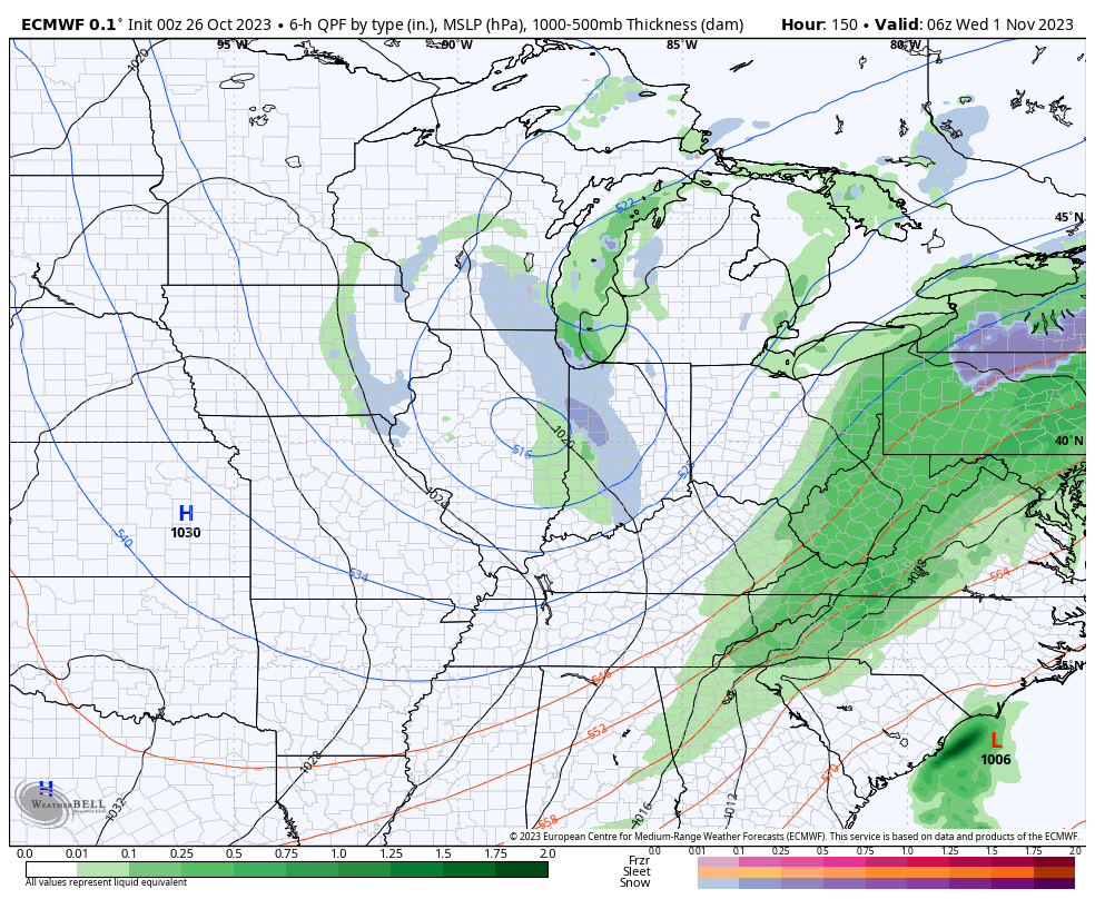
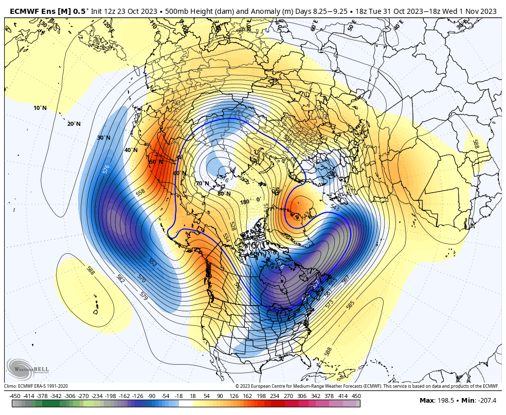
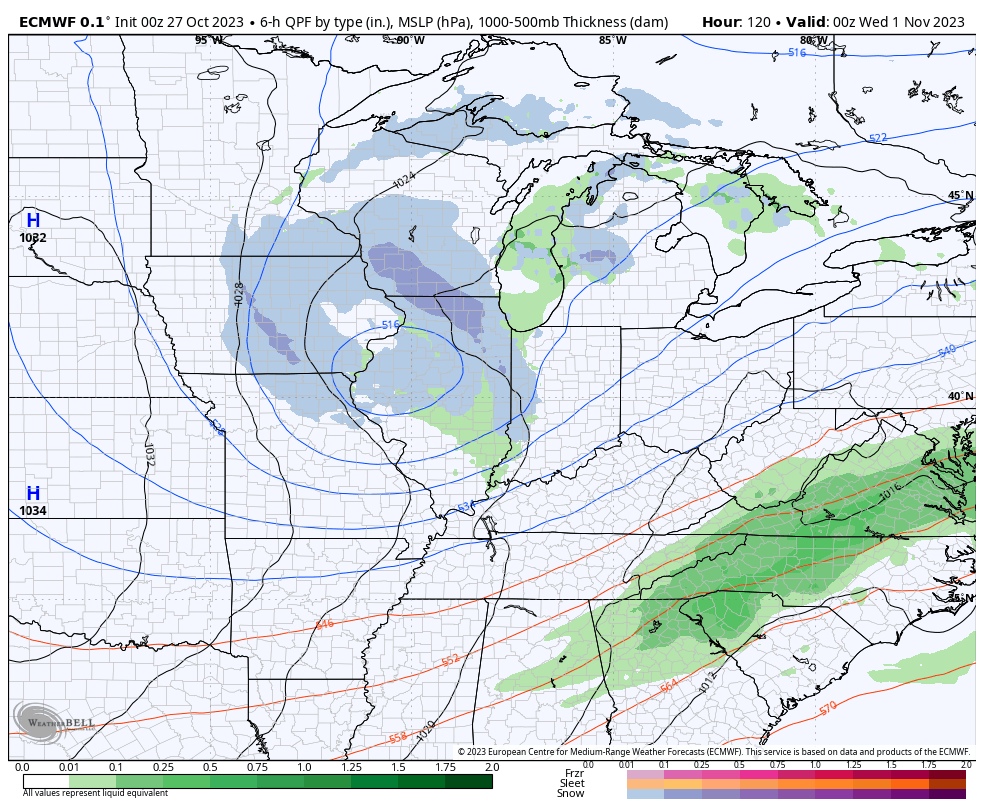
III. As attention shifts to Halloween, itself, a vigorous piece of upper level energy will dive into the Ohio Valley. Originating in Alberta, this will officially be the season’s first Alberta Clipper.

This feature will offer up a round of gusty winds and snow showers Halloween night into the predawn hours Wednesday.
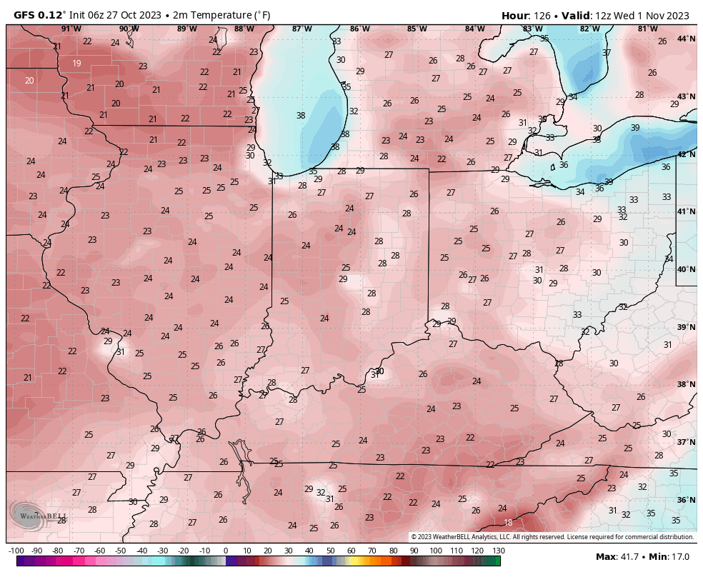
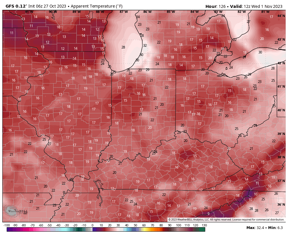
We’ll wake up to temperatures in the 20s and ‘chills in the 10s Wednesday morning.
IV. We’ll dive in to our November pattern in greater detail with a video this weekend, but as of now, the early call is for a fairly typical November with many “ups and downs” and an overall transitional regime through the bulk of the month. Again, more on this and the associated pattern drivers a bit later!
Make it a great Friday!