Tuesday Morning Rambles: Shower Chances Return Today…
1.) 2017 continues to fly along. August features 3.13″ of rain during the month and temperatures that start out with an average high and low of 84°/ 65° and 83°/ 62° to end the month. Needless to say, temperatures this weekend will feature well below normal conditions that will feel more like it should jumping forward 6 weeks, or so.
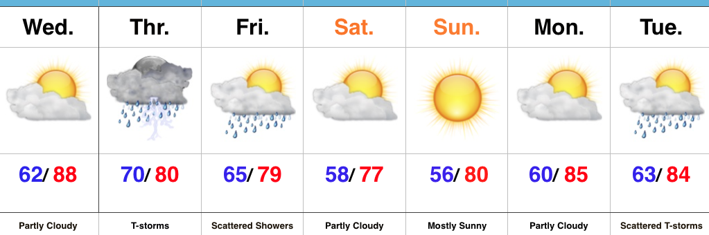
2.) Moisture returns today and results in scattered shower coverage this afternoon and Wednesday. Most of both days will remain rain-free, but don’t be surprised by a passing shower at times.
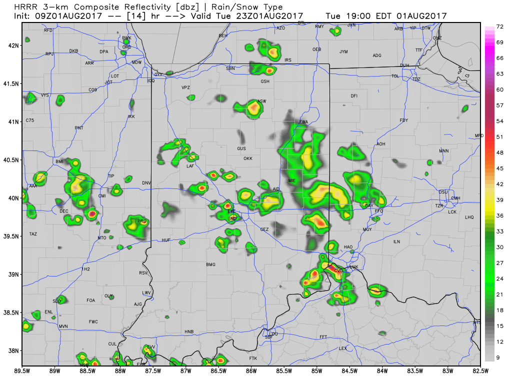
3.) More widespread coverage of showers and thunderstorms arrive Thursday afternoon into Friday morning as a strong cold front presses into the state. Localized heavy rain is possible and rainfall totals of 0.50″-1.00″ can be expected (with locally heavier amounts under stronger storms) between now and Friday.
 4.) As surface low pressure wraps up over the Great Lakes Friday, it’ll help pull unseasonably cool air south into the state, along with gusty northwest winds. In fact, temperatures will remain steady or slowly fall as we move through the day Friday. It sure won’t feel like the first weekend of August as temperatures tumble into the 50s area-wide Saturday morning.
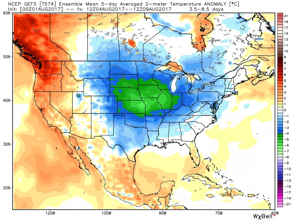
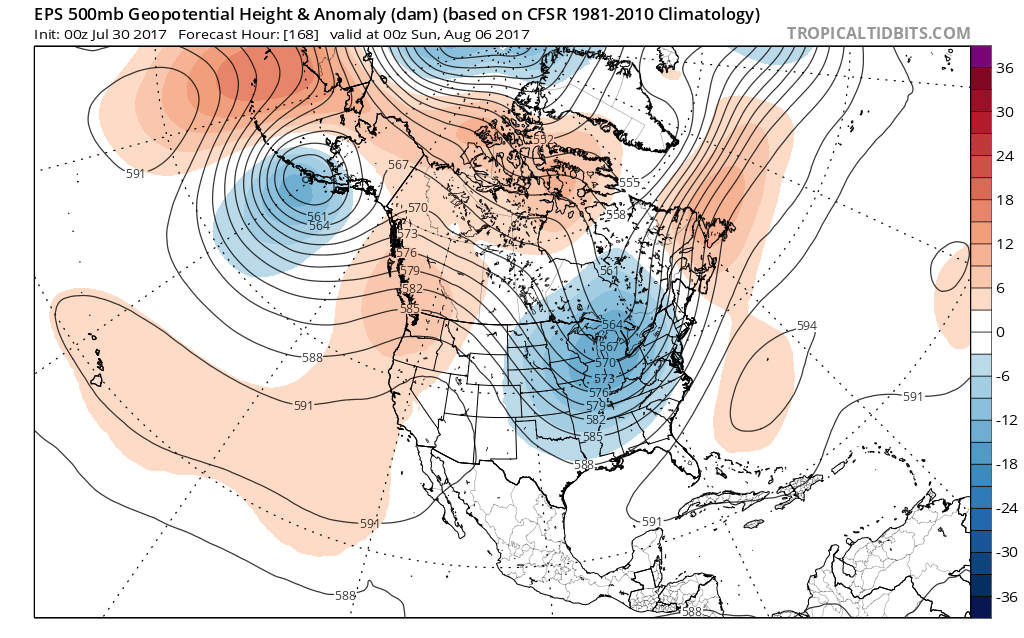
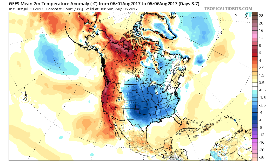 Look for fairly steady or slowly falling temperatures Friday afternoon (how often can we say that in early August?!) along with a gusty northwest breeze. That will set the tone for the weekend that will include low temperatures in the lower to middle 50s and highs in the middle 70s. Unlike this weekend, we’ll have a few more clouds and the threat of a passing shower with enough upper level energy around.
 Highlights: