Updated 01.01.24 @ 7:40a
From our family to yours, we’re wishing you a joyous and prosperous 2024, filled with health and happiness!
The weather pattern through Friday is simply about as quiet as one could ask for by early January standards. High pressure will keep us dry and seasonably chilly. A weak disturbance will drift across the northern Great Lakes Wednesday evening into Thursday morning and could set off a few light snow showers, but even if this does take place, we’ve already wasted more pixels than needed. 🙂
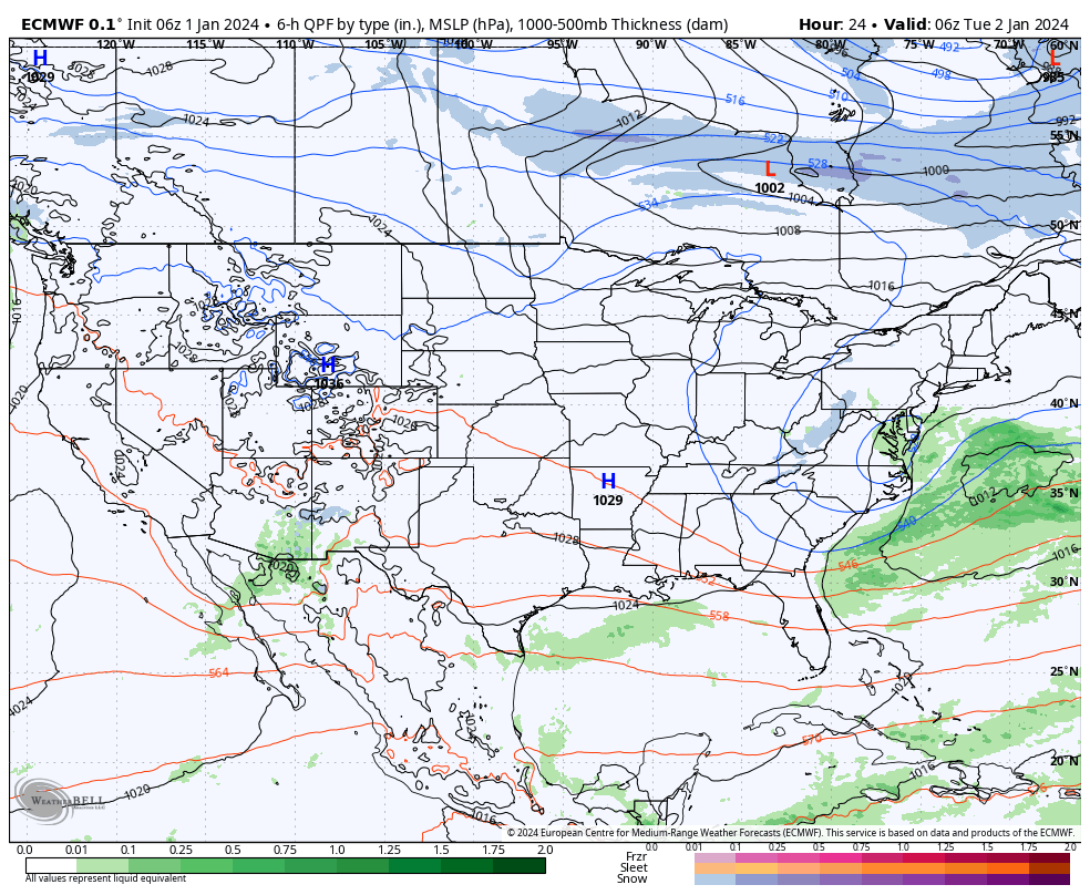
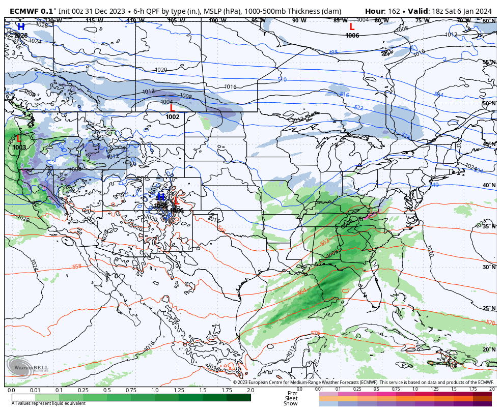
Things begin to change this weekend as low pressure organizes in the western Gulf of Mexico with a trough extending north into the central Plains. Both features will move east and then head up the eastern seaboard over the weekend. The all-important question here has to do with the northern energy. Do we get a reflection of a surface low into the Ohio Valley and associated heavier precipitation, or are we mostly bypassed off to the south (thanks to the primary low taking control)? Stay tuned. This picture should become much clearer over the upcoming 24-48 hours. Sensible weekend weather here ranges from an all out winter storm to nothing more than light snow.
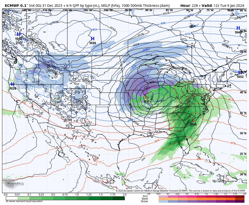
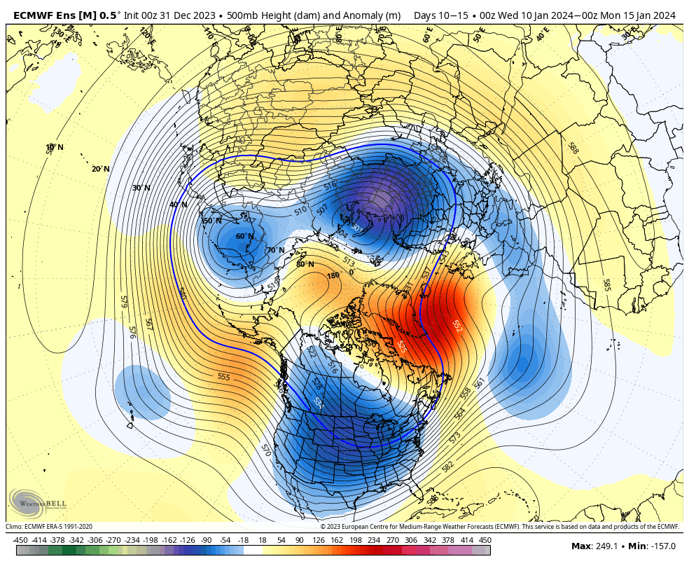
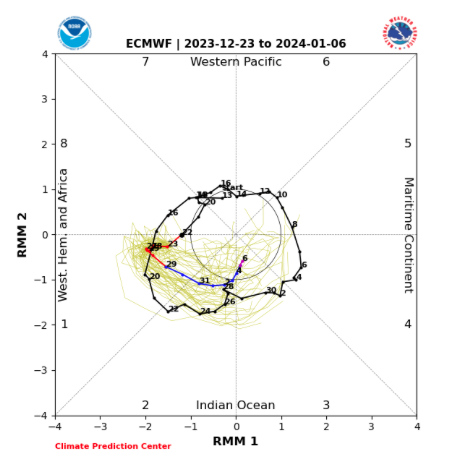
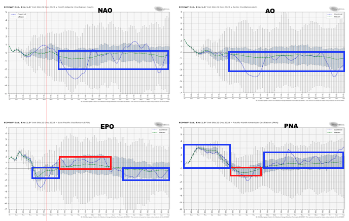
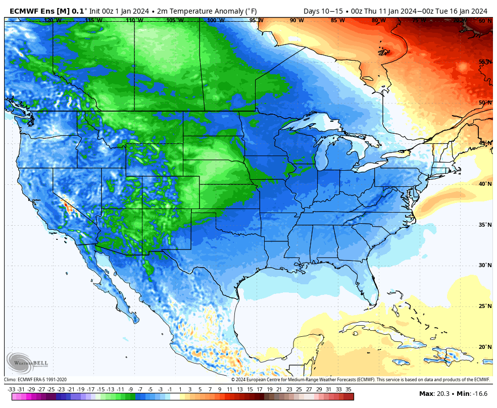
Another storm will follow early next week. Finally, a big ole batch of arctic air will likely expand into the region in the 10-15 day period. By that point the question will become just how cold can we go? A lot of that will have to do with what, if any, snowpack we have down by that time. Are we just colder than average by mid January standards or talking sub-zero stuff?
Needless to say, enjoy the quiet times while we have them. A fresh Client video will be posted first thing in the morning with more details on this and more.
Happy new year!