VIDEO: Looking At The Weekend And Next Week…
You must be logged in to view this content. Click Here to become a member of IndyWX.com for full access. Already a member of IndyWx.com All-Access? Log-in here.
You must be logged in to view this content. Click Here to become a member of IndyWX.com for full access. Already a member of IndyWx.com All-Access? Log-in here.
The weekend will end with more April snow. As we look ahead deeper into next week, a transient, but significant, push of warmth will arrive Thursday and Friday.
You must be logged in to view this content. Click Here to become a member of IndyWX.com for full access. Already a member of IndyWx.com All-Access? Log-in here.
You must be logged in to view this content. Click Here to become a member of IndyWX.com for full access. Already a member of IndyWx.com All-Access? Log-in here.
Though we were greeted with a cold and frosty start to our Sunday, high pressure will supply plentiful sunshine as we wrap up the St. Patrick’s Day weekend. Find a patio this afternoon that’s showing the Madness and soak up that Vitamin D. The increasingly powerful March sun angle will help boost temperatures into the middle to upper 50s for most of central Indiana.
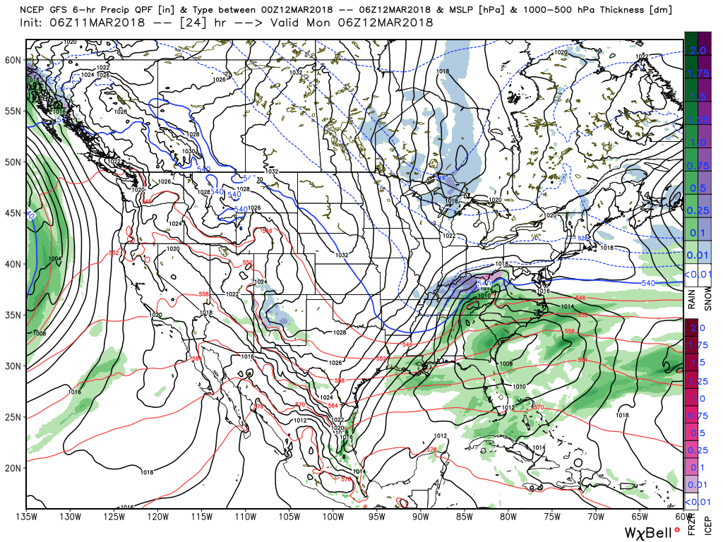
 Things will begin to change as we open up a new work week. Surface low pressure will track out of the central Plains into the lower Ohio Valley Monday into Tuesday. This will spread moisture into the southern half of the state Monday evening. With air just cold enough, precipitation will mix with and perhaps change to a wintry mix of sleet and wet snow along the northern periphery of the precipitation overnight into Tuesday morning.
 March snow events can offer “surprises” and we’ll need to keep a close eye on the precise details pertaining to the track of the upper low Monday night into Tuesday. Under and just north of these little bundles of energy can often times be the spot for a wet snow “thump” this time of year. For now, it appears areas from southern IN into Ohio may be the sweet spot for a late season accumulating snow event.
 The mid week stretch should be showcased by dry, but unseasonably chilly conditions. Lows in the 20s and highs in the 40s aren’t what many Hoosiers on Spring Break want to deal with…
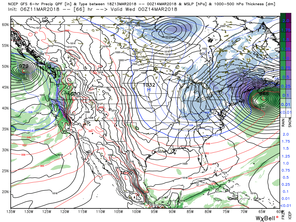
 Our next item of significance arrives Friday as a warm front lifts northeast through the Ohio Valley. This will result in a wet close to the work week.
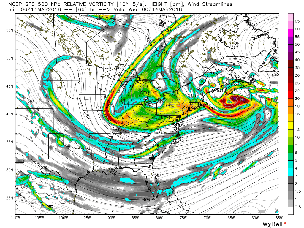
 Looking ahead, the weather pattern sure looks active to wrap up March and open April, including above average precipitation and potentially an “uptick” in severe weather episodes…

A storm system will gather strength to our south as we progress through the day and into the night. While central Indiana won’t experience significant impacts from this storm, we’ll indirectly deal with this system with considerable cloudiness and a chilly easterly breeze today.
Our friends to our south (KY and the higher elevations of the southern Appalachians) can expect accumulating snow. The east TN and western NC mountains will accumulate over 6″ above 5,000 feet late tonight through Monday morning.
 The region will be under the grips of a cold northerly flow through the first half of the work week. Embedded within that air flow will be a couple of upper level disturbances that will drop into the Ohio Valley. These impulses of energy will help kick off snow showers and localized heavier squalls at times Monday through Wednesday. Some localized accumulations of a dusting to 1″ will be possible.
 High pressure will gain control of our weather Thursday and this will include the start of a nice moderating trend for the second half of the week, including the St. Patrick’s Day weekend. With full sunshine Thursday, along with WAA (warm air advection) kicking in, we think highs will top out much warmer than the majority of current guidance suggests. We’ll go with widespread mid to upper 50s Thursday.
 Unfortunately, we’ll add more clouds and showers next weekend. Wet weather will build in Friday and we can’t rule out shower chances Saturday, as well. Temperatures will warm well into the 60s by St. Patrick’s Day!

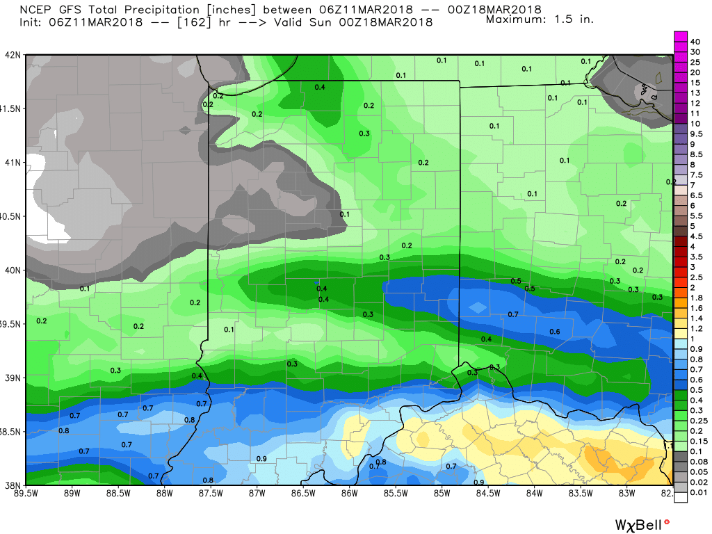
 In general, we expect 0.25″ to 0.50″ across central IN with showers in the Friday-Saturday time period.