Gorgeous Fall Weather…
|
Sun. |
Mon. |
Tue. |
Wed. |
Thr. |
Fri. |
Sat. |
|
|
|
|
|
|
|
|
|
46/ 68 |
46/ 69 |
48/ 67 |
46/ 68 |
46/ 71 |
49/ 75 |
54/ 82 |
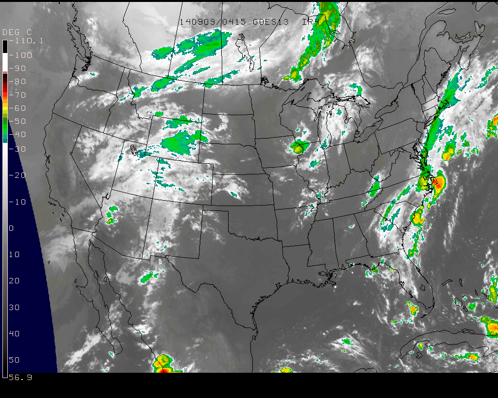
Fantastic Fall Day…Chilly Canadian high pressure will remain in control of our weather today and help supply lots of sunshine. High temperatures will rebound into the upper 60s after the chilly start, but this is still (11) degrees below the average high of 79.
Weak Frontal Boundary Moves In…A weak and moisture-starved frontal boundary will slip into the region Monday afternoon and evening (about 12 hours earlier than we thought yesterday). We’ll notice an increase in cloudiness tomorrow along with the chance of a few light showers through the afternoon and evening. We’re not looking at significant rainfall totals, but plan to pack the umbrella as you may need it heading out of the office tomorrow evening.
Back To Dry And Cool…With the exception of Monday, the rest of the work week will be dominated by more ideal fall weather. Temperatures will remain below average, though slowly begin to moderate towards week’s end. Sunshine will continue and the combination between dry sunny days and clear, chilly nights will likely begin getting the color season underway a bit earlier than normal this year. BTW- in the coming weeks ahead, please send in your fall foliage shots to bill@indywx.com!
Quick Warm-Up Ahead Of Next Storm System…While we think we’ll stay dry Saturday, the second half of next weekend may be wet and unsettled as our next storm system moves through. We’re siding with the European forecast model in regards to rainfall/ storm timing and another chilly Canadian high moving in for now. Stay tuned.
7-Day Precipitation Forecast:
- 7-Day Rainfall Forecast: 0.10-0.25″
- 7-Day Snowfall Forecast: 0.00″