What Season Is This? Active Pattern Develops…
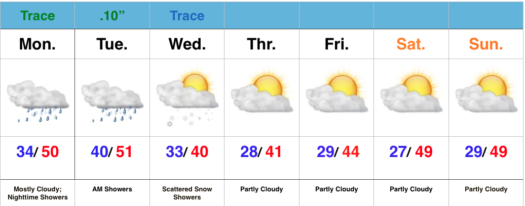
 Highlights:
- AM fog gives way to sunshine
- Another fast moving disturbance moves through Tuesday night-Wednesday
- Major warmth
- Stormy finish
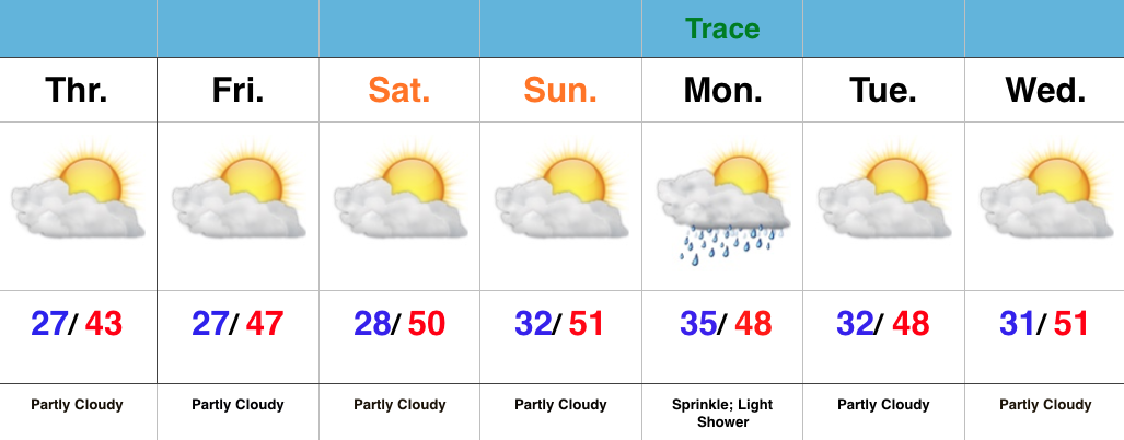
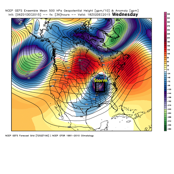
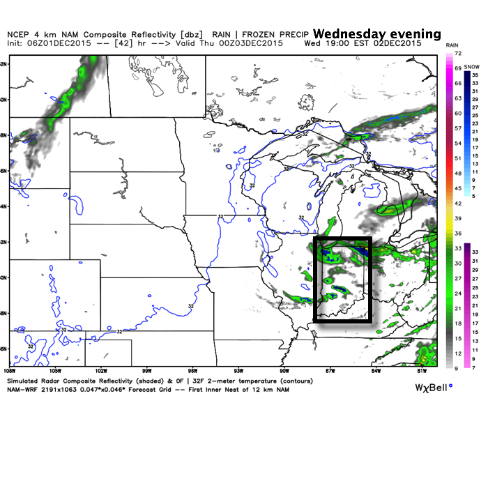
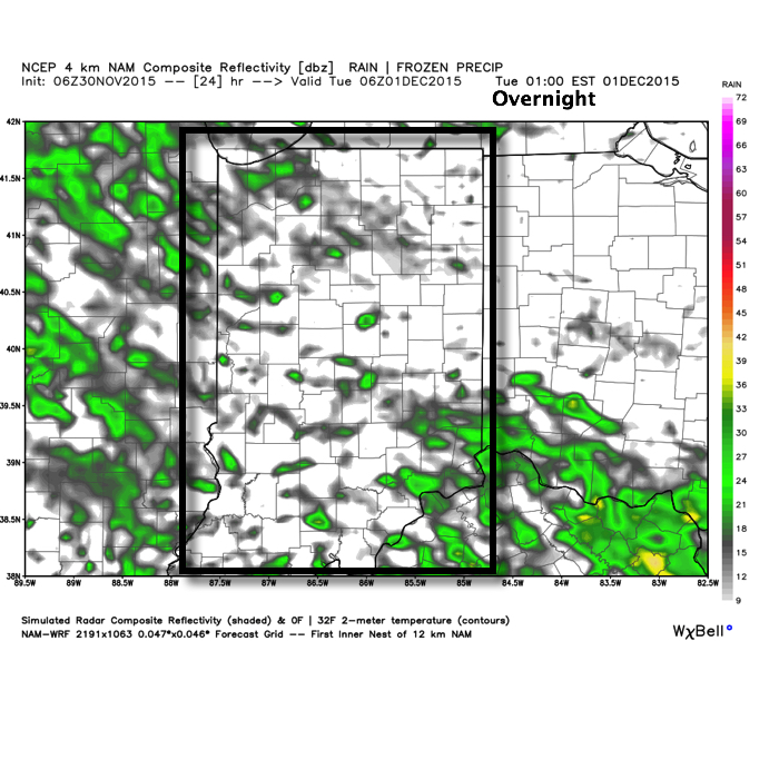
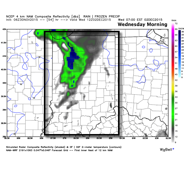
A quick glance at the updated 7-day shows two things, a lack of cold air and a rather active time of things. In the near term, it remains a relatively quiet period. We’ll deal with morning fog in spots this morning (especially north-central IN) and another fast moving disturbance in the Tuesday night-Wednesday time frame.
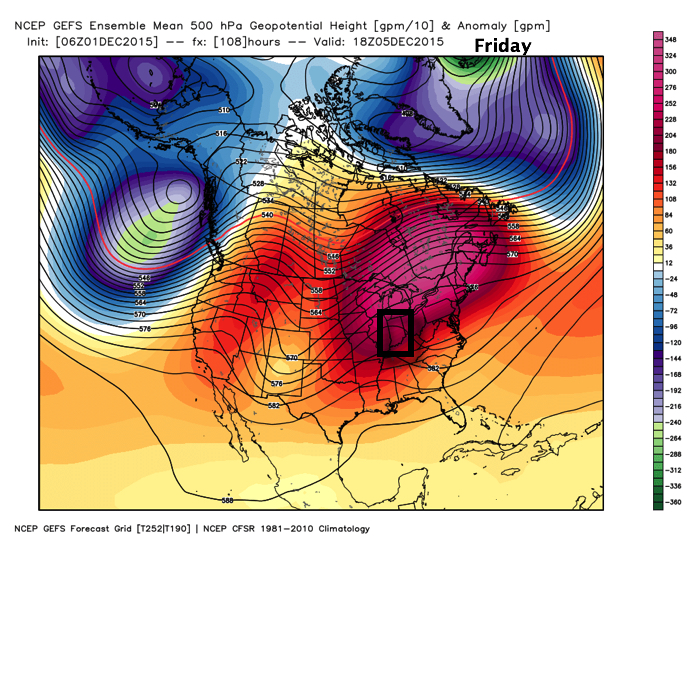
The big story as we move into the back half of the week is the unseasonably warm regime that will have many asking “What season are we in?” We’ll aim for the upper 50s Thursday, around 60 Friday, and upper 60s Saturday as a strong SW flow develops in advance of our next storm system
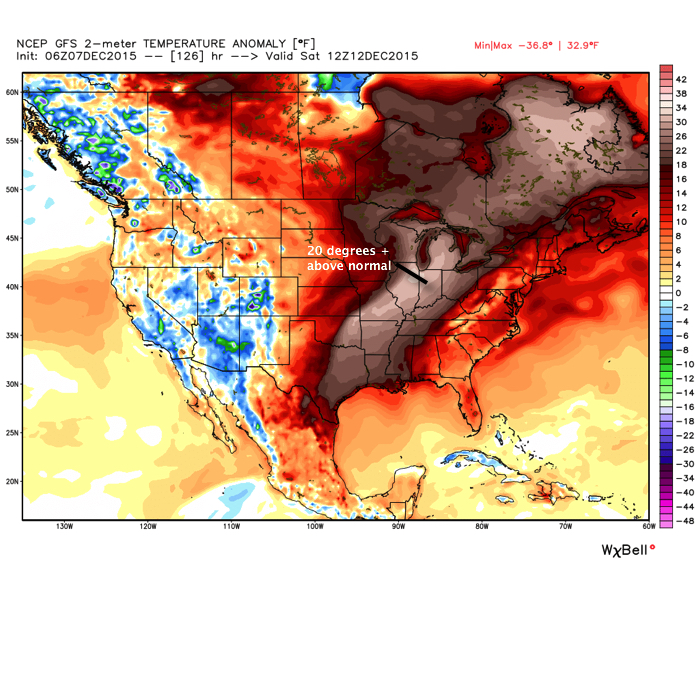
While a scattered, fast moving, shower is possible Saturday, the big story will be the warmth and a gusty SW breeze.
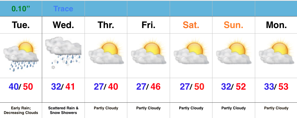
Our storm system will grow closer Sunday and we’ll ramp up rain and storm chances accordingly during that period. Our two most trusted global models handle things differently as we progress into the Sunday-Monday time frame (strength, track, and timing), and we’ll need to continue to fine tune that particular period as we move forward. As it stands now we’ll forecast rain and thunderstorms to become widespread Sunday before colder air arrives on the backside of the storm. Stay tuned.