Updated 04.25.24 @ 7:15a
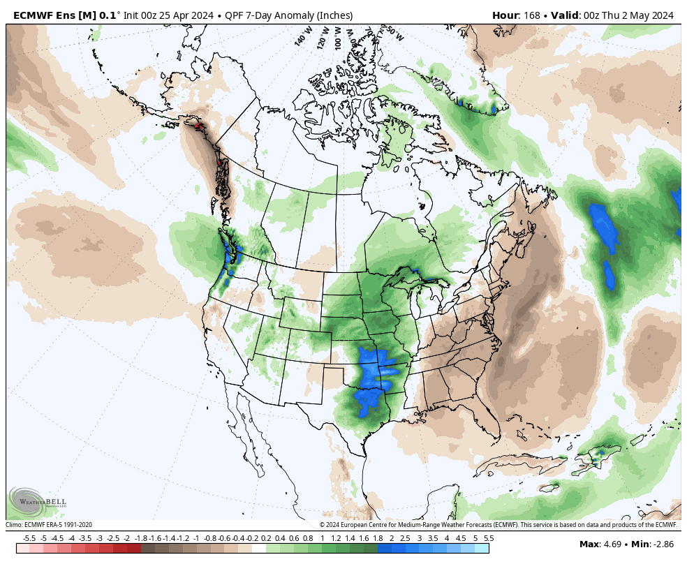
While we have a couple of storm systems to track in the upcoming week, the majority of the heavy rain and severe weather will remain confined to areas west of here- mostly throughout the Plains and into the upper Mid West. In short, the immediate-term has “more bark than bite.”
The overall long range look reflects a lack of any sort of stagnant regime, locally, and it also doesn’t show that we’ll have to endure much in the way of “extremes” over the upcoming 3-4 week period from a temperature or precipitation perspective. – A good sign as Plant24 hits its true stride.
Week 1
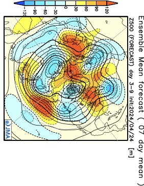
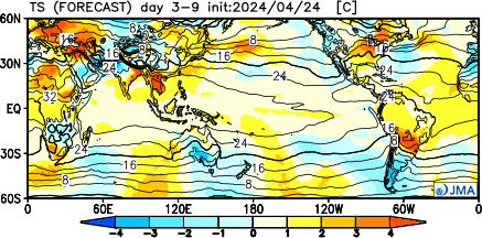
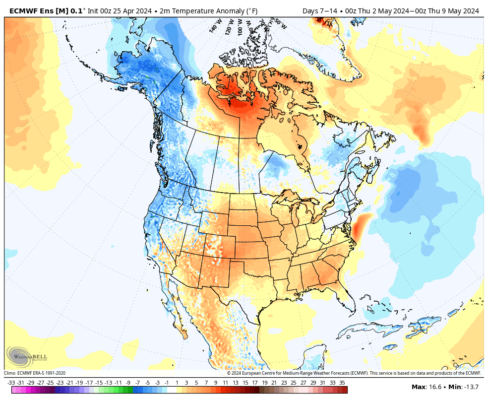
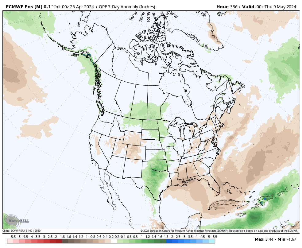
The JMA and European are in agreement that this period will feature warmer than normal temperatures and near average rainfall. Of note, we’re tracking storm systems that will impact our weather Friday, Saturday, and again Monday and Tuesday.

Week 2
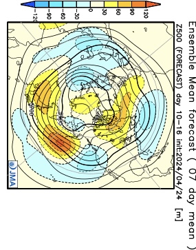
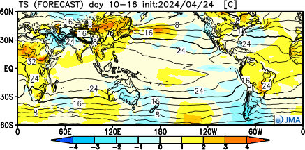
We note guidance getting more bullish on an East Coast trough beginning to develop during this time period. While likely averaging out slightly above normal as a whole in Week 2, I’d also plan on a few days of cooler air (type of stuff that could send us to around 40° at night and low-mid 60s during the day) around the Day 8 – 10 time frame. The period should once again feature timely rains, but nothing far off from the average.
Weeks 3-4
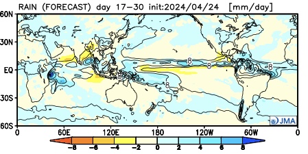
It’ll be interesting to watch what the European Weeklies do later today during this time frame, but the JMA is highlighting a more unsettled (wetter) pattern for now in the middle to latter part of May. Near to slightly below average temperatures and widespread above normal rains are being shown. (We’ll update this period after reviewing today’s European Weeklies).


