Updated 04.21.24 @ 8:54a
It was a frosty start to the morning across central Indiana, especially in outlying areas. We’ll do it all over again tonight and Monday morning as temperatures dip back into the lower and middle 30s. The fine folks over at the Indianapolis National Weather Service office have hoisted a Frost Advisory from 1a to 10a Monday.

Otherwise, the work week will open with a continuation of the sunny skies we’ve enjoyed over the past few days.
That will all begin to change as a cold front arrives from the northwest on Tuesday. Clouds will quickly return and showers and thunderstorms will follow. We’re not talking about excessive rainfall with this system, but 0.25″ to 0.50″ is likely as the front moves through the Ohio Valley. Gusty southwesterly winds can also be expected, including up to 40 MPH at times Tuesday.


This will be a fast moving system and dry conditions will quickly return overnight and into Wednesday morning. This FROPA we’ll also help to reinforce the chilly airmass and a renewed frost (and potentially even a freeze) threat looms by Wednesday and Thursday mornings.

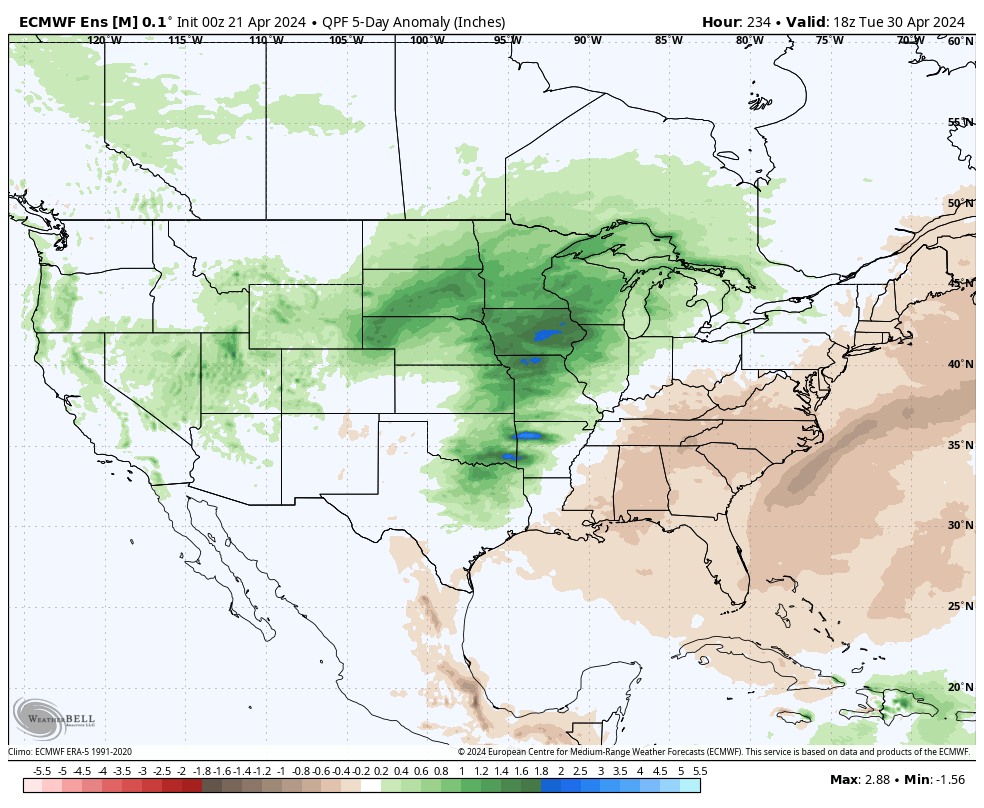
As we roll into next weekend, an overall regime change is on the docket, including a much warmer and more humid airmass engulfing the region. Along with this transition to more of a tropical feel, heavier rain and storms will return as well. As of now, closing out April and opening May is looking to feature numerous heavier rain and storm events. This will all get kicked off Friday.

Leave a Reply