Updated 03.02.24 @ 6:38a
An unseasonably mild week is on tap with a couple chances of rain and embedded thunder. Widespread, organized severe weather isn’t anticipated in the upcoming week.

Forecast Period: 03.02.24 – 03.09.24
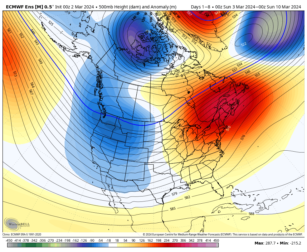
After a quiet weekend (including a progressively brighter sky :-)), unsettled weather will come at us in 2 waves in the week ahead: Monday evening into Tuesday morning and again Friday evening into Saturday. In both cases, we expect widespread precipitation. In the case of our early week system, embedded thunder (non-severe) can’t be ruled out. With our late week storm system, the early call now is for more of an organized general rain to fall. Colder air will return to the region by the latter part of next weekend, potentially including some snow showers by Sunday.
Upcoming Storm Dates to keep an eye on:
- 03.04 – 03.05
- 03.08 – 03.10
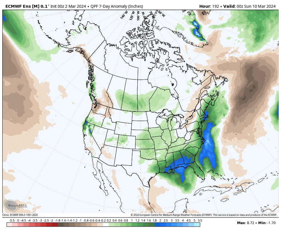
*10-Day Rainfall Projection: 1.00” to 2.00”
Leave a Reply