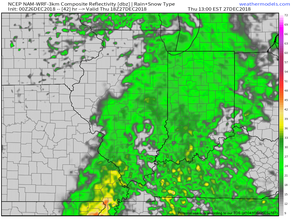
Tomorrow will be a rather uneventful weather day across central Indiana, but things will begin to change as we head into Thursday.
An area of low pressure will track out of the central Plains into the Great Lakes by Friday. The end result will be increasing coverage of showers Thursday afternoon and perhaps even a rumble of thunder Thursday evening.

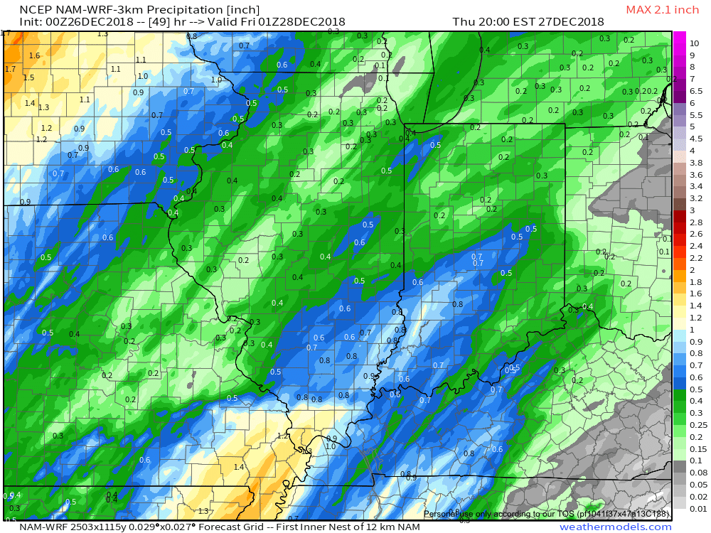 Most of the concentrated rain should come to an end around dark Thursday. By that time we forecast a general 1/2″ to 1″ to fall in area rain gauges.
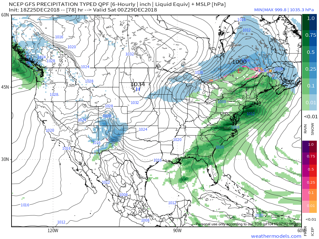
More seasonable air will blow in here behind the storm system and we’ll have to keep an eye on energy “attacking” from behind over the weekend. With colder weather in place, snow is possible next weekend.

Looking ahead, a combination of ingredients appears to be coming together to create a rather significant transition in the pattern as we head into January. Note the developing positive PNA…
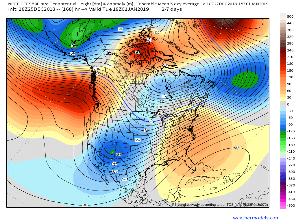
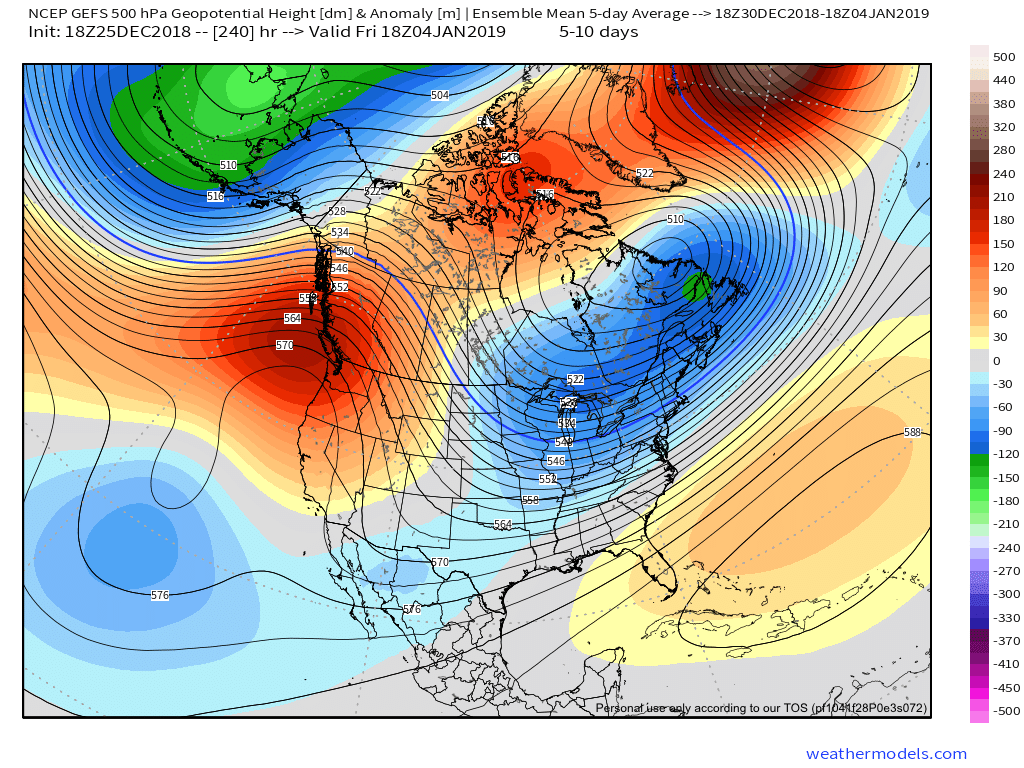
This will result in more sustained below normal temperatures making a return early January to our neck of the woods…
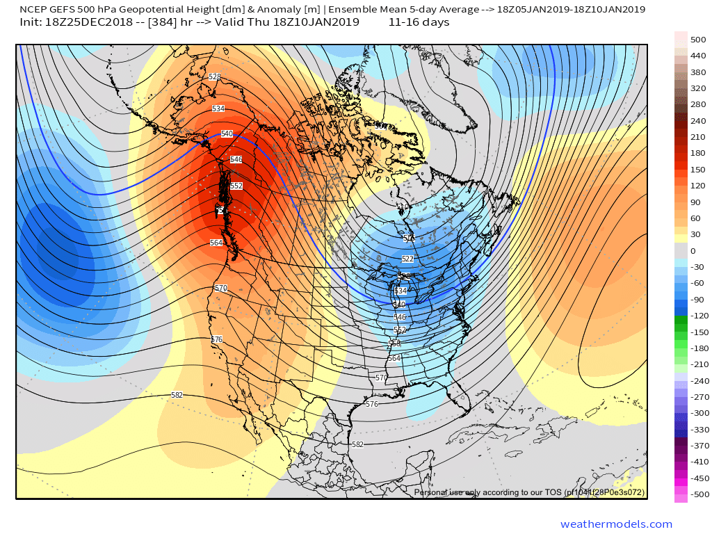
Additionally, it also appears an active storm track will continue. While impossible to say this far in advance, prospects for above average snowfall (average is 8.6″) appear likely through the month of January.
Leave a Reply