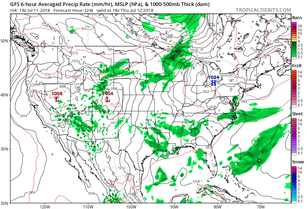
I. High pressure will remain in control of our weather as we wrap up the work week providing dry conditions. Expect another day of low humidity Thursday before a tropical air mass returns.
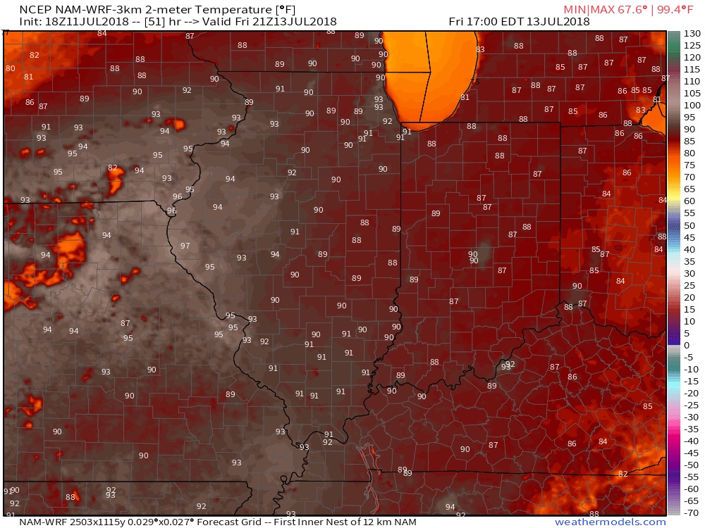
II. Heat and humidity will return to oppressive levels this weekend. Highs will top out in the lower 90s Friday and will be the start of a few days of highs in the lower to middle 90s and lows in the lower 70s through the weekend. Heat indices will go north of 100° at times this weekend.
III. A more unsettled regime will develop as we rumble into Sunday and Monday with increasing shower and thunderstorm chances. As cooler air begins to fight into the heat and humidity, a few heavy storms and locally heavy rain will result early next week before the front passes Tuesday. Widespread 0.50″ to 1″ rainfall should be expected during this time with localized heavier totals.
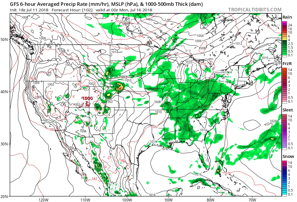
IV. A secondary cold front will approach the following weekend with another push of more significant cool air, along with widespread rain and storm chances.
As a whole, the last 10 days, or so, of the month look to run cooler than average and the transition to cool will come with beneficial rainfall…

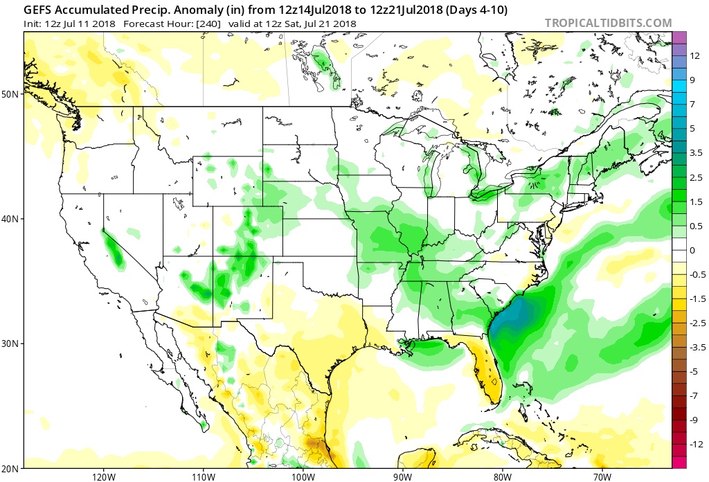
V. Looking even longer term, we continue to believe that after this weekend the worst of the summer heat will be behind us. That’s not to say additional hot days won’t resurface at times in August (it is August, after all), but the pattern, as a whole, doesn’t seem to support the duration of significant heat that the first half of July has offered.
Attention here is squarely on what the upcoming fall and winter will deal central Indiana…
Leave a Reply