Updated 04.17.24 @ 5:17a
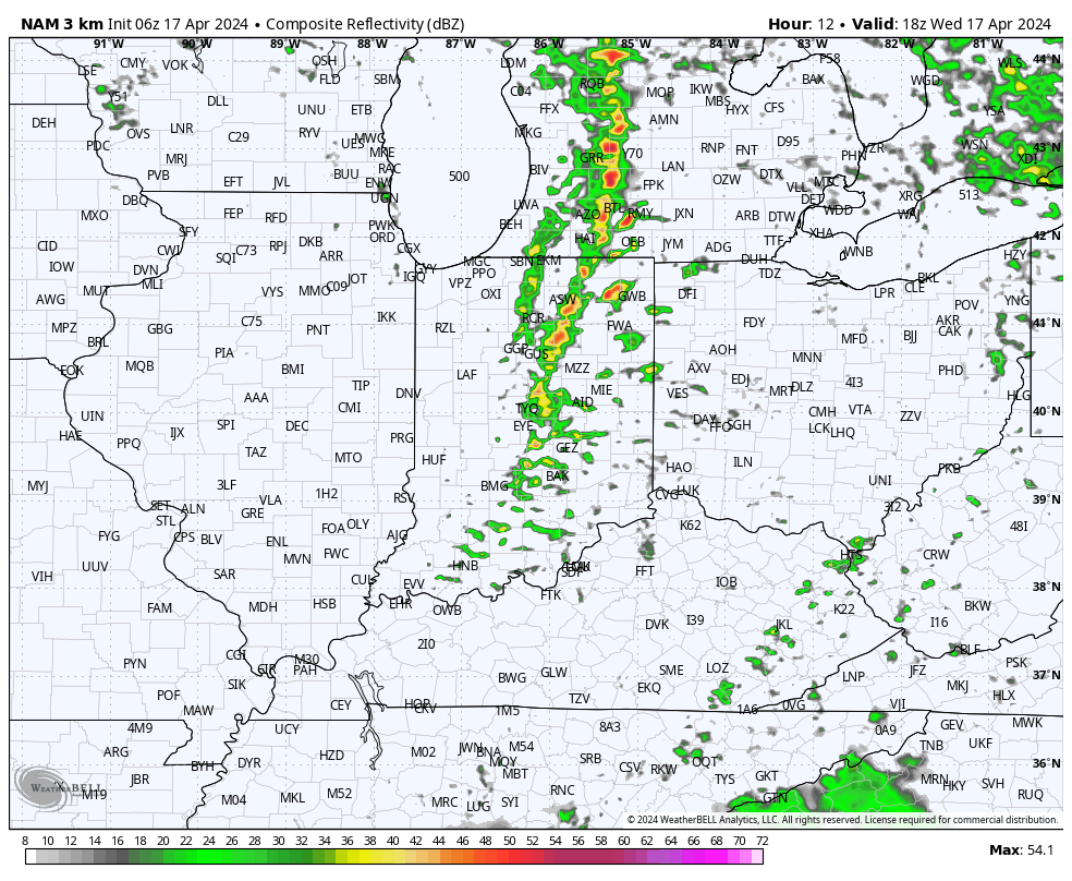
While we’re still tracking storm potential today, there are a lot of questions around where these will initialize. Thinking here is right around the city, itself, and then points northeast (better chance of stronger storms for places like Fort Wayne and Muncie than Indianapolis-proper).

Storms should develop around or just after lunchtime (around 1p, or so) across central Indiana and then race off to the east. Damaging straight line winds are of greatest concern with the stronger storms. Non-thunderstorm wind gusts of around 40 MPH can also be expected today.

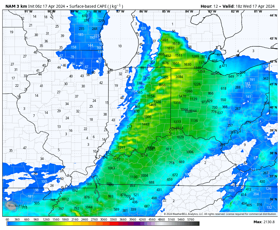
Instability levels are marginal at best today which, thankfully, should prevent widespread severe weather, locally.

A more stable airmass will quickly arrive tonight and remain in place through the daytime Thursday.
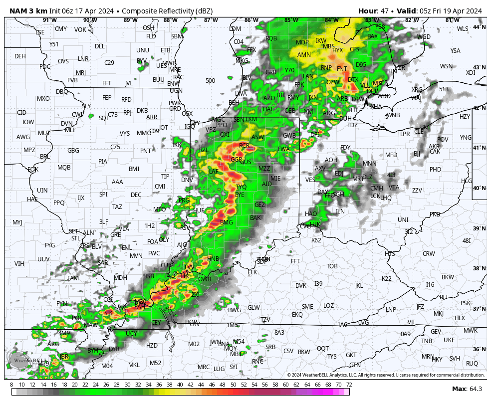
Our next round of storms, some of which will likely be gusty, will blow into town overnight into the predawn hours Friday.

High pressure is still slated to build in to allow for a much calmer (and cooler) weekend. Keep an eye on the potential for frost both Sunday and Monday mornings.

