Updated 12.25.23 @ 6:58a
From our family to yours, we wish you warmest Christmas blessings and a joyous holiday season!
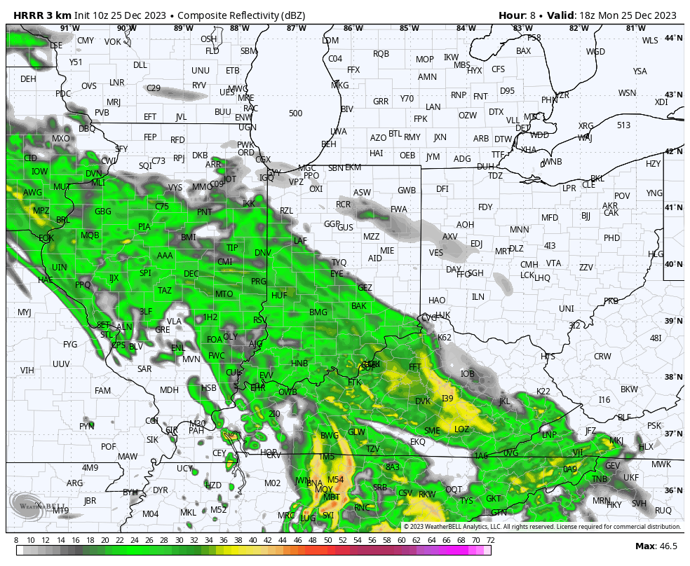
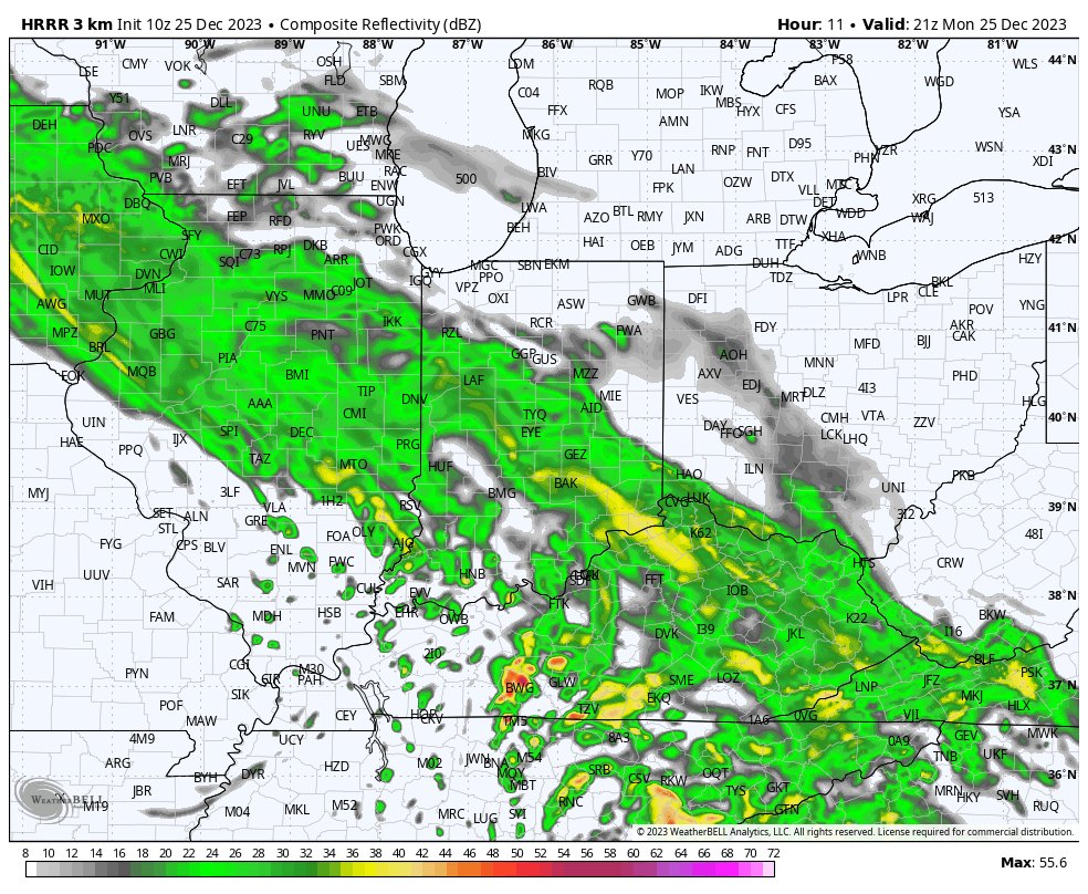
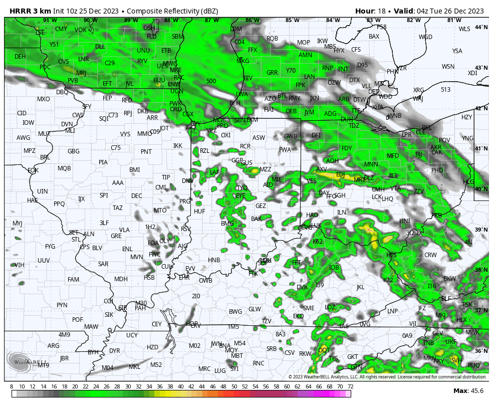
After a dry start to the day, rain will lift north and overspread central Indiana late morning into the early afternoon. A few moderate showers are likely at times. Rainfall coverage and intensity will diminish significantly as we move through mid and late evening. Though there will be a few exceptions, generally 0.50” to 0.75” will fall south of the I-70 corridor with amounts of 0.25” to 0.50” north of I-70.

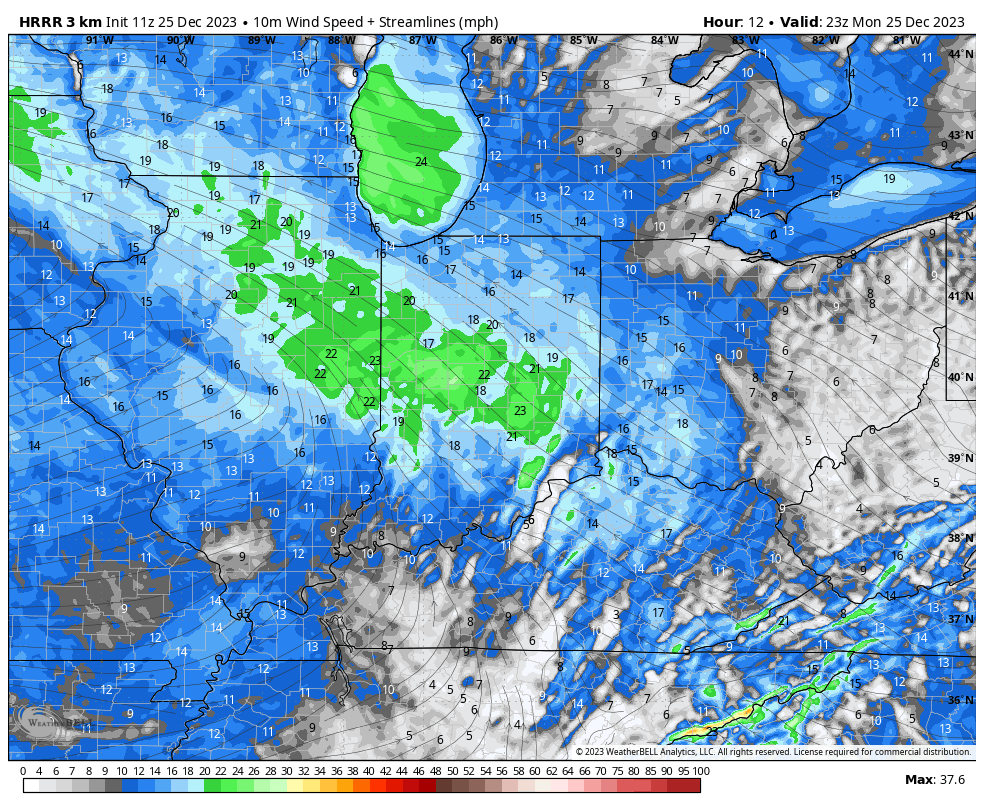
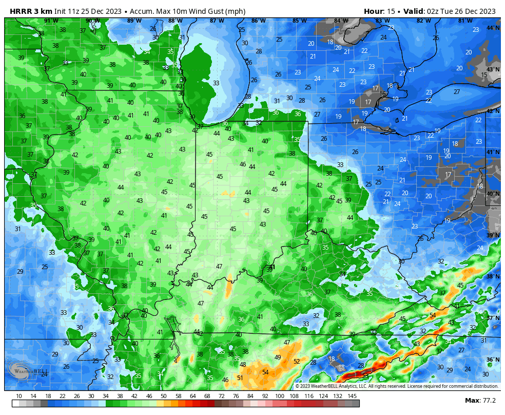
Strong southeasterly winds and unseasonably mild temperatures can also be expected today. Gusts will approach 40 MPH this afternoon across all of the region.
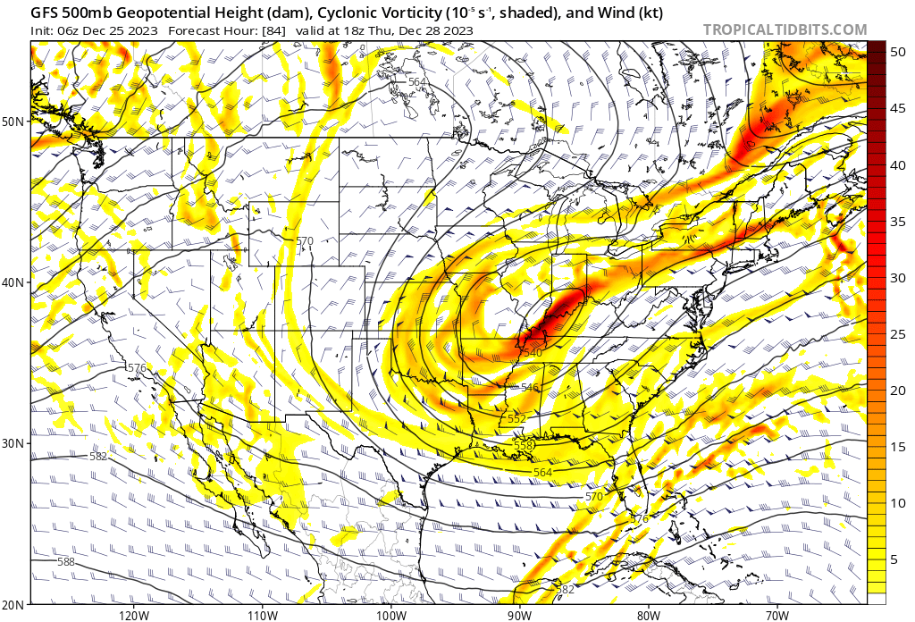
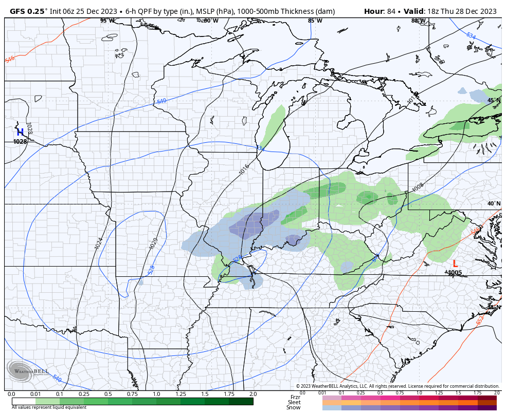
Our weather will dry out Tuesday and Wednesday but by this time all eyes will be poised to our west as we wait in the cold core upper level low to pivot across the region. While there won’t be a lot of cold air readily available for this system to tap into, we’ll have to see if it can manufacture its own cold air to create some potential localized winter weather “issues” for portions of the southern Ohio Valley and especially the Appalachians prior to the New Year’s weekend. For now, we’ll forecast a mix of rain and snow here Thursday- just know that we’ll likely have to firm that up once the details become clearer regarding the exact track of the upper low. As the ole saying goes, “cold core upper low, weatherman’s woe.” Solutions range from a cold rain to a localized accumulating wet snow event…
