Updated 07.04.23 @ 10:53p
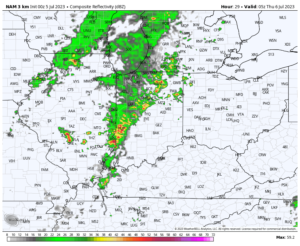
Most of our hump day should feature quiet conditions. A couple renegade storms will likely fire up during the mid to late afternoon hours. These will be ahead of a more organized line of storms impacting Illinois. That particular line will rumble east into the state towards 10p to 11p and likely reach the city, itself, around midnight.

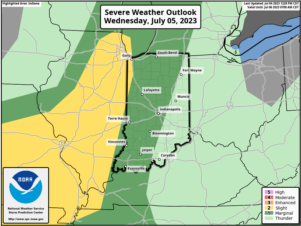
The Storm Prediction Center (SPC) includes central Indiana in a ‘marginal’ risk of severe weather Wednesday. Damaging straight line winds are of biggest concern with this line.

While we’ll need to monitor radar trends and overall timing, as of this evening, it doesn’t appear that this will be a widespread severe weather maker (available energy and a late evening arrival argue against this being a significant event).
On the road early tomorrow morning but will be sure to have a fresh video update posted Wednesday evening with updates on the above and a look ahead to the next couple weeks.


