
Updated 06.23.23 @ 7:25a
The cut off upper low that’s been plaguing the Southeast and portions of the eastern TN and Ohio Valley regions throughout the work week will finally get the boot off to the northeast today. We’ll have to deal with lingering clouds and perhaps an isolated shower, but similar to recent days, any meaningful precipitation across immediate central Indiana will be few and far between.

Clouds will decrease tonight and pave way for a mostly sunny and pleasant Saturday. Though certainly warmer than recent days, humidity levels will remain well within the “comfy” range by most standards.
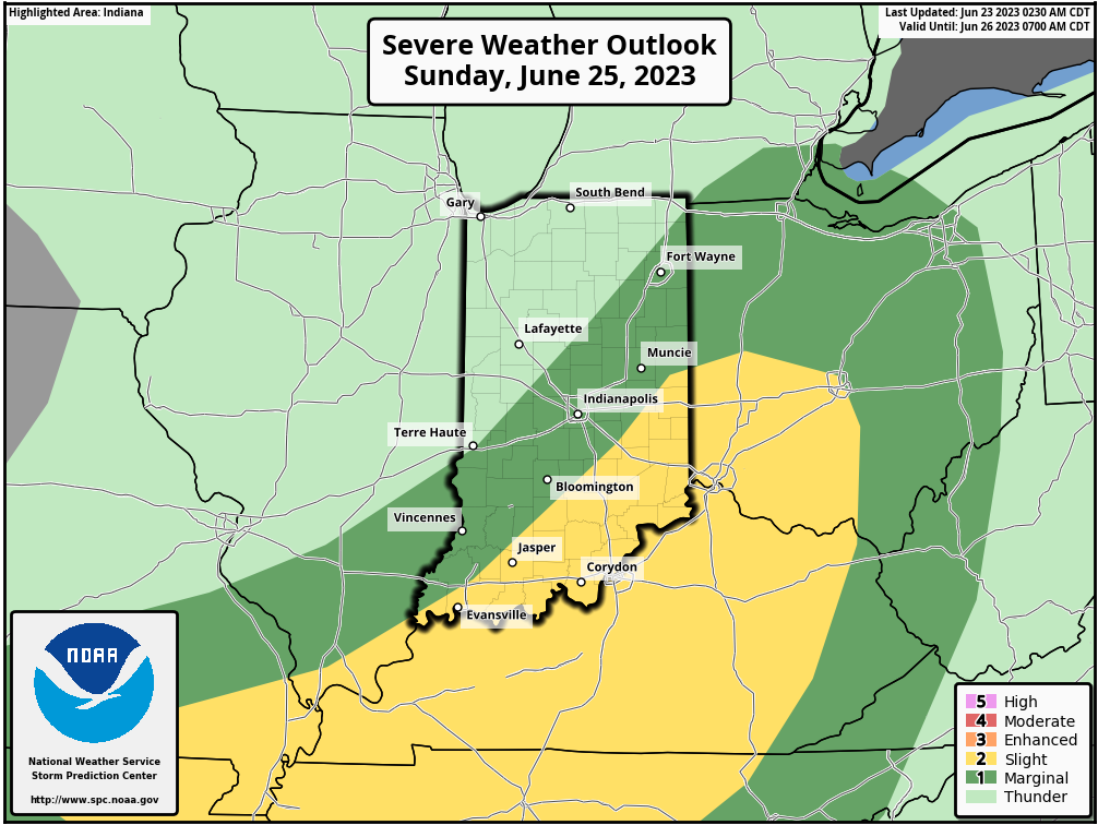
A new storm system will approach from the northwest Saturday night. Clouds will quickly increase after dark and we’ll monitor what should be a decent storm complex plowing through portions of IA, IL, and MO by evening.
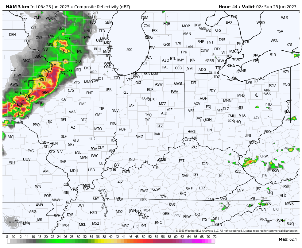
Most shorter term models diminish this storm complex as it pushes into Indiana overnight, but we’ll need to keep a close eye on trends over the next 24-36 hours. Regardless, a new complex of storms will likely flare up Sunday along whatever outflow boundary is left behind from Saturday evening. As of now, it appears as if this would most likely take place to the southeast of our immediate area but we’ll continue to closely monitor.
A fresh push of dry, cool, Canadian air will blow into town as we start the last work week of June (where is time going)?! Overnight lows may even dip into the 40s for some outside of the city come Wednesday morning.