Updated 10.08.22 @ 4:57a
September 24th, that’s the date we have to go all the way back to to find the last drop of measurable rain (0.34”) at IND. While there were a few scattered light showers around Thursday, these were of little to no fanfare for most neighborhoods across central Indiana.
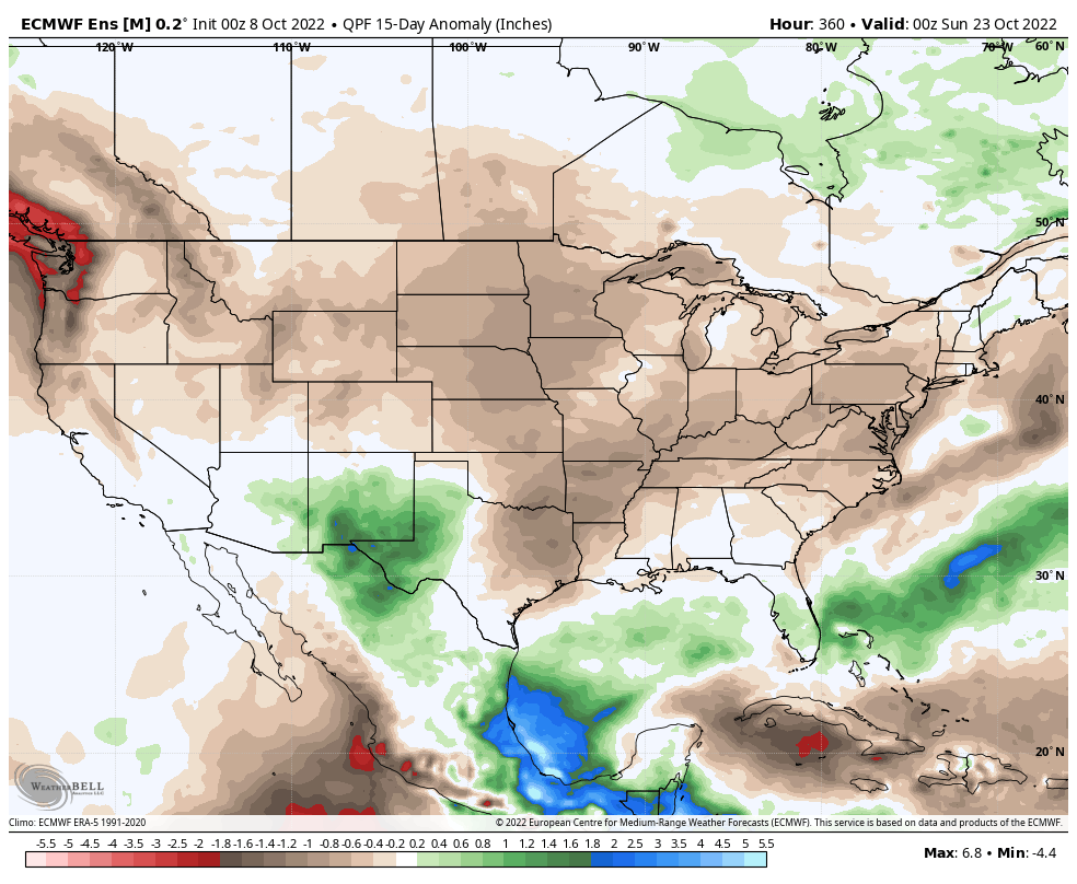
Dating back to early September, most of the region is running anywhere from 10% to 50% normal rainfall as shown below (courtesy of the fine folks at the Midwestern Regional Climate Center).

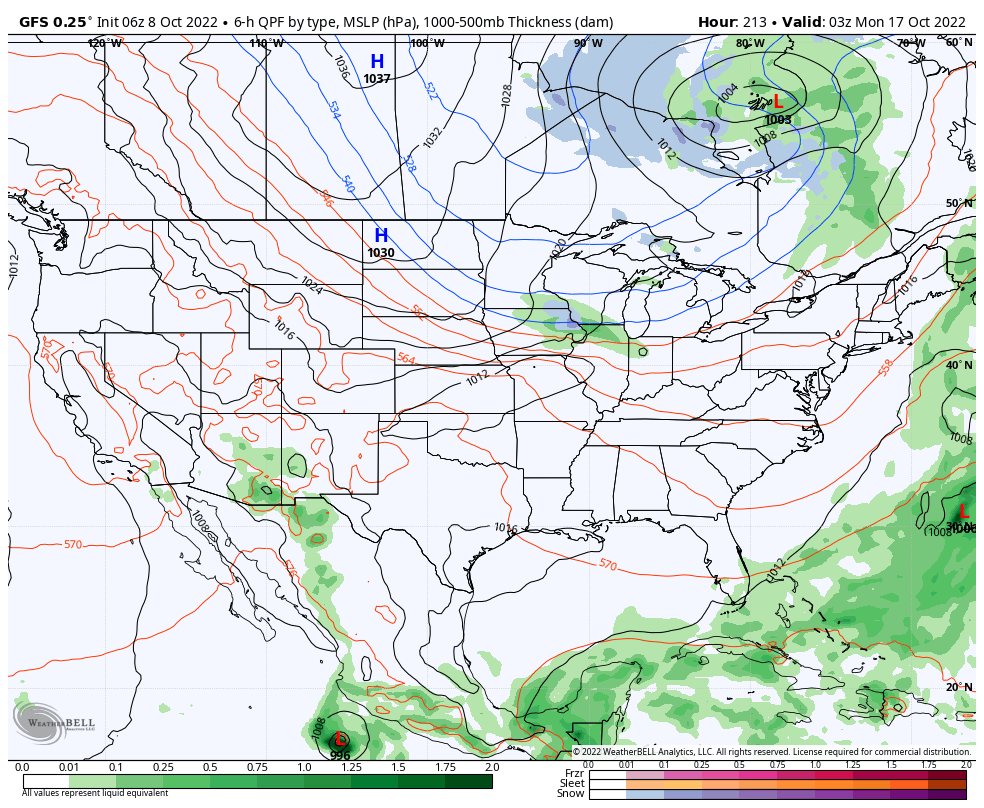
Looking ahead, we’ll note a more significant return of moisture (certainly when compared to the past few weeks) ahead of the first of (2) frontal passages late next week. Long term, however, there’s no significant change in the overall dry regime as a whole when compared to normal over the upcoming couple weeks.
As we center ourselves closer to the immediate term, the first front will crash an unseasonably warm party (making the push for 80° territory Wednesday) with shower chances (maybe a couple storms to boot) increasing Wednesday evening into the predawn hours Thursday. Early data into the forecast office suggests this frontal passage delivers anywhere between 0.25” and 0.50” to the region and we’ll have to firm up those numbers as we get into the new week.
A sharp cool down is on tap Friday with highs at November-like levels (low-mid 50s).
A secondary front follows and is focused on reminding us winter is just around the corner. The first lake effect and higher elevation (looking at you east TN and western NC mountains) snow of the season is on the table early Week 2 behind the passage of this front, along with a hard freeze for the rest of us.