
Updated 09.05.22 @ 8:45a
I hope this finds you enjoying a relaxing Labor Day. Below are some headlines that have our attention as we progress through the week ahead and look forward to the middle of September.
1.) Brighter Days Ahead: Our region has been under the influence of an area of low pressure and associated upper level trough for the past few days. Unfortunately, gloomy skies will prevail today along with scattered slow moving downpours. While everyone won’t get wet, those that do find themselves under one of these convective downpours could easily pick up a quick 1″+ of rain in under an hour. Thankfully, a drier airmass will begin to build in Tuesday before really taking hold in earnest Wednesday through Friday. This will deliver an increasingly sunny sky and lower humidity levels.
2.) Potent Weekend Cold Front: When the calendar turns to September, we always have to start paying a little more attention to approaching cold fronts. That, of course, becomes even more the case the deeper into the fall season we go. The fall severe weather season occasionally rivals that of the spring around these parts and temperature changes become more significant as the days go by. This weekend will feature the 1st true autumn-like frontal passage of the young meteorological fall season.
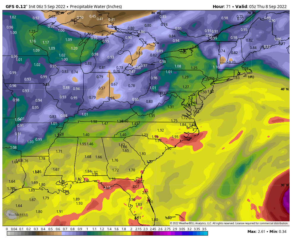
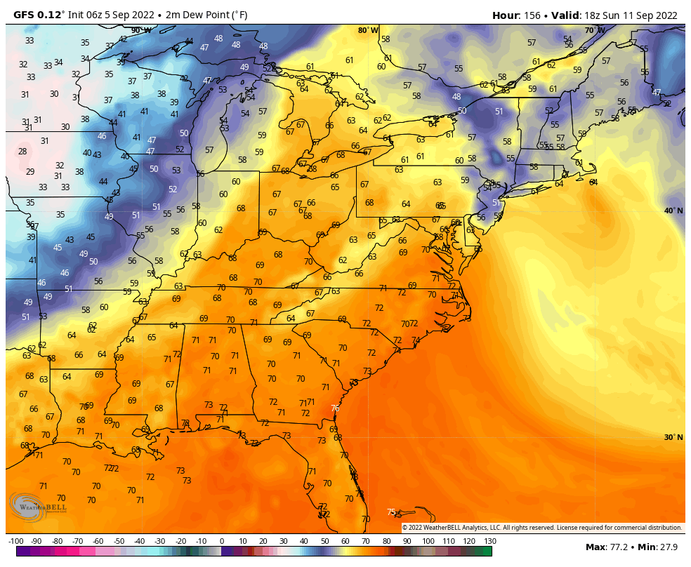
Ahead of the boundary, southerly winds will pull an increasingly moist and unstable airmass northward (you’ll really notice a difference in the airmass Friday morning compared to that of Saturday morning). It also wouldn’t surprise me if the Storm Prediction Center is forced to hoist a risk of severe weather across the Ohio Valley Saturday, including here in Indiana. The front is expected to sweep through the state Sunday morning and then we’ll deal with a brief, but significant, “pop” of much cooler, drier air (coolest so far of the season) as we open up next week.


3.) Mid-September Warm Up…Despite the aforementioned “pop” of cooler air to open up next week, all indications continue to point towards another significant warmup with a building ridge over our part of the country as we head into the middle of September. In fact, don’t be shocked if we’re still not quite done with the 90s for the year…
As it sits right now, it appears as if the heat will really start to build towards the end of next week and into the weekend of the 17th. Based on longer range pattern drivers, the balance of the 2nd half of September should run above normal.
