
Updated 07.18.21 @ 7:48a
Forecast Period: 07.18.21 through 07.24.21
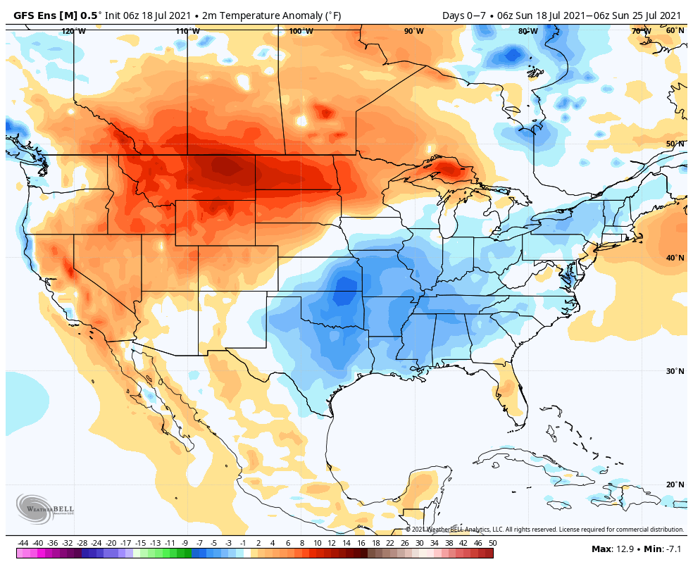
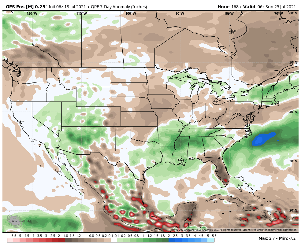
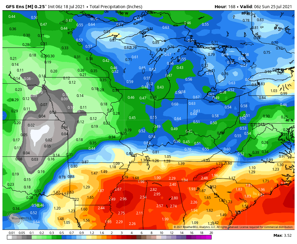
We’ll finally see a period to dry things out to open up the new week. That’s a good thing as we’re running a whopping 3.7″ above normal, month-to-date. High pressure will supply increasing sunshine and eliminate rain chances from our forecast today through Tuesday. Our next opportunity of showers and thunderstorms will come Wednesday as a frontal system scoots through the area. We’ll then get back into a more active stretch as a northwest flow aloft offers up the chance of southeast moving storm clusters to impact our weekend plans. We’ll need to monitor things as we get closer. In addition to a heavy rain threat, this kind of upper pattern has been known to support storm clusters that can also pack strong winds on the leading edge. The other big story this week will be a continued lack of heat. Before we get back to stormy times, the Sunday through Tuesday stretch will truly feature “chamber of commerce” type weather by late-July standards. Get out there and enjoy!