
Updated 07.09.21 @ 8:13a
Drier and cooler air will be with us to close out the work week, but changes are on the horizon just in time for the weekend.
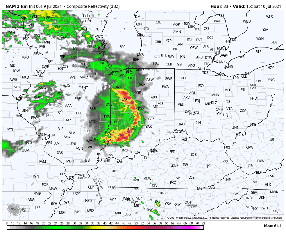
It still appears as if we will deal with a couple rounds of more widespread showers and thunderstorms Saturday. The first complex will likely impact central and southern Indiana Saturday morning (bracketing the hours of 8a to noon west to east for round 1).
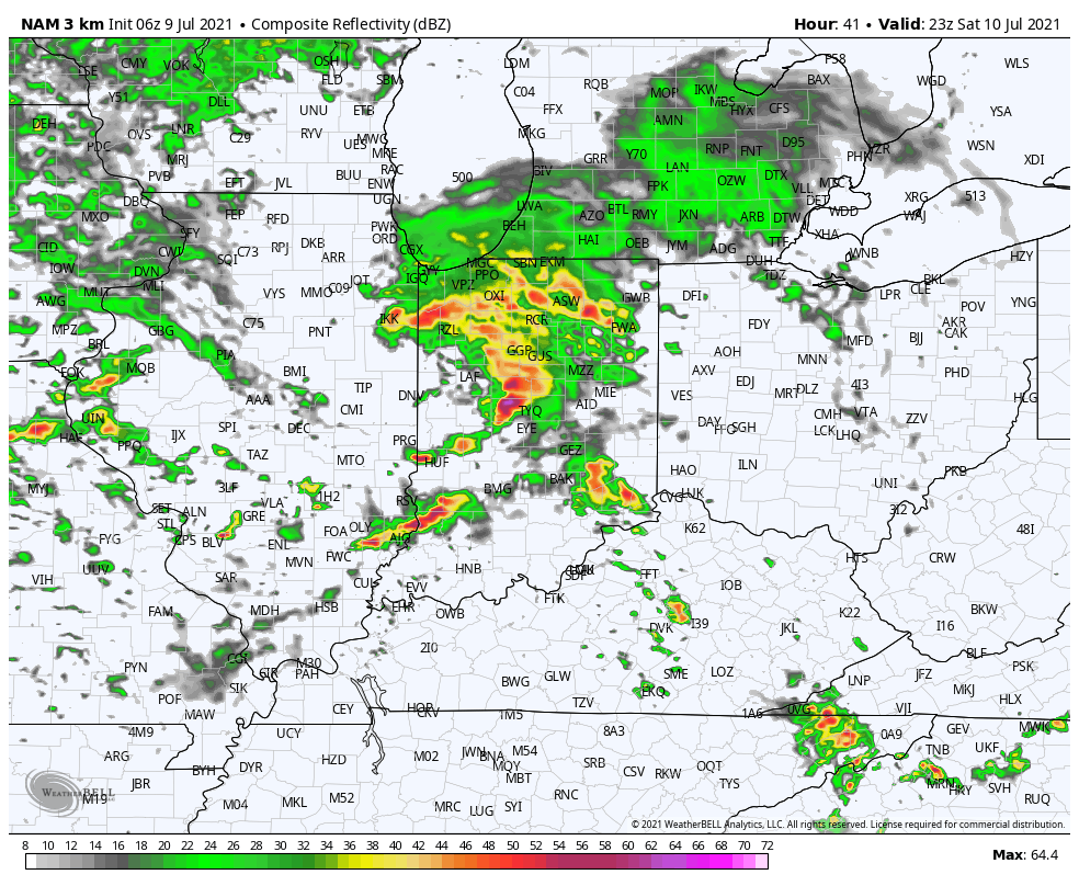
High resolution guidance then delivers a 2nd round of showers and thunderstorms into the state during the late afternoon and evening hours.
A moist southerly flow will continue to impact the region into early next week, keeping periods of scattered showers and embedded thunder in our forecast Sunday through Tuesday (most numerous during the afternoon and evening hours).
While we can’t completely rule out rain Wednesday, coverage should be less compared to what we’ll see in the short-term period. Rain and storm coverage will then ramp back up the 2nd half of the week into next weekend. All in all, it’s a very active pattern that will undoubtedly produce localized flash flooding across portions of the region.
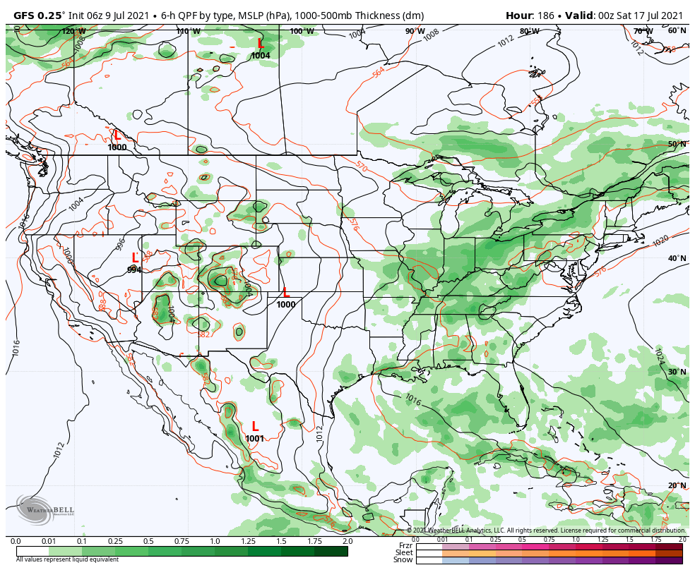
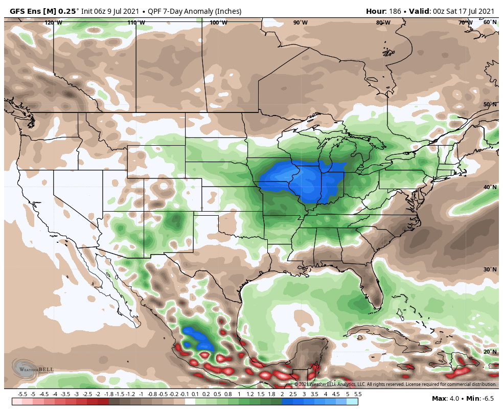
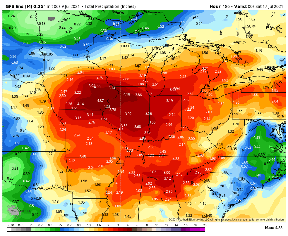
Looking ahead, all indications continue to point towards above normal rainfall as we progress through the latter part of July. As has also been the case, we don’t see any sort of sustained heat on the horizon through the end of the month.