Updated 07.02.21 @ 7:18a
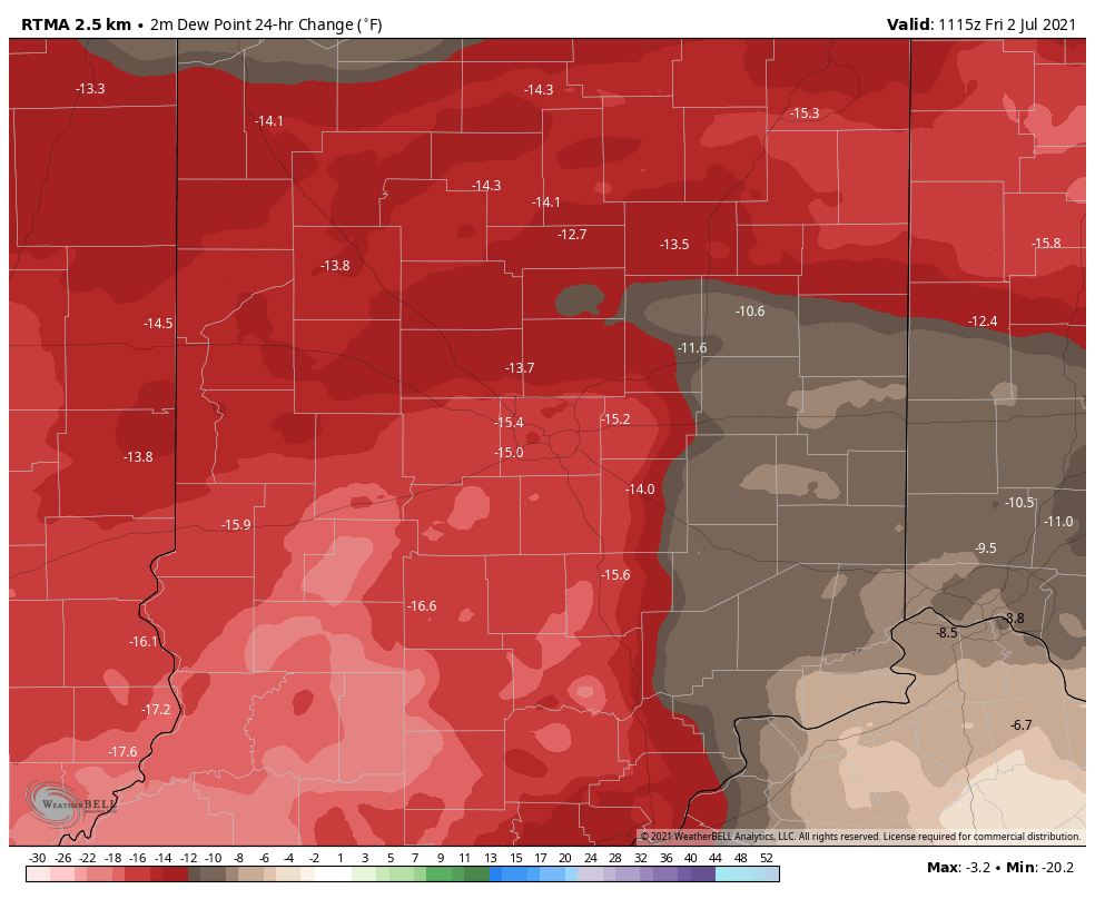
The muggy, tropical airmass that set up shop the better part of the past week is now a thing of the past. Temperatures this morning have fallen into the lower to middle 50s for most of central Indiana (impressive by early July standards) and we’ll likely go a couple of degrees lower than that tomorrow morning. We’ve shaved dew points by 15° to 20° this morning compared to 24 hours ago. Open those windows up and enjoy!
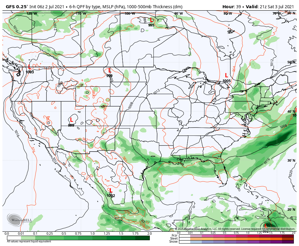
High pressure will dominate our weather through the long holiday weekend, supplying plentiful amounts of sunshine. While the weekend will open cool, temperatures will rebound into the upper 80s for the holiday, itself. Humidity levels will remain low.
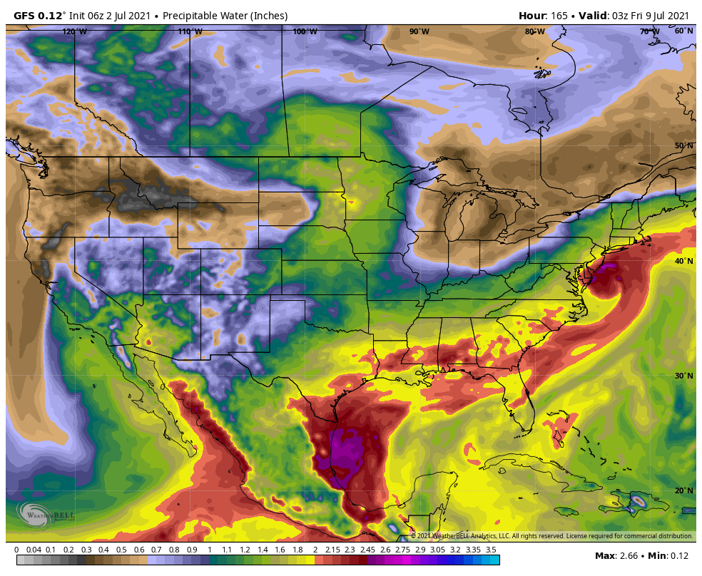
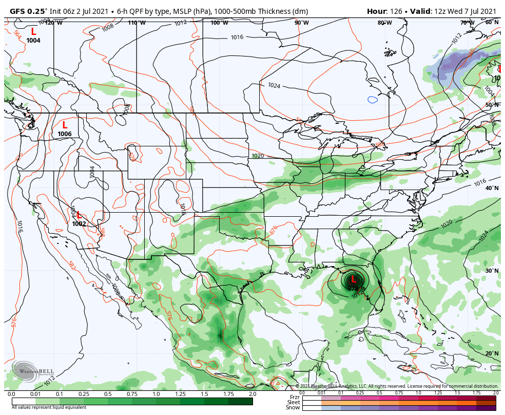
Our next chance of rain won’t arrive until Tuesday afternoon/ evening as a cold front approaches. This front will feature scattered showers and thunderstorms into the day Wednesday (early thinking is 0.50″ to 0.75″ type stuff but we’ll fine tune as we get closer). Another feature I’m sure will catch your attention and that’s Tropical Storm Elsa pegged for the eastern Gulf of Mexico on the latest GFS (been very consistent with this idea). Regardless of Elsa’s eventual track, she won’t be a factor with our weather.
We’ll get back to a drier, cooler airmass next Thursday.