
Updated 04.24.21 @ 9:51a

Forecast Period: 04.24.21 through 05.01.21
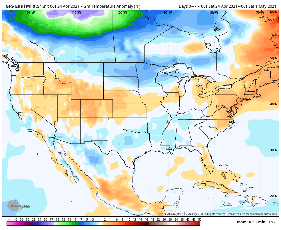
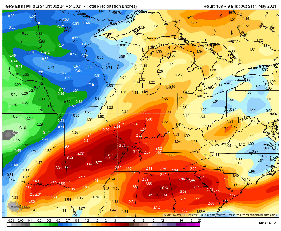
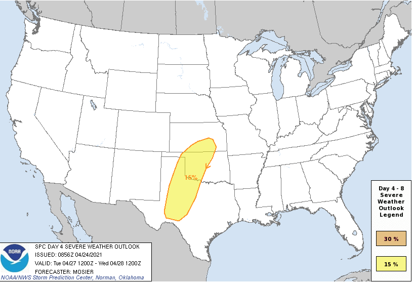
A relatively weak storm system will lead to plenty of clouds today and a couple of light passing showers (better chance of steadier rain downstate). This system will blow by to our east tonight and allow a drier air mass to build into the region as we move through the 2nd half of the weekend, complete with a return of sunshine! Enjoy the sunny and much warmer open to the week as significant changes await by Wednesday. Before this, a strengthening southwesterly air flow will push high temperatures into the lower 80s Tuesday! Attention will then shift to a complex and multifaceted storm system that will deliver heavy rain and thunderstorms (potential present for a couple stronger storms midweek that we’ll continue to monitor) in rounds Wednesday through Friday. While it won’t rain the entire timeframe, periods of heavier rain can be expected. We’ll dry things back out heading into next weekend.