Updated 02.25.21 @ 9:27p
Meteorological spring is only a few days away. After a few weeks of significant winter weather, this week has trended much milder and gives hope to those longing for warmer and increasingly sunny days that spring is truly right around the corner. That said, long time Hoosiers know it’s rare we go from late February into “lock and hold” spring conditions without some sort of set-back.
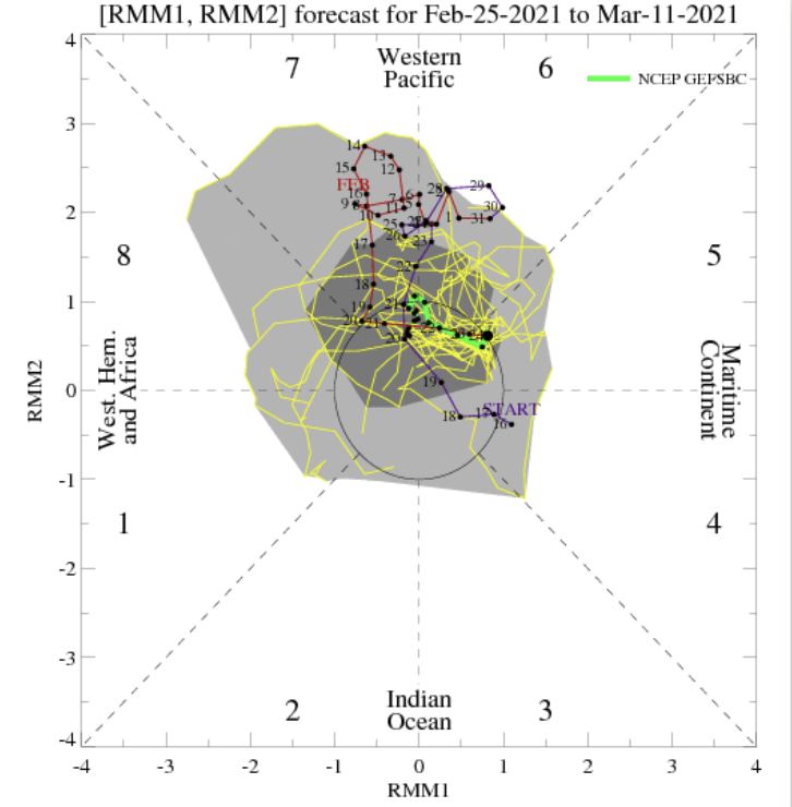
The MJO isn’t offering up much hope for serving as a basis of the longer range forecast over the next couple weeks (looks to remain mostly neutral throughout the period).

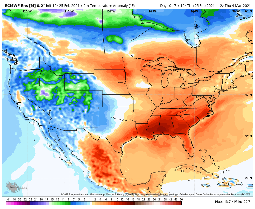
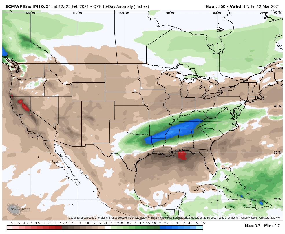
The latest teleconnections don’t favor any sort of long lasting cold over the next 2 weeks, relative to normal. Instead, we’re likely looking at a “transitional” period. While brief bouts of chilly conditions will likely present themselves from time to time, this shouldn’t have staying power- given the setup. Warmest anomalies should center themselves across the north-central with possible cooler conditions (relative to norm) along the eastern seaboard. The tag team effort here would favor wet (potentially even flooding issues) just to our south- TN Valley region. I’d argue for precipitation anomalies to run closer to seasonal norms across immediate central IN over the next 10-14 days.
We note the latest longer range ensemble data is trending in this direction.


We’ll want to keep close eyes on two items, in particular, moving forward: the NAO trends as well as MJO amplitude. From this distance, it sure appears as if meteorological spring will get off to a rather quiet note around these parts (first 10 days of March). Speaking of March, more on the complete monthly outlook this weekend.
