You must be logged in to view this content. Click Here to become a member of IndyWX.com for full access. Already a member of IndyWx.com All-Access? Log-in here.
April 2020 archive
Permanent link to this article: https://indywx.com/2020/04/05/video-briefly-warmer-and-unsettled-reasons-behind-the-significant-pattern-change-ahead/
Apr 04
Weekly #AGwx And #Severe Outlook…
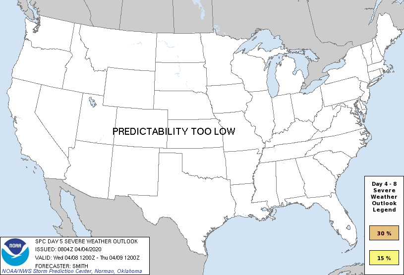
The first Saturday in April can only mean one thing and that’s the return of our weekly #AGwx and Severe Weather Outlook. Similar to last year, this will be posted each Saturday morning through the month of September.
Weekly Highlights:
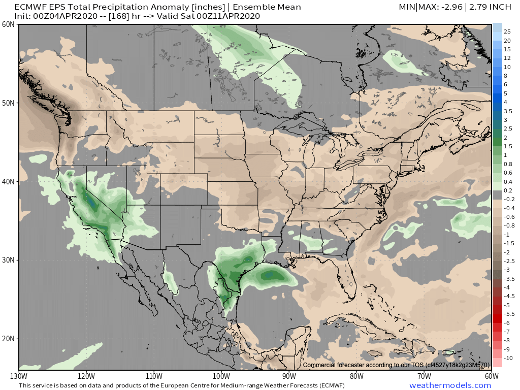
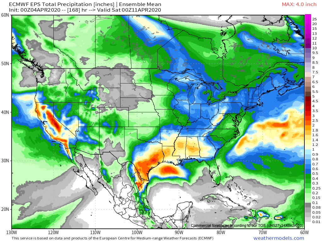
I. A strong area of low pressure will move in off the Pacific and provide heavy rain across CA, including intense mountain snow Sunday through Wednesday.
II. A strong cold front will move through the Midwest and Ohio Valley Wednesday into Thursday. This will result in a drastic change from late spring like temperatures to more winter-like by late next week.


More specific to central Indiana, we’ll have 3 weather makers to track over the upcoming week:
This afternoon- A cold front will pass through the state without much fanfare. A few showers are possible here and there, but some won’t see a drop of rain and those that do can expect only light amounts.
Tuesday through Thursday- Scattered showers and thunderstorms will impact the area during this time frame as a couple of fast moving disturbances track across the Ohio Valley. A strong cold front will cross the region Thursday with a band of rain followed by windy and much colder air to close the week and head into next weekend.
Week 2 (April 11th-18th) trends are for much colder air along with the prospects of light mixed rain/ snow showers at times. There’s the threat of a stronger system late in the Week 2 time frame that we’ll continue to monitor.
Permanent link to this article: https://indywx.com/2020/04/04/weekly-agwx-and-severe-outlook/
Apr 03
VIDEO: Gorgeous Friday; Scattered Saturday Showers And A Big Mid-Month Cold Shift…
You must be logged in to view this content. Click Here to become a member of IndyWX.com for full access. Already a member of IndyWx.com All-Access? Log-in here.
Permanent link to this article: https://indywx.com/2020/04/03/video-gorgeous-friday-scattered-saturday-showers-and-a-big-mid-month-cold-shift/
Apr 02
VIDEO: The Sun Returns; Weekend Chatter And Updated Long Range Thoughts…
You must be logged in to view this content. Click Here to become a member of IndyWX.com for full access. Already a member of IndyWx.com All-Access? Log-in here.
Permanent link to this article: https://indywx.com/2020/04/02/video-the-sun-returns-weekend-chatter-and-updated-long-range-thoughts/
Apr 01
VIDEO: Improving Conditions; Turning More Unsettled Next Week…
You must be logged in to view this content. Click Here to become a member of IndyWX.com for full access. Already a member of IndyWx.com All-Access? Log-in here.
Permanent link to this article: https://indywx.com/2020/04/01/video-improving-conditions-turning-more-unsettled-next-week/
