
Type: Heavy Rain
What: Localized flood potential
When: Friday into Saturday
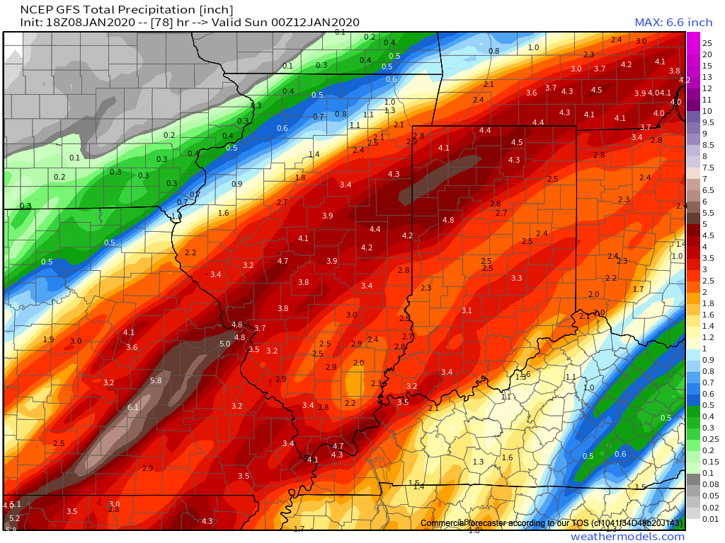
Rain Amounts: 2.5″ to 3.5″ (localized heavier totals)
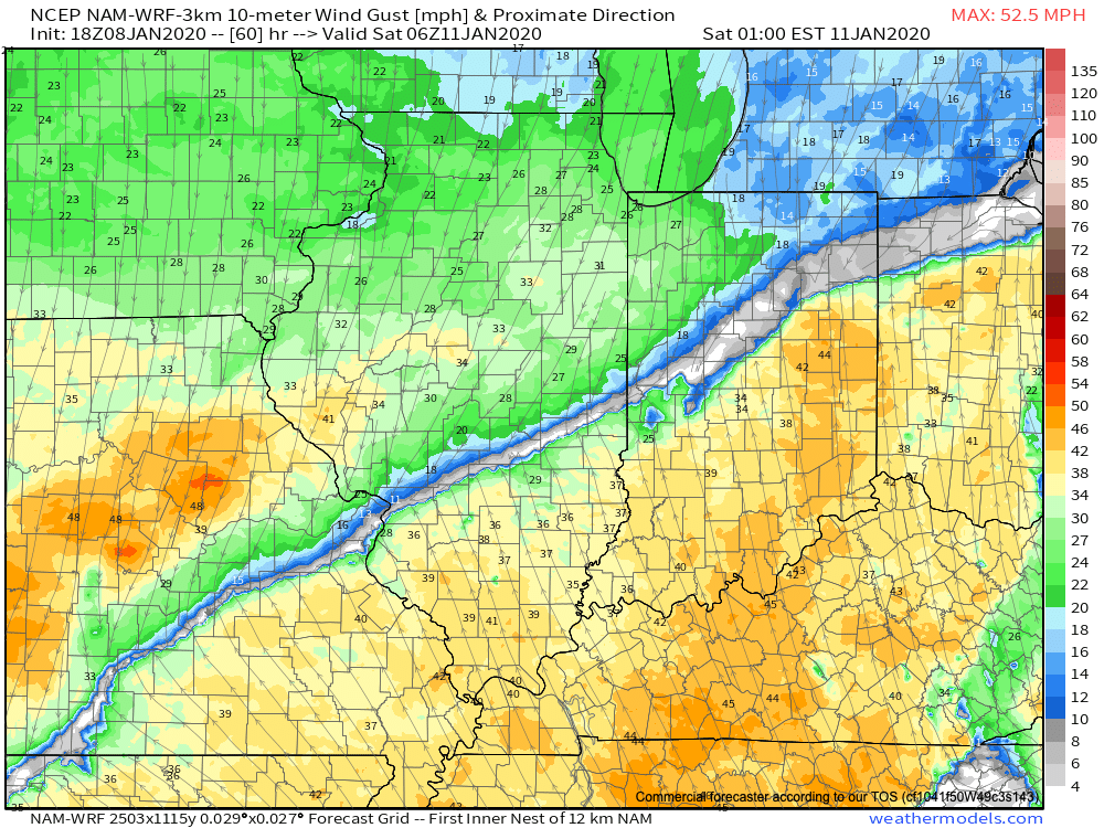
Wind: Variable 20-30 MPH with gusts to 40 MPH+
The National Weather Service has hoisted Flood Watches across central Indiana in advance of an approaching strong storm system that will present the greatest impacts, locally, in the Friday evening through Saturday morning time period.
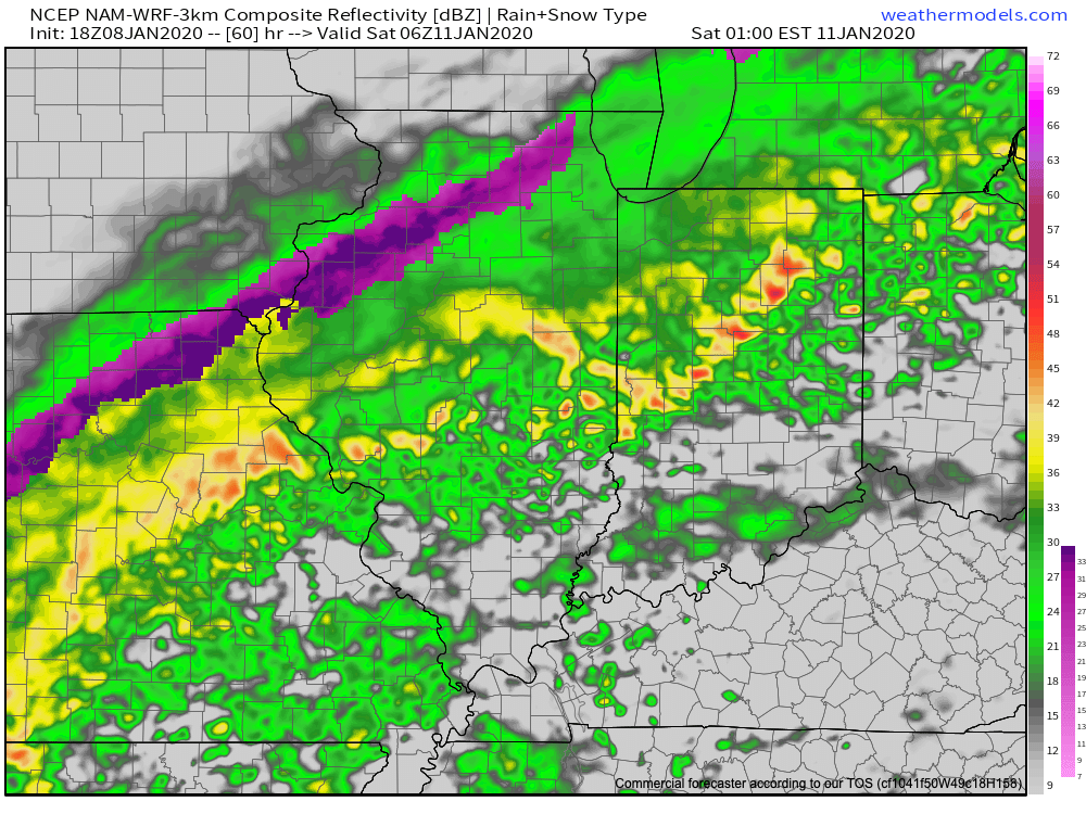
Clouds will increase through the day tomorrow (after a sunny start) and light rain will likely follow by evening. Rain will increase in overall coverage and intensity and become heavy at times across central IN Friday morning. We may see a “lull” in the heavy rain Friday evening before widespread moderate to heavy rain returns overnight into Saturday. As things stand this evening, it appears as if the heaviest rainfall amounts will fall from Indianapolis and points west (and north) and the GFS forecast storm total rainfall amounts is our preferred solution this evening- including widespread 2.5″ to 3.5″ totals (locally heavier amounts possible) with this system. Localized flooding will likely result.
Precipitation will exit off to the northeast Saturday afternoon-evening and may end as a “touch” of wet snow across central Indiana (no significant impacts expected from a wintry precipitation standpoint). If traveling north, greater impacts from wintry precipitation can be expected across northern Indiana from a combination of sleet, freezing rain, and snow.
Confidence: High
Next Update: 7a Thursday