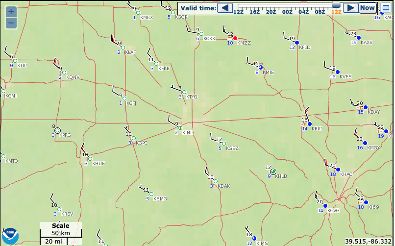
I. Number-Busting Cold: The western half of central Indiana is experiencing downright frigid conditions this morning. Skies that cleared out and combined with the fresh snow pack, along with strong cold air advection overnight now find themselves in the middle single digits! Officially at IND, the low temperature of 9° (as of the 7a hour) sets a record not only for the day, but is the earliest in the fall season that the temperature has fallen into the single digits.

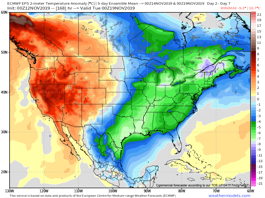
II. Cold Remains: For some perspective on the current cold, average temperatures this time of year include lows in the upper 30s and highs in the middle 50s. Safe to say we won’t be anywhere near those numbers over the next 6-7 days. Even after we pull out of the arctic intrusion over the next couple of days, temperatures will remain well below average through the weekend.

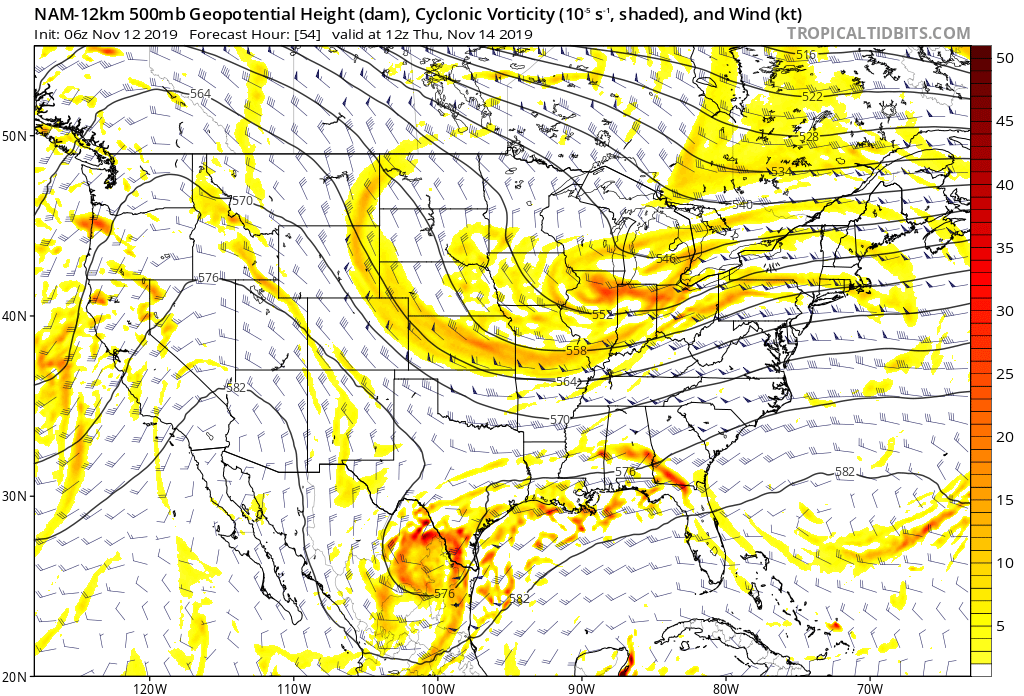
III. Fast Moving Clipper: We’ll keep close tabs on a fast moving clipper system Wednesday night into Thursday morning, but as of now, only expect scattered light snow showers across north-central Indiana Thursday morning with this system (no accumulation anticipated). After this system, we’re talking about a rather dry forecast into early next week. The next chance of precipitation (light rain) would come Monday, but the key word here is “light.”

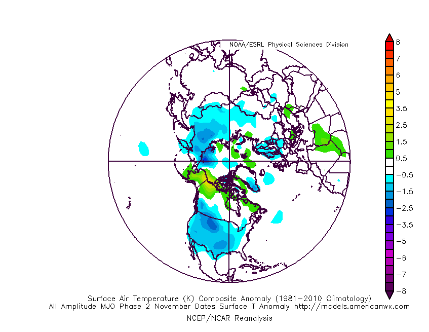
IV. Looking Ahead: We’ll have a more extensive long range update later this evening. One of the items of interest is the way modeling handles the MJO propagation. While the European isn’t nearly as amplified, the American modeling wants to take the MJO into Phase 2 towards Thanksgiving. Phase 2 this time of year would argue for widespread colder than normal conditions. Again, much more on the long range pattern a bit later.

