Type: Impactful wintry weather

What: Accumulating snow
When: Monday
Temperatures: Falling from the upper 30s into the 10s by Tuesday morning.
Wind: North shifting to the northwest with gusts of 20-25 MPH.
Blowing/ Drifting: Minimal

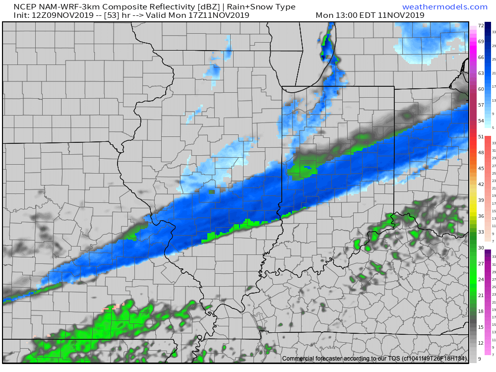
The first accumulating snow of the season (for at least most of central Indiana) awaits Monday. While this won’t be any sort of blockbuster winter storm, it’ll likely have some impacts due to the first accumulation of the season, along with plummeting temperatures Monday evening into Tuesday morning. Monday will start dry with cloudy skies and a stiff north breeze, but snow will overspread central Indiana late morning into the early afternoon. A burst of steady to moderate snow is possible into the early afternoon hours. Temperatures will crash from the upper 30s just after daybreak into the upper 20s by the evening rush. Snow will begin to diminish from north to south around 5p to 6p. Please note, the above “1st call” doesn’t include the additional lake effect snow that will follow for the northern IN snow belt. While heavy snow isn’t expected, local slick spots will develop on untreated surfaces as temperatures continue to plummet into the 10s during the overnight period.
Confidence: Medium
Next Update: Late Saturday night or early Sunday morning
