
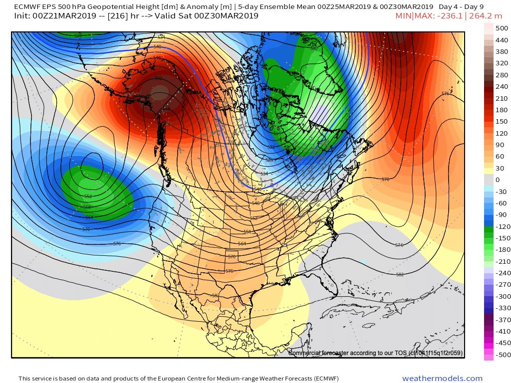
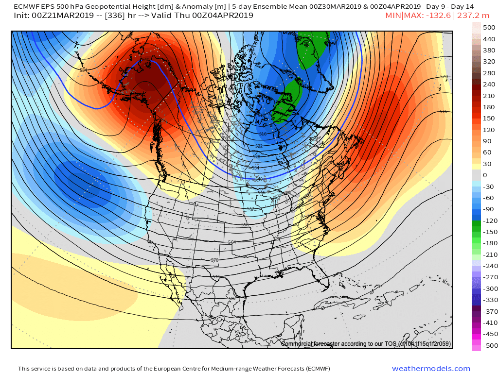
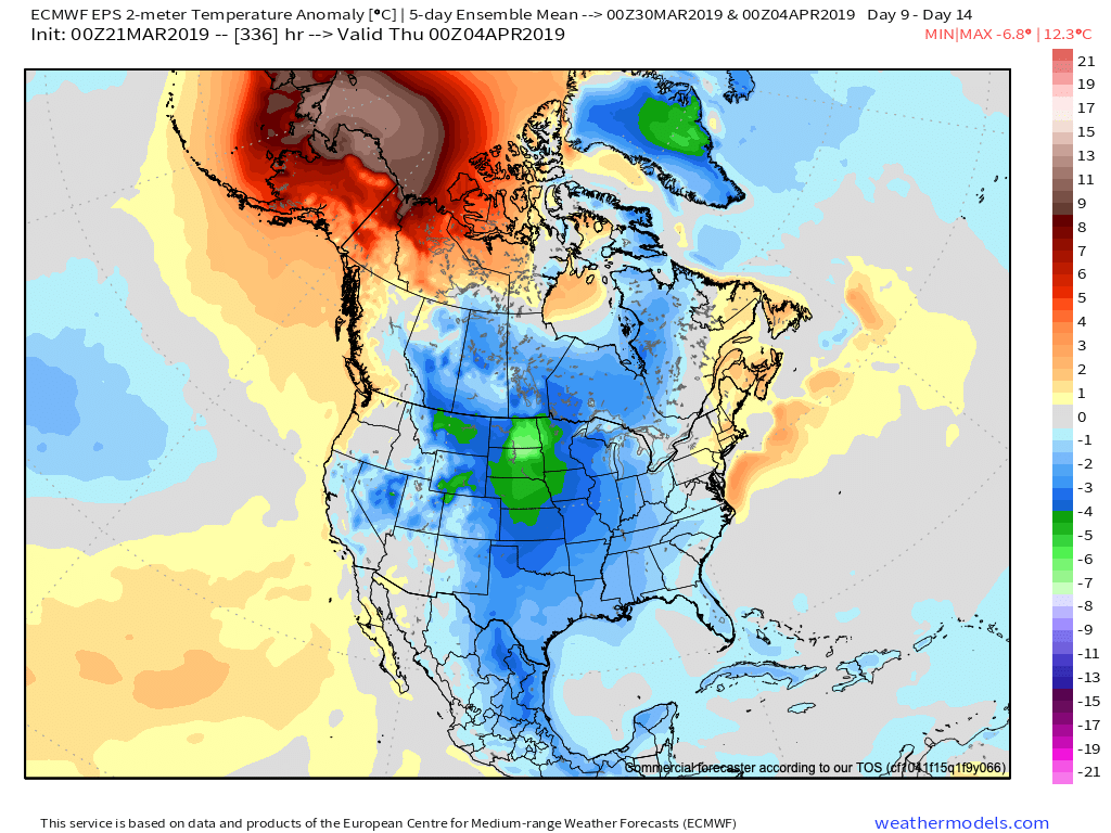
As we look ahead, a persistent western Canada/ Alaska ridge continues to show up on the medium to long range data. The downstream implications are for cooler than normal temperatures, overall, across the eastern and central portions of the country into early April.
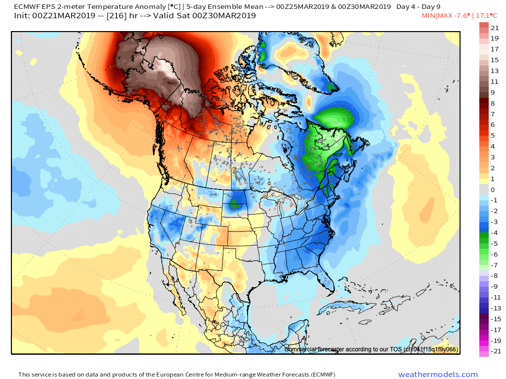
Given the time of the year (and pattern), cool won’t rule the entire period. It’s just that the cold will “out do” the transient warmth in between storm systems over the next couple of weeks.
When we look at the teleconnections (combo of negative EPO and neutral to slightly positive PNA is ruling the day for now), they support the lingering chill into early-April.


However, as we turn the page from early-April to mid-April, the idea here is that an eastern ridge will begin to expand west with more “umph” and eventually lead to warmth overwhelming the pattern. We aren’t budging from the original idea of a warmer than normal April by month’s end. It sure appears as if the NEW JMA Weeklies are catching onto this idea.

From a precipitation perspective, the majority of medium and long range model data does show a return of wetter times (relative to normal) as we move into April, including an active storm track. The beginning of this overall shift in the pattern back towards wetter than normal conditions will begin early next week.


We’ll recap our latest short-term thinking, including an update on the NEW European Weeklies that will arrive this evening later tonight in a video update.
In the meantime, make it a fantastic Thursday- and happy tip off to March Madness!