
The 6-10 day period will likely be dominated by an air mass of arctic origin, and the potential is present for the period to begin with a rather significant winter event. Models have occasionally “teased” the idea of dropping the PV (Polar Vortex) over the Great Lakes during this period, and that’s not something that’s off the table given the pattern here. Suffice it to say, we expect this period to run much colder than average.
While there will be some specifics we’ll have to sort through as time gets closer, this is remarkable model agreement when looking at the GFS and European ensemble sets in the medium term.
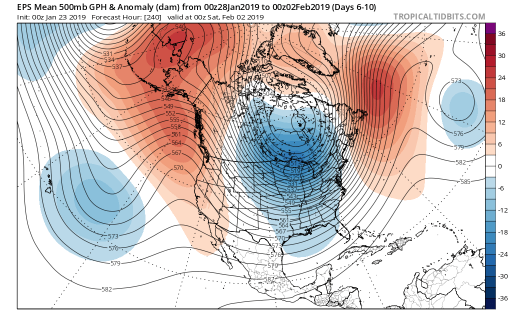
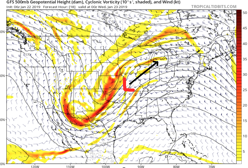
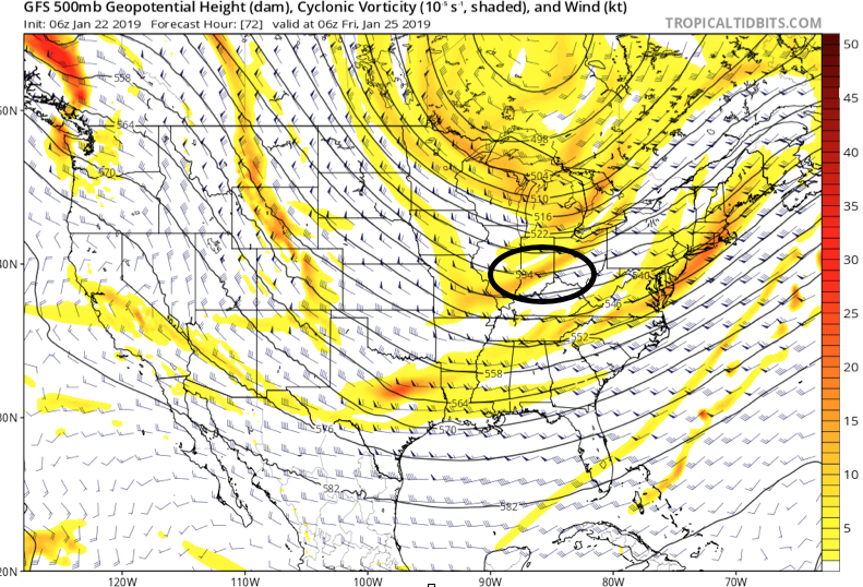
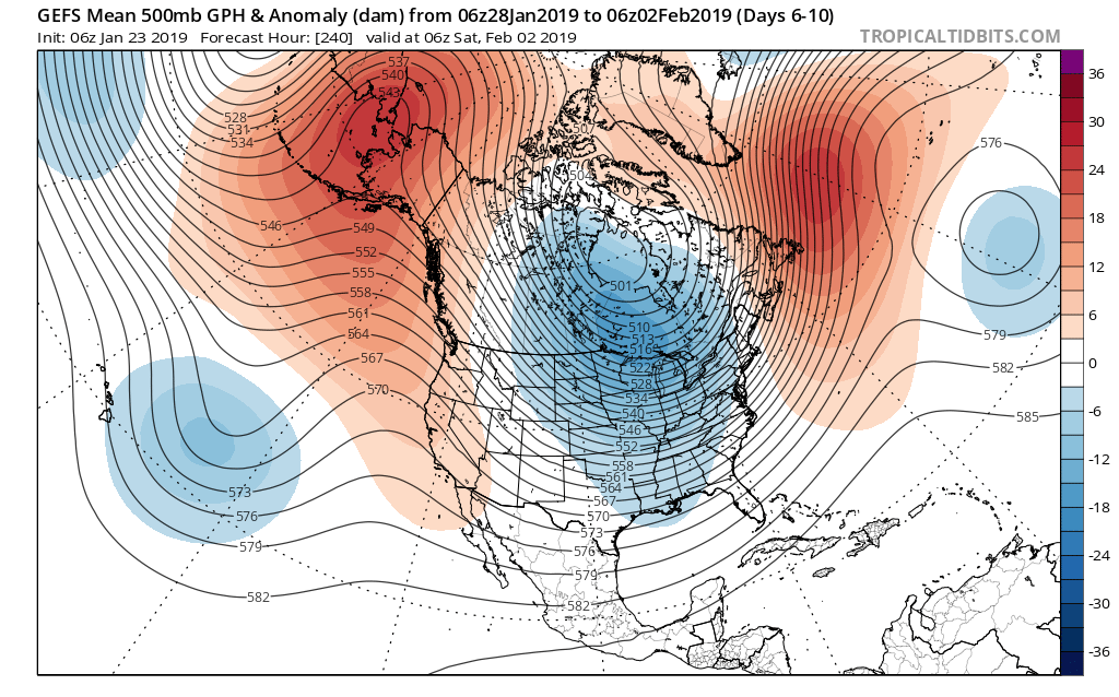 We’ve been discussing the opportunity where we see the flow slow enough to allow one or two of these clipper systems in the medium to longer range to deepen into a stronger storm system. That may be the case late weekend into early parts of next week and it’s something we’re keeping a close eye on. In addition to measurable snow, the potential is on the table for notable cold in the 6-10 day period, including multiple days below zero. In the extreme, this is the type pattern that could lead to double digit below zero cold across central Indiana- not including the wind chill.
Stay tuned.
 This will not only lead to a briefly milder period (and by brief, we mean BRIEF) late tonight into early Wednesday, but will also deliver a round of rain. While we’ll rise into the 30s later this evening, temperatures will continue to rise during the overnight- potentially into the lower 40s ahead of the cold front. Drizzle (perhaps freezing drizzle at the onset) will move in later this evening, but the heavier rain will hold off until after midnight. Periods of moderate rain can be expected between 2a and 8a Wednesday.
 Widespread 0.50″ to 0.75″ can be expected across central Indiana.
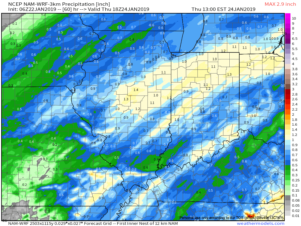 The cold front will sweep through the state during the day Wednesday and temperatures will begin to fall once again Wednesday afternoon. A brief period of light snow is possible as the precipitation shield departs Wednesday afternoon, but this isn’t expected to be a big deal. We should be back below freezing around 5p to 6p Wednesday.
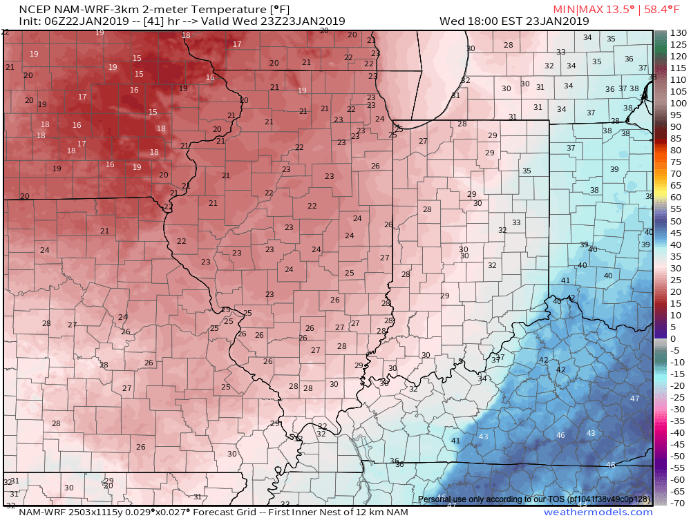
 A couple additional disturbances are likely ahead of a reinforcing plunge of arctic air early next week. The system Saturday evening into early Sunday looks strongest at this time and will be capable of depositing a more widespread light accumulating snow across the region.
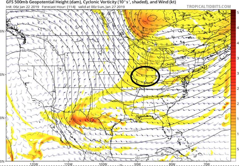 Yet another arctic intrusion is set to invade before we put a wrap on January. This will likely also be accompanied by additional opportunities of accumulating snow early next week.