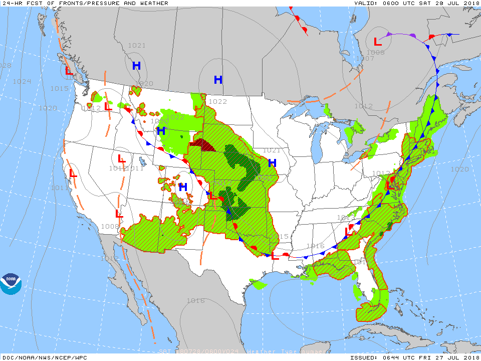
A cold front blew through the state Thursday evening and much cooler, drier air is greeting us out the door this morning. In general, temperatures are running 5° to 10° below average across the state. Highs today won’t make it out of the 70s and high pressure will remain in control of our weather, providing dry conditions, through Saturday.
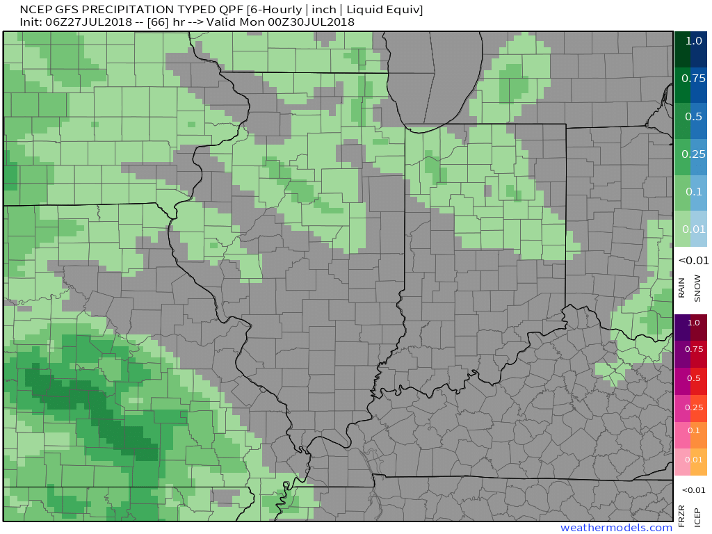
 Changes begin to take place as we move into the second half of the weekend as a storm system organizes to our west. I still think most of the day will be rain-free, but we’ll notice increasing cloudiness and will mention the potential of a scattered, light shower.
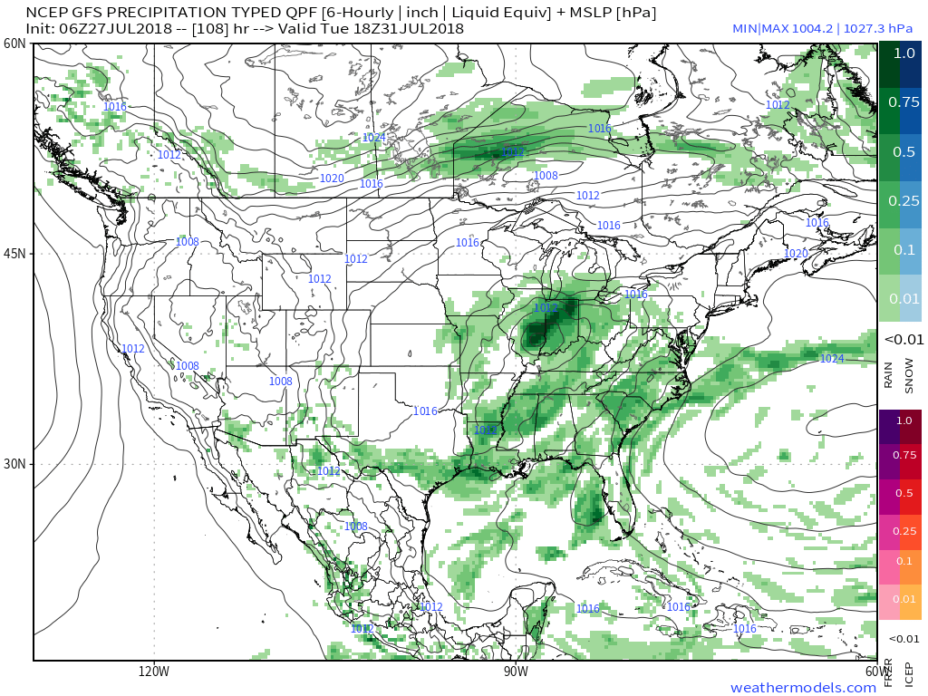
 This is only an “appetizer” to the main course which will arrive late Monday into Tuesday. Tuesday continues to look like a wash out across the region with the potential of locally heavy rain, as well. The culprit? A surface area of low pressure and associated front that will move through the state.
 In addition to the expected Tuesday soaker, unseasonably cool temperatures will remain. In fact, most of the day on Tuesday should be spent in the 60s…
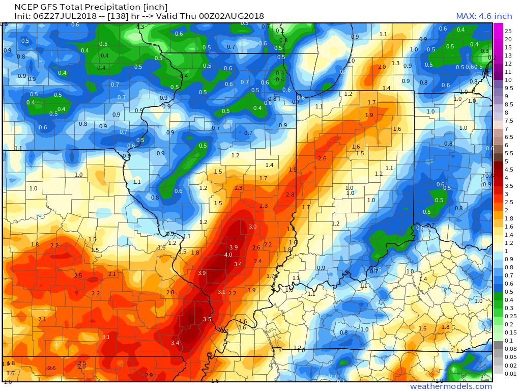
Rainfall coverage and intensity will begin to diminish Wednesday and drier air should arrive Thursday. By that point, we expect widespread rainfall totals to check-in between 1″ and 2″ with locally heavier amounts.

