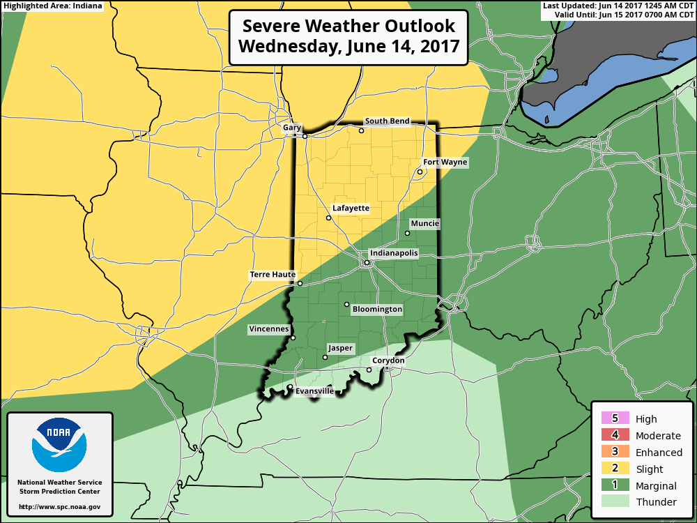
The Storm Prediction Center includes the northwestern portions of the state in a Slight Risk of severe weather later this afternoon and evening. Given the overall set-up and morning trends from data, it wouldn’t surprise us if this threat expands further southeast in future updates later today from the SPC.
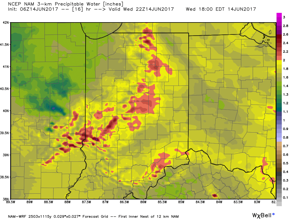
 Similar to Tuesday, any storms that develop will be capable of locally heavy rain and flash flooding. While storms should move in a quicker fashion today, precipitable water values (PWATs) remain downright tropical and will exceed 2″ later this afternoon.
 Overall storm coverage should become more widespread as we push into the afternoon and evening hours. Here’s what the radar may look like during the 4p, 6p, and 10p time frames:
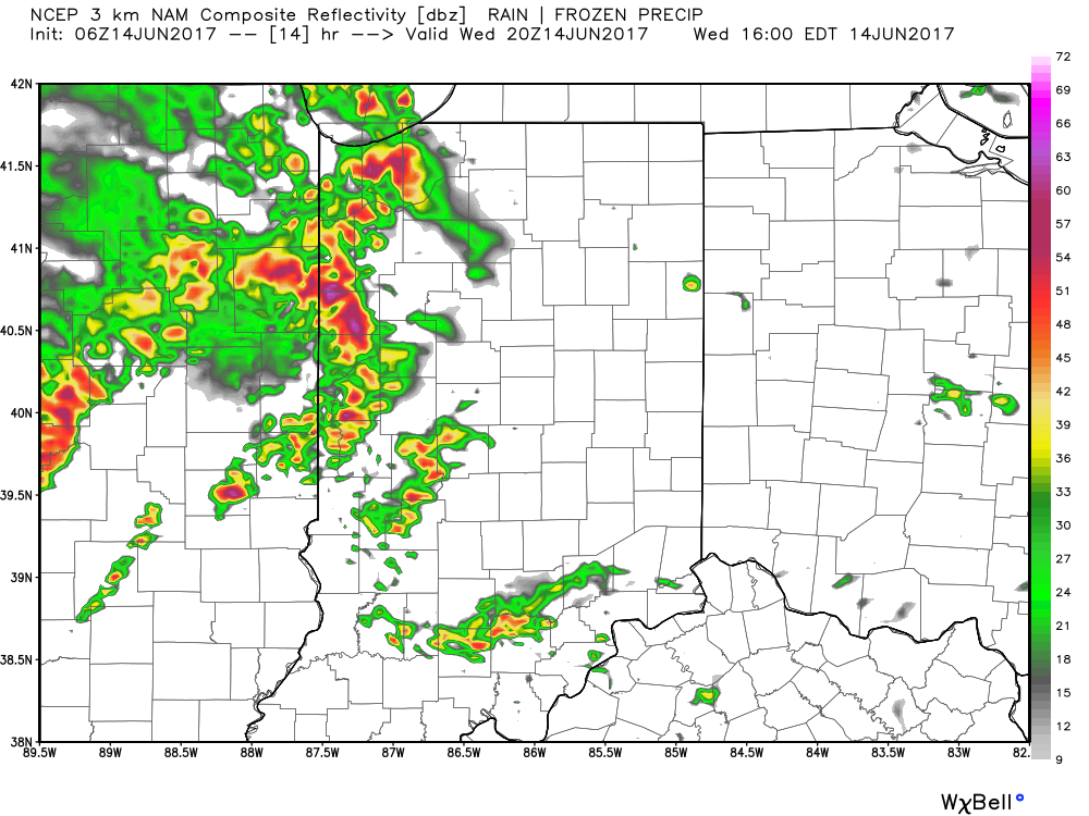
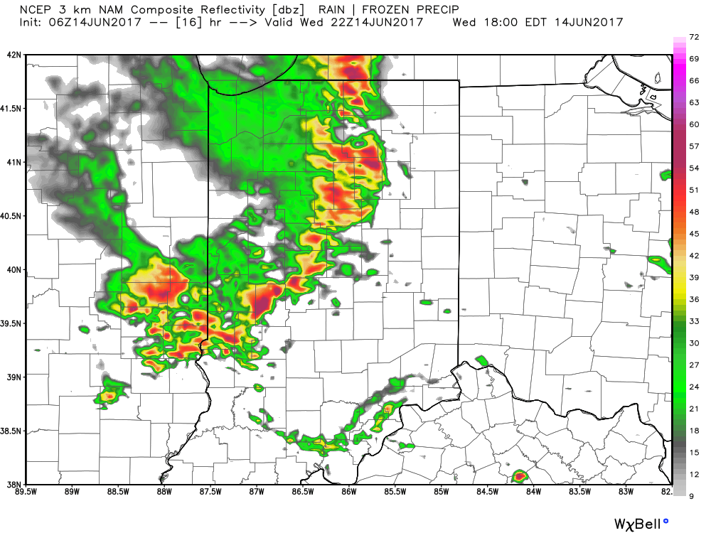
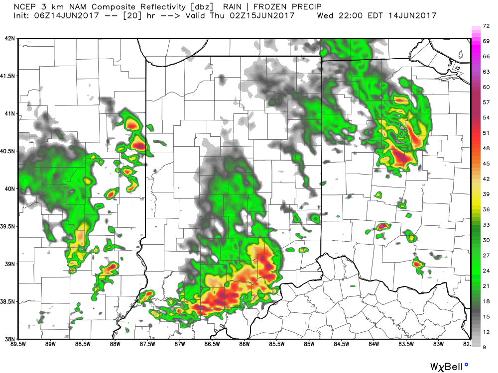 From a severe perspective, the biggest concern is damaging straight line winds with stronger storms. Remain weather-aware later today, friends!
