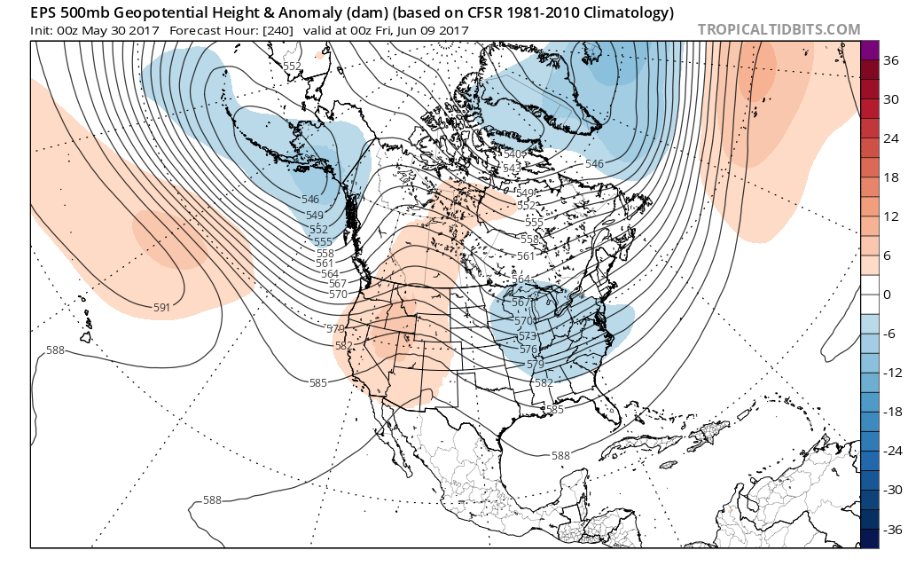
The region will remain in a challenging northwest flow for the balance of the upcoming 10-14 day period. This can play havoc with forecast models, particularly from a timing standpoint. In short, expect a continuation of active weather, including wetter and cooler than normal conditions.
Another weak disturbance will kick up a few scattered showers and potentially an embedded thunderstorm tonight. Similar to Monday, this will come after a gorgeous day.
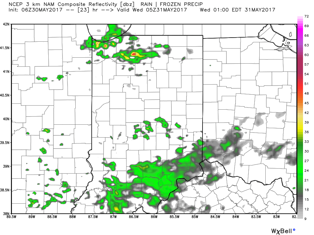
Forecast radar at 1a Wednesday shows scattered showers still impacting portions of the state:
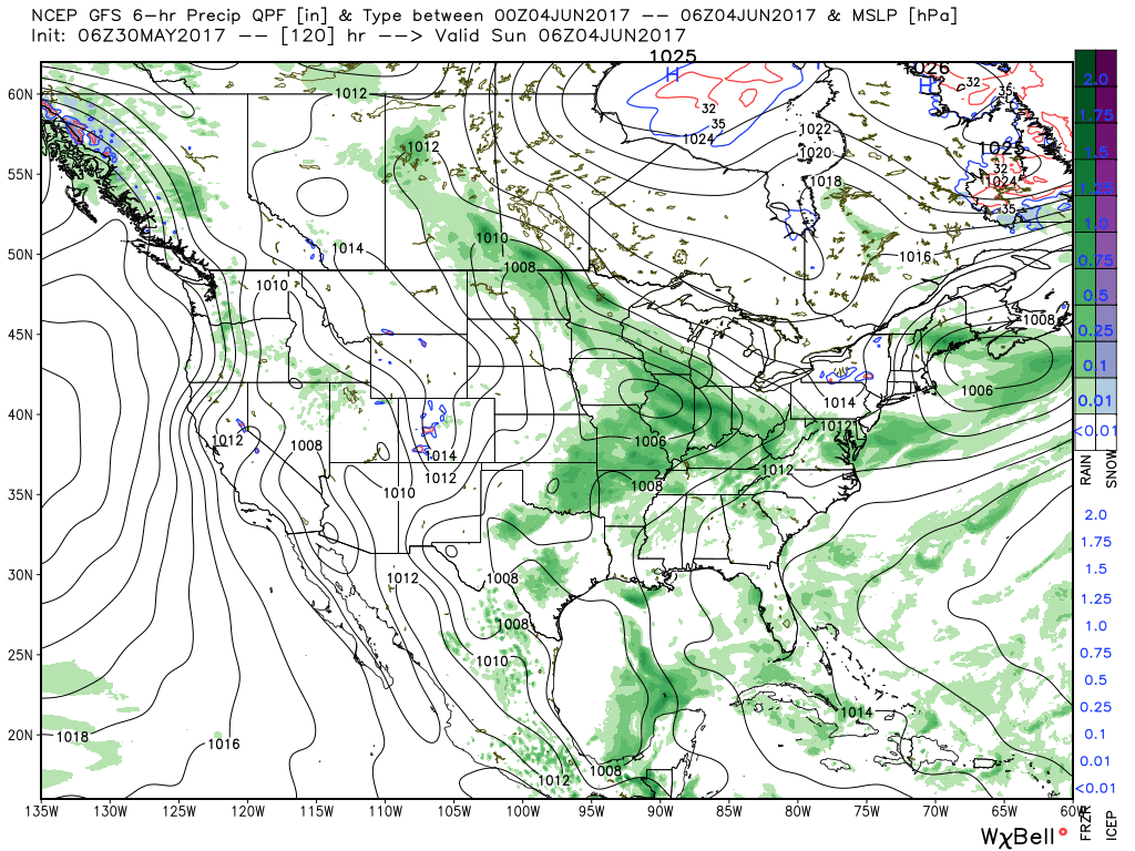
 The majority of our midweek stretch looks rain-free, but more widespread showers and thunderstorms will return as we push into the weekend. Recent trends have also slowed the FROPA (frontal passage) down significantly- now perhaps not until late Sunday.
 There will be dry time this weekend, but with a moisture laden air mass in place, locally heavy downpours can be expected, including rainfall potential of 1″+ this weekend for neighborhoods that get under a heavier storm.
Longer-term, modeling continues to suggest a cooler than normal pattern persists as we push through the first half of June.
 In fact, there may be a couple of days early next week where highs struggle to reach 70° with lows in the upper 40s to lower 50s. Very refreshing, indeed, for early June.
