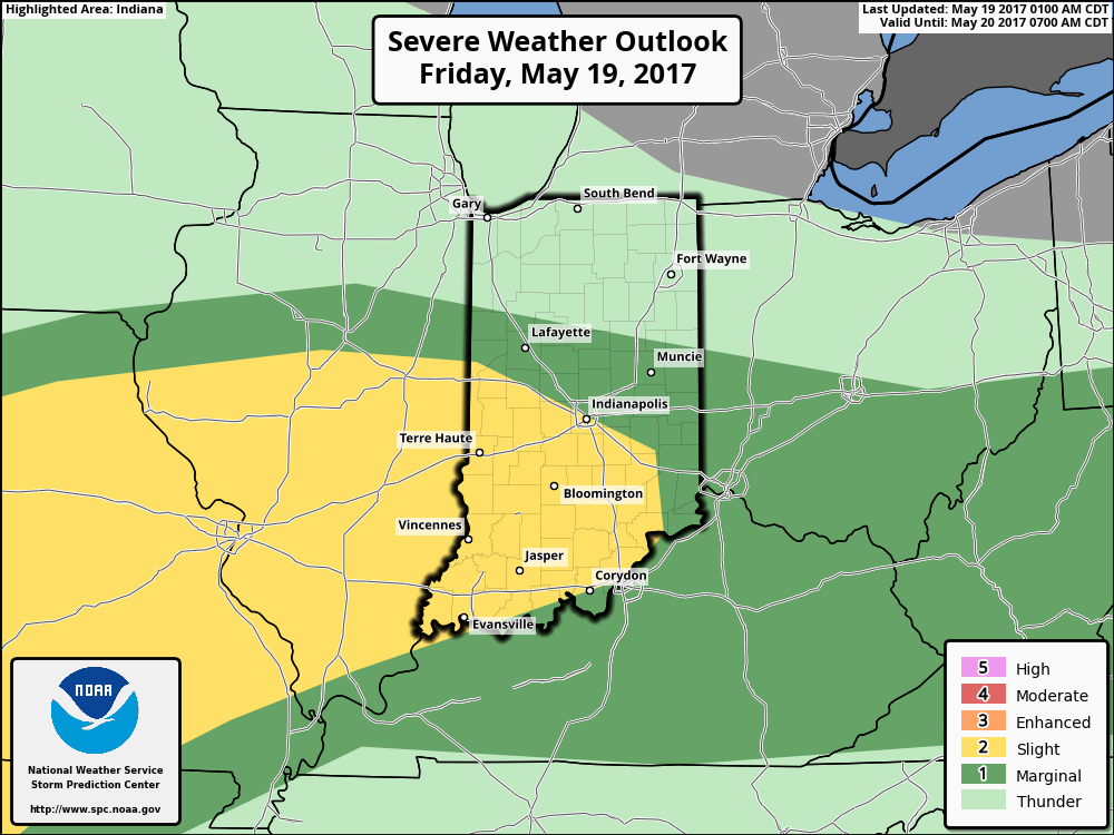
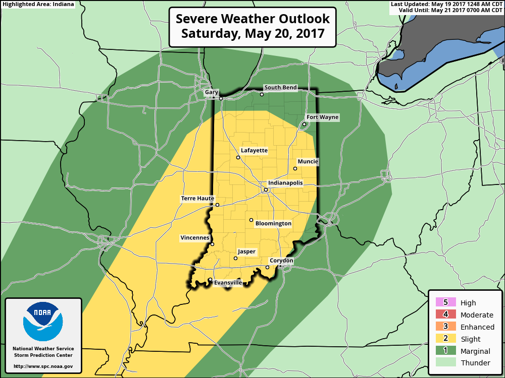
The Storm Prediction Center includes portions of the state, including Indianapolis, under a Slight Risk of severe weather today and Saturday.

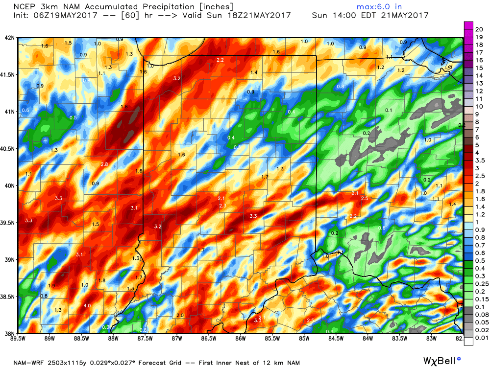
 The culprit is a stalled frontal boundary that lies across the center of the state. This front will “bobble” around from time to time over the next 24 hours before lifting back north as a warm front Saturday evening. Accordingly, expect a significant temperature spread from north to south today and periods of showers and thunderstorms scattered about central Indiana. With high precipitable water values, localized heavy rains are expected, but, as mentioned, this won’t be a “uniform” event and there will be “haves and have nots.” Some neighborhoods can expect to pick up a 2-3 inches of rain between now and Sunday afternoon. Greatest severe threats include large hail and damaging straight line winds with storms, but we’ll also have to monitor things for the potential of a couple rotating storms as well.

