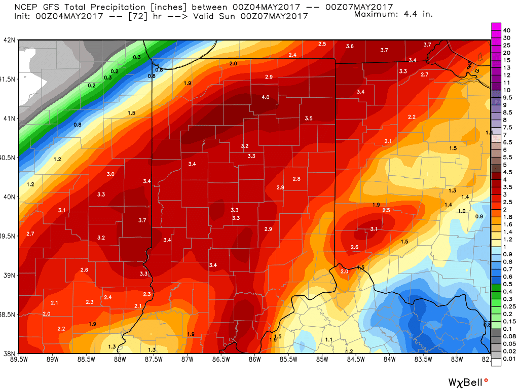
Unfortunately, we don’t have any changes to our ongoing forecast. Widespread rain will continue through Friday, occasionally heavy. By the time all is said and done, many local rain gauges will check in between 3″-4″. Lets break it down:
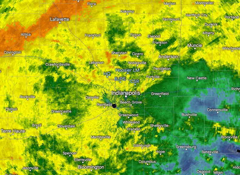
This morning’s radar shows rain intensifying across central and western portions of the state this morning, especially west of I-65.

7:30a radar snap shot.
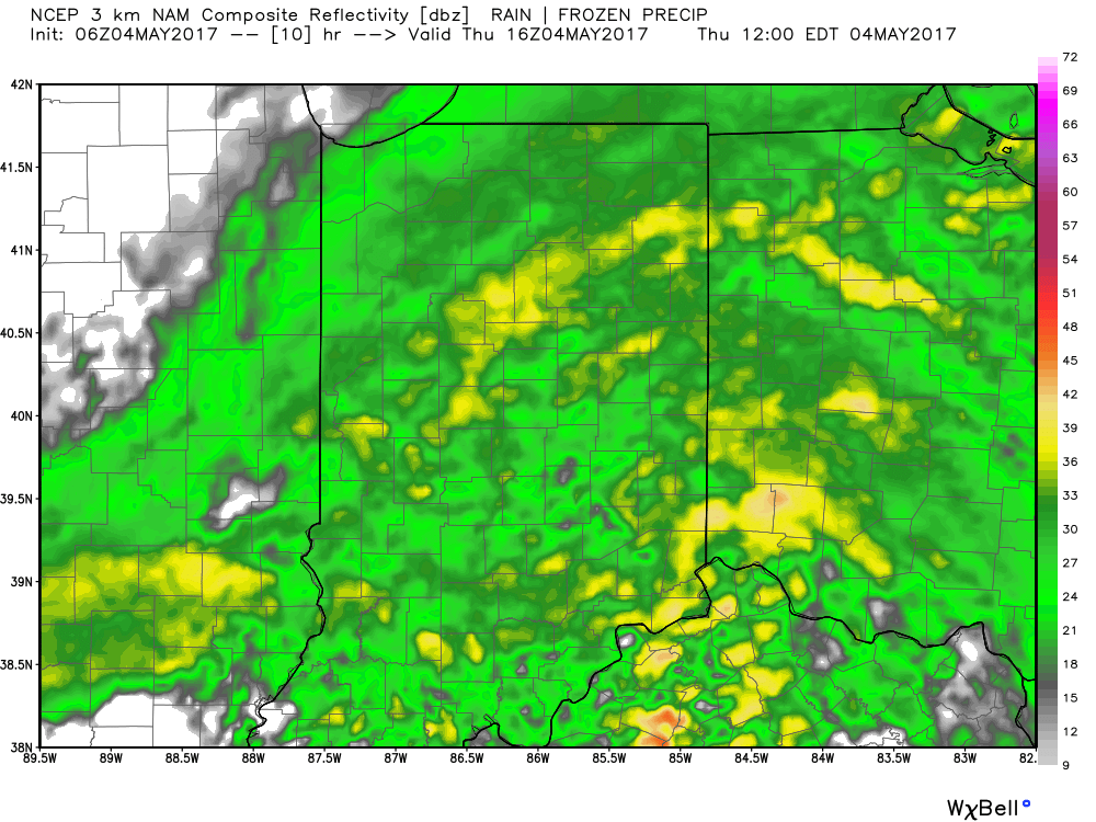
Plan on steady rains to continue today, periodically heavy. If you live near a body of water, remain aware of current water levels. Significant rises will begin to take place this afternoon as the periodically heavy rains add up.

12p forecast radar.
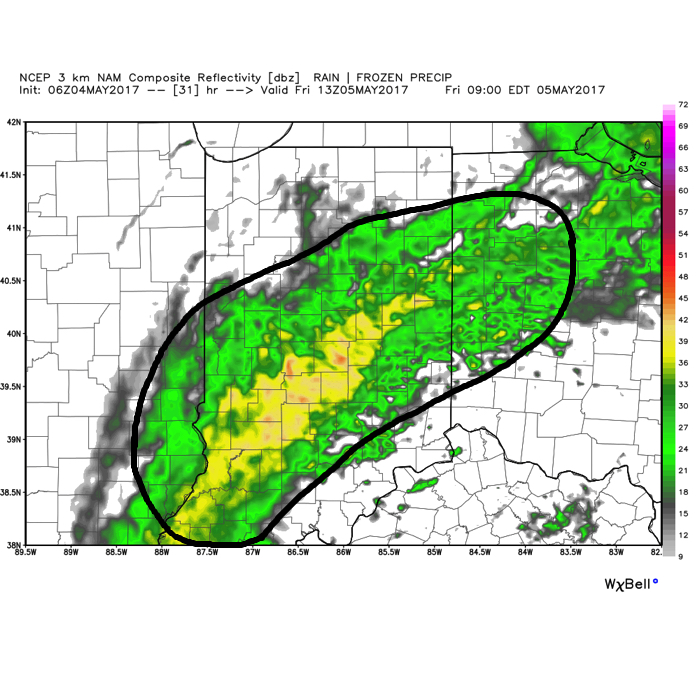
Widespread rain will continue overnight into Friday morning. As low pressure slowly tracks northeast, we think a “deformation zone” will set-up shop across central Indiana Friday. Within this large band of rain, multiple intense rain bands will pivot through central Indiana. Flood concerns will remain high through Friday.
 We should finally get into drier air Friday night before one last round of showers pushes southeast across the state Saturday morning. As of this update, we bracket the 4a-10a timeframe for renewed wet weather. By Saturday afternoon, drier air should win out and result in a much more favorable forecast Saturday night into Sunday.
By the time all is said and done, widespread 3″-4″ storm totals are expected, and will most certainly lead to flooding. Even localized 4″+ amounts can be expected within areas where the heaviest rain bands persist.
 In closing, as drier air begins to arrive on the scene Saturday evening, much cooler conditions will result in areas of frost into early next week. Lows in the lower to middle 30s will be common Sunday and Monday mornings across central Indiana.
