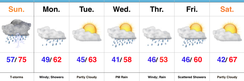
For the purpose of this post, we’ll focus on our next storm system that, at the very least, promises to deal more wet weather to central Indiana come Wednesday night into Friday. Additionally, this will be a much cooler storm with temperatures struggling to get out of the 40s during the day Thursday, as gusty easterly winds reach 30+ MPH. At the extreme, this could be another event that deposits widespread 2″+ rainfall totals across central Indiana…
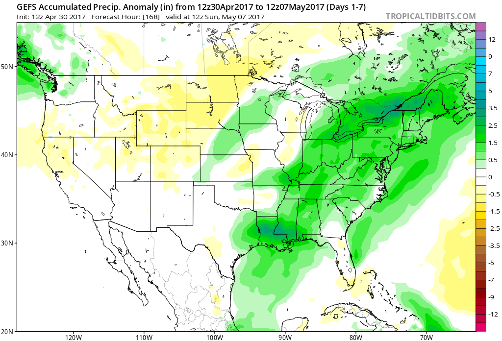
The latest 7-day precipitation anomaly off this afternoon’s GEFS shows the wet pattern that will remain intact over the upcoming (7) day period.
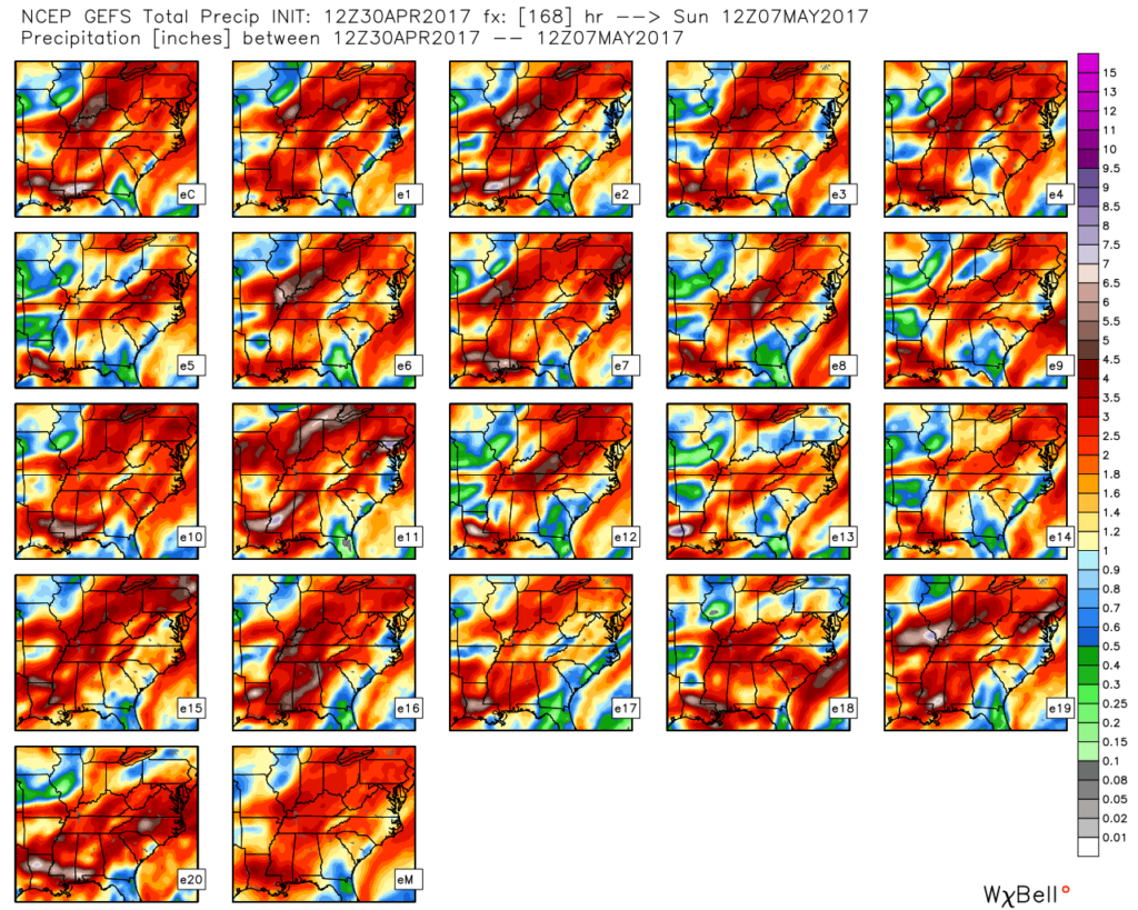
 The individual GFS ensemble members are truly concerning, especially given just how wet we currently are. We note some members suggest additional 3″-4″ totals- with over 50% of that coming from our midweek storm.
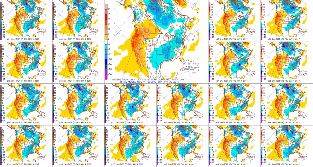
 We’ll keep a close eye on model data over the next couple of days, but as of now, we suggest planning for additional hefty rain totals in the Wednesday night through Friday time frame. Also of interest will be the extreme cool associated with this storm. As previously mentioned, the majority of the day Thursday will be spent in the 40s (more like early-March than early-May). Factor in a gusty easterly breeze and we’ll have the makings for a truly “raw” weather day across the region.


 Highlights: