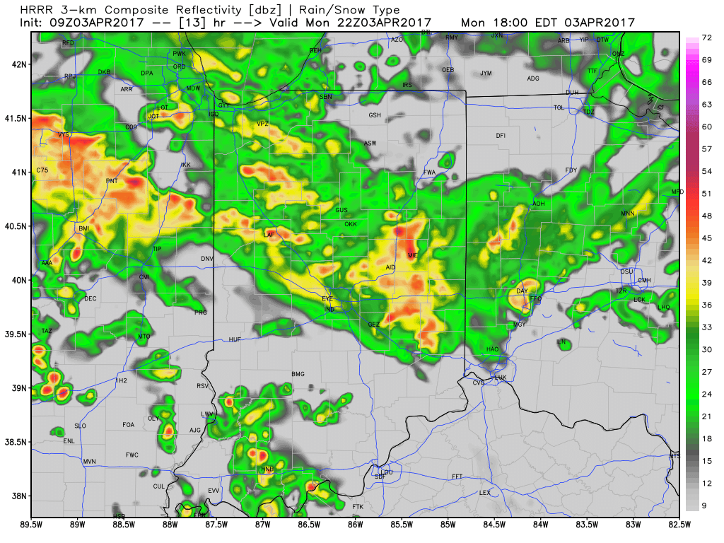
1.) Showers moved through the region early this morning and we’ll go through several dry hours before dealing with our next round of rain and thunderstorms by evening. Most widespread coverage of showers and thunderstorms appears to come in the 5p-7p range.
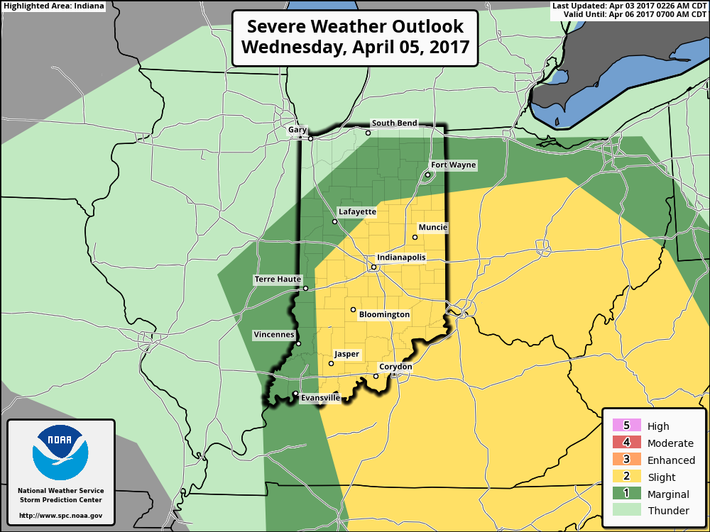
 2.) We’ll get a breather on Tuesday, but our next storm system will move in quickly and begin impacting central Indiana during the day Wednesday. A couple strong to severe thunderstorms are possible Wednesday and will require our attention over the next day, or so. We’ll have more details with our updated 7-day later today.
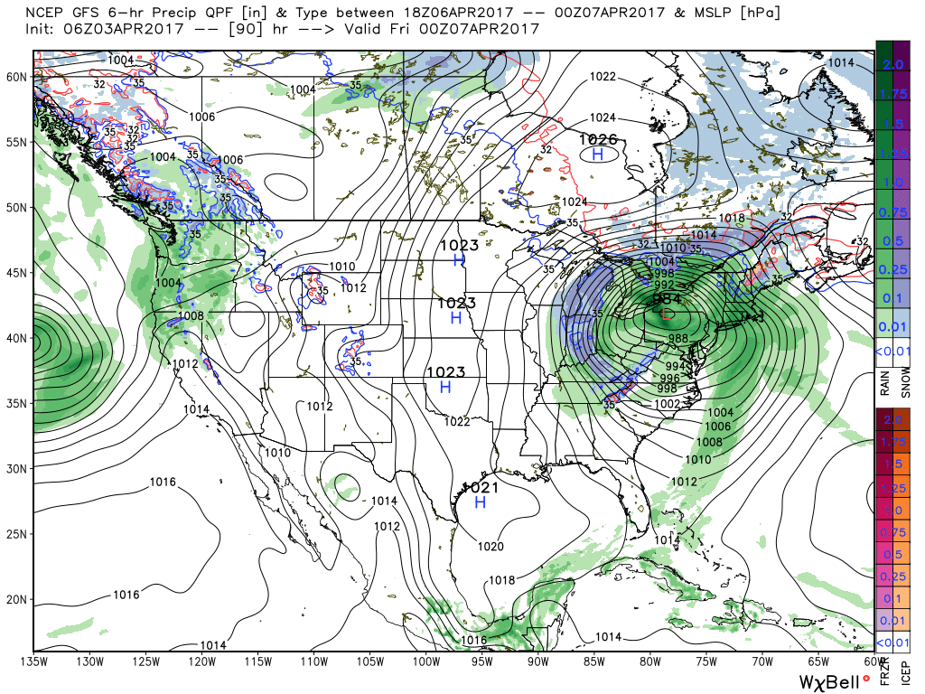
 3.) We’ll get into the colder side of the storm to close the work week and thoughts will shift from storms to snow. Wind-whipped snow showers will be a good bet in the unseasonably cold air Thursday into Friday morning.
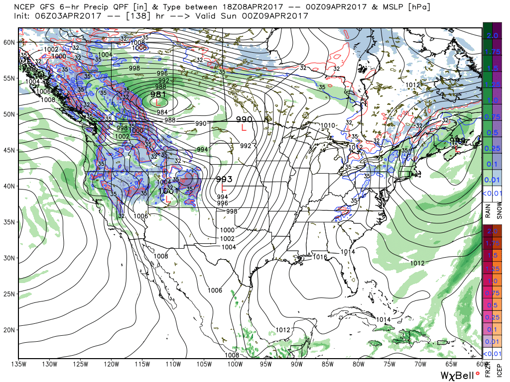
 4.) Timing will once again be our friend as we push into the weekend. Weak high pressure will arrive on the scene and help ensure dry conditions. After a cold start Saturday, a moderating trend will develop.

