A rather pleasant, benign week of weather will transition to a rude feel by the weekend.
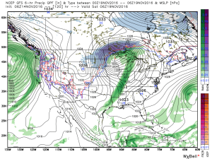
A cold front will sweep through the state Saturday morning and will help the season’s first blast of true, winter-like air plunge southward over the weekend, into early next week. Ahead of the cold front, a band of showers and perhaps a clap of thunder will track east. As of now, rainfall totals don’t look particularly impressive (0.10″-0.25″).

Shower chances will increase Friday evening. Courtesy of weatherbell.com
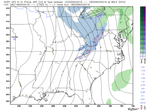
Ahead of the front, winds will gust out of the southwest Thursday afternoon and Friday (in the 30-40 MPH range), but will shift around to the northwest Saturday (same 30-40 MPH potential) and drive a much colder air mass southeast. Temperatures will fall through the day Saturday and temperatures will grow cold enough Saturday evening into Sunday to allow “backlash” moisture to fall as scattered snow showers and snow flurries. Further north, in the snowbelt regions, heavier lake-generated snow bands and squalls will develop over the second half of the weekend.

The season’s first true lake effect snow outbreak will occur this weekend. Courtesy of weatherbell.com
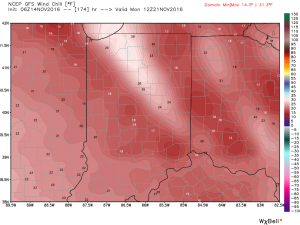
Wind chills will fall into the teens Sunday night into Monday morning.

Longer term, data continues to suggest we continue to transition, overall, towards a colder and stormy pattern in the targeted Thanksgiving to Christmas period. More on that later this week…
