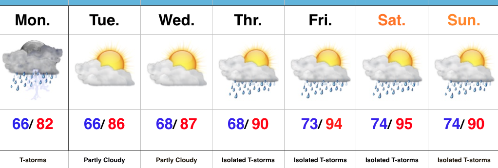
The pattern remains in a transient state. An upper ridge will build over the region late week into the weekend. With this will come the hottest air of the season (multiple days of lower to middle 90s starting Friday, continuing into early next week). The hottest days appear slated for Friday and Saturday. Heat indices will approach 105 degrees.
However, just as fast as the ridge builds over the area, we see the “want” to position itself over the Rocky Mountain region.
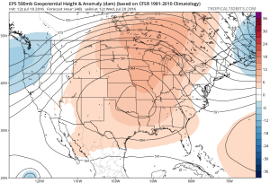
Hot dome will provide a couple days of highs in the middle 90s Friday-Saturday. Image courtesy of Tropicaltidbits
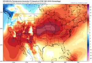
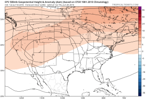
Note the difference of the ridge position by Day 10. Courtesy of Tropicaltidbits
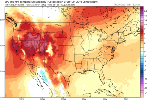 While some oppressive heat and humidity will impact our local area to wrap up the work week and head into the weekend, this is a pattern where it’s incredibly difficult to deal with any sort of one particular weather pattern for any time of substance. Looking forward to August, we don’t see this changing. Remember that word we leaned on to begin summer? “Transient” remains the best way to describe the pattern moving forward, as well.
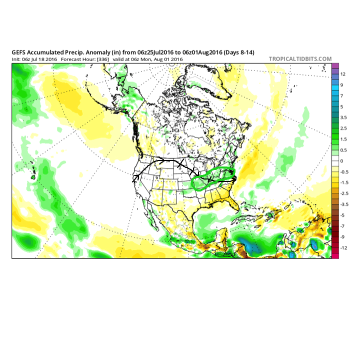
Additionally, this is a pattern that should result in a return of wet and active times as we put a wrap on July and welcome August. It’s impossible to nail down the precise details of any one particular neighborhood’s rainfall numbers from this distance, but understand the pattern is one that should yield more locally hefty rains in the weeks ahead.
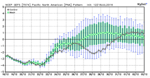
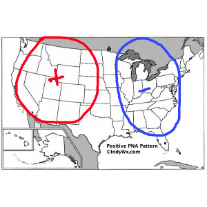
 To close, we’ll leave you with a look at the latest PNA pattern. This has been the primary driver of our weather this summer, and it also argues any sort of dry, hot weather doesn’t last. Note the positive PNA returning to close July. This also lines up well with our idea of unsettled times returning…
