Through the first half of May, temperatures are running more than 2 degrees below average at IND. We’re in the middle of a rather large area of below normal temperatures from the SW into the NE region.
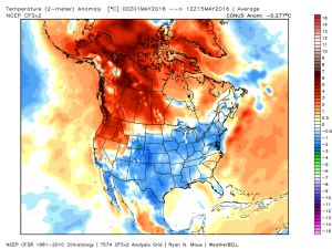 We’ll remain below average through the upcoming week, but temperatures will begin to moderate over the weekend into next week.
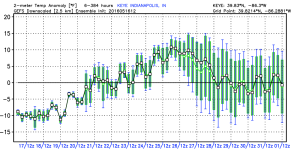 In general, we agree with the temperature anomalies above, courtesy of the GEFS. As noted, the cool start to the period will moderate and turn warmer next week. Unfortunately, that warmer trend won’t last and it’s likely we trend cooler around the Memorial Day weekend.
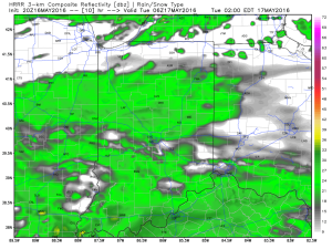
In the shorter range, light rain will spread into central IN late tonight into Tuesday. Rainfall amounts won’t be significant, and should be generally around 0.25″, or less.
 Drier air is still expected for mid week, as high pressure builds into the region. Needed sunshine and pleasant conditions can be expected.
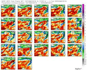
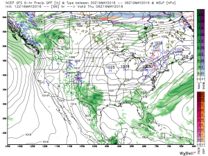 As we look forward to the weekend, modeling is still at odds with one another. The European remains consistent on the idea of heavy rain while the GFS remains consistent on a drier solution (rain, but much lighter amounts). That said, we note the consensus of the GFS ensemble members is more aggressive and reflects the idea of the European. We’ll remain firm on the idea of potentially heavy rain building in Friday into Saturday.
