|
Easter
|
Mon.
|
Tue.
|
Wed.
|
Thr.
|
Fri.
|
Sat.
|
|

|

|

|

|

|

|

|
|
43/ 72
|
50/ 74
|
42/ 59
|
35/ 58
|
43/ 68
|
53/ 74
|
54/ 69
|
|
– – –
|
Light
|
Light
|
– – –
|
– – –
|
Light
|
Light
|
Custom IndyWx.com Forecast Updated 04.19.14 @ 10:11p
Our beautiful weekend will continue for Easter Sunday, thanks to high pressure. Another cool start will warm nicely under a mostly sunny to partly cloudy sky.
The next weather maker to impact central Indiana will arrive late Monday evening into early Tuesday. A cold front will swing through the area and be responsible for scattered showers. Most of Monday will be rain-free, but rain chances will be on the increase Monday night through Tuesday morning. All-in-all, this won’t be a big rain event with most neighborhoods only accumulating a tenth to quarter inch of rain as the front swings through.
Cooler air will build into the region through mid week as dry conditions return.
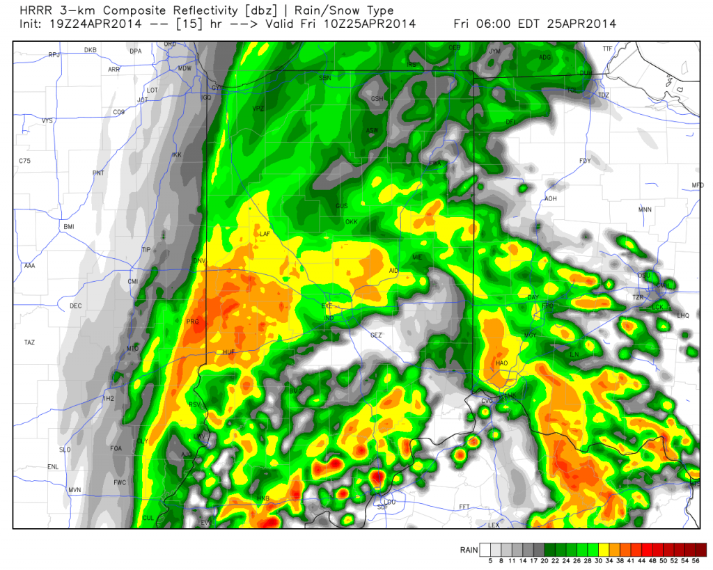
Our next weather maker is still slated for a weekend arrival, including the threat of thunderstorms Friday and showers Saturday. We’ll fine tune details around timing as we move forward, but a potentially much cooler air mass may settle into the region Saturday night into next Sunday.
Upcoming 7-Day Precipitation Forecast:
- 7-Day Rainfall Forecast: 0.50″ – 0.75″
- 7-Day Snowfall Forecast: 0.00″
 Keep Up With IndyWx.com On The Go! Follow Us On Twitter @indywx or become a Friend of ours on Facebook- IndyWx.com


