We continue to monitor the goings on for the weekend closely. As of now we still think snow is the dominant form of precipitation across central Indiana and likely comes in “waves” of intensity from late Saturday night into Monday morning. Significant snowfall totals are possible, but it’s still too early to pin point totals due to the chance of some mixing issues (sleet, freezing rain) for some and the overall placement of the cold front. This will be a bit different than what we’ve experienced with our last couple of winter storms and could be more of a prolonged event as warmer moist air overruns the cold air at the surface. Again, exactly where the arctic boundary stalls Saturday night into Sunday will determine the precise precipitation types and exactly who sees snow versus sleet and freezing rain. Stay tuned.
In other news…if you thought it’s been a cold winter then you’d be correct. In fact, this “cool” image from IEM shows that central Indiana has been at 32 degrees, or lower, between 60-70% of the time since December 1st. Impressive, for sure!
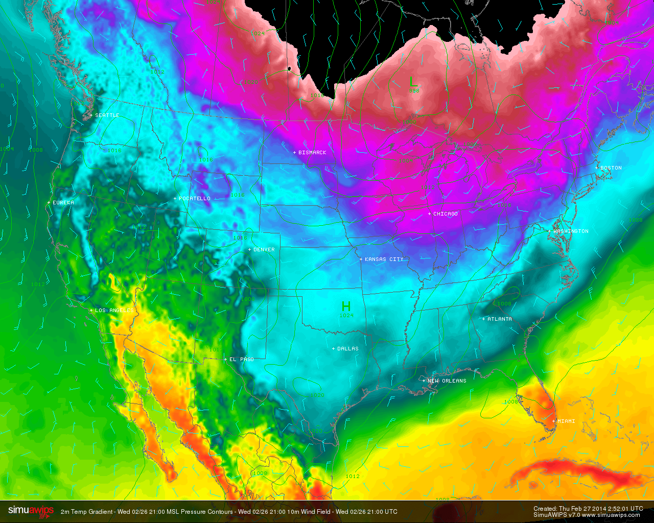
Finally, another arctic cold front will slam into central Indiana tomorrow morning and will be accompanied by howling northerly winds gusting to 40-50 MPH and a potential quick-hitting snow shower. This will set the stage for a brutal Thursday as temperatures struggle to recover to the lower to middle teens for IND and even colder for the northern ‘burbs. This is hard to handle when considering we’re expected to “normally” reach the middle 40s this time of year.


