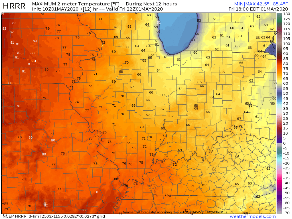
A gorgeous Friday is dialed up complete with plentiful sunshine and temperatures warming quickly from the mid and upper 30s into the mid and upper 60s.
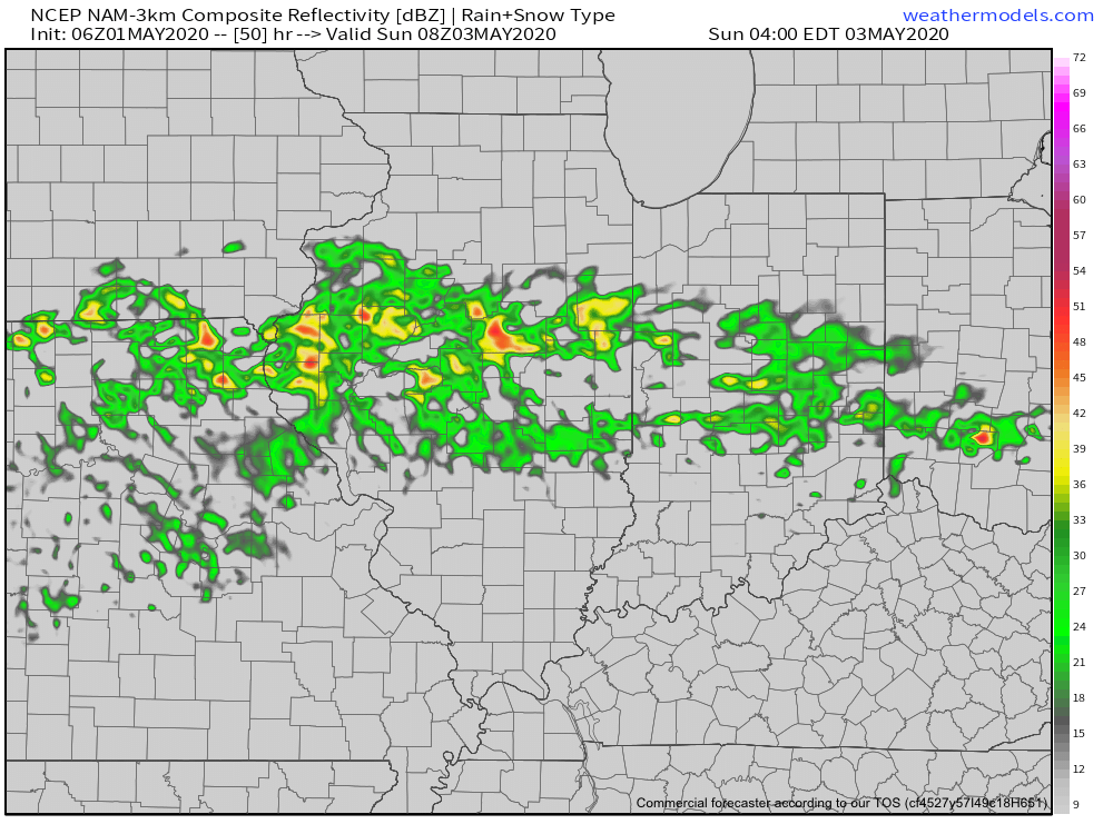
A couple weak impulses of energy will scoot through the Ohio Valley over the next 24 hours and while they will spark a few showers/ embedded thunder predawn Saturday and again Saturday night, most of the daytime hours Saturday will also feature dry conditions.
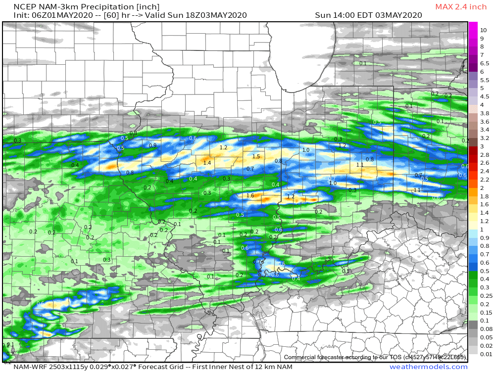
That begins to change Sunday as widespread showers and thunderstorms are expected to rumble across central Indiana, especially during the morning hours. Locally heavy downpours are likely.
A quick 1”-1.25” is a good bet across the heart of the state with this system Sunday morning.
Dry conditions will quickly return Sunday evening into Monday thanks to high pressure briefly building back into the region. This will lead to a pleasant open to the work week with highs topping out in the middle 60s.
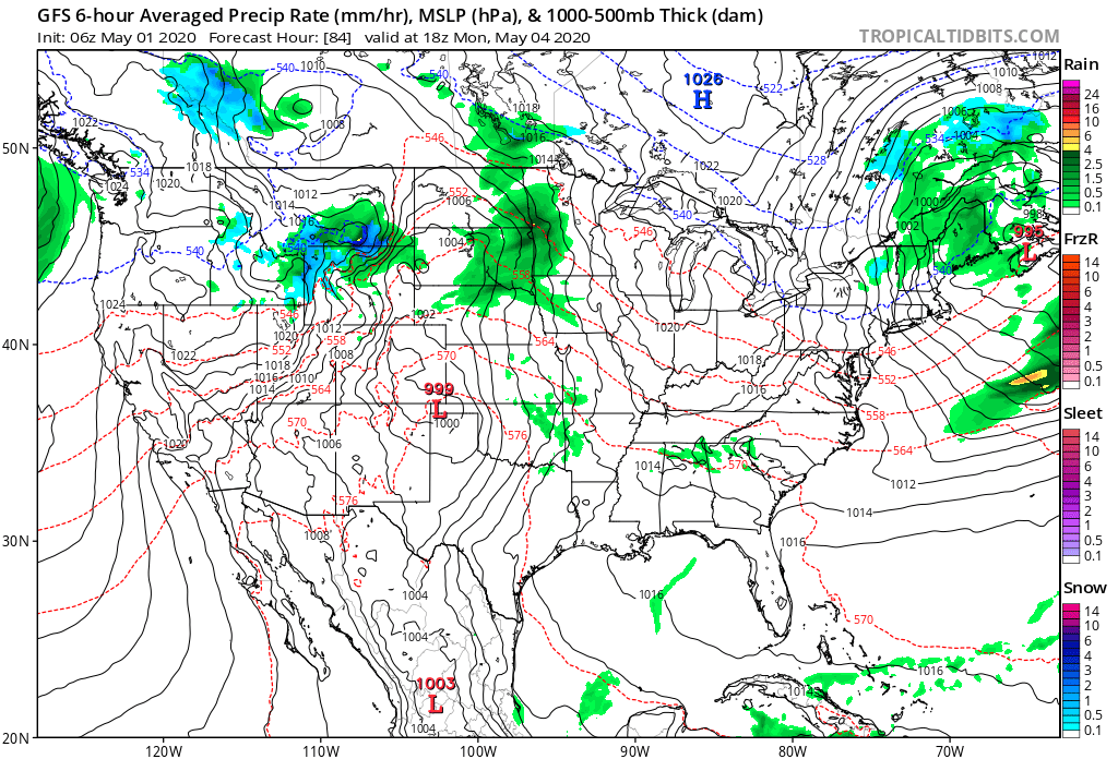
Unsettled weather returns as early as Tuesday with increased chances of showers and thunderstorms ahead of a strong cold front.

Though we’ll certainly turn cooler for the middle to latter part of the week, this will only be a precursor to what lies ahead behind yet another strong cold front late next week.
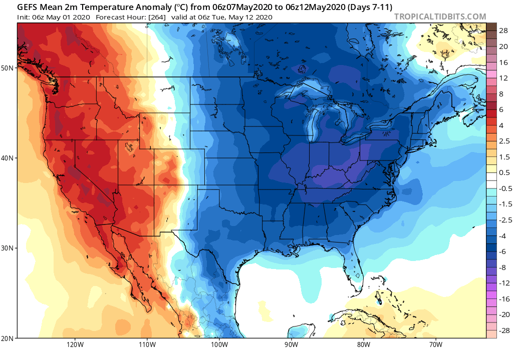
The air will likely challenge records into the Week 2 time frame (May 8th-14th), including the threat and increased likelihood of late season frost/ freezes. We also likely haven’t seen the last of the snow flakes for the season either…
