Updated 08.15.21 @ 8a


Forecast Period: 08.15.21 through 08.22.21
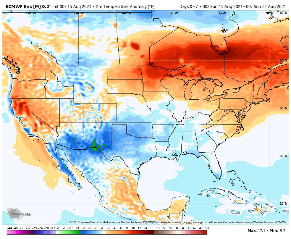
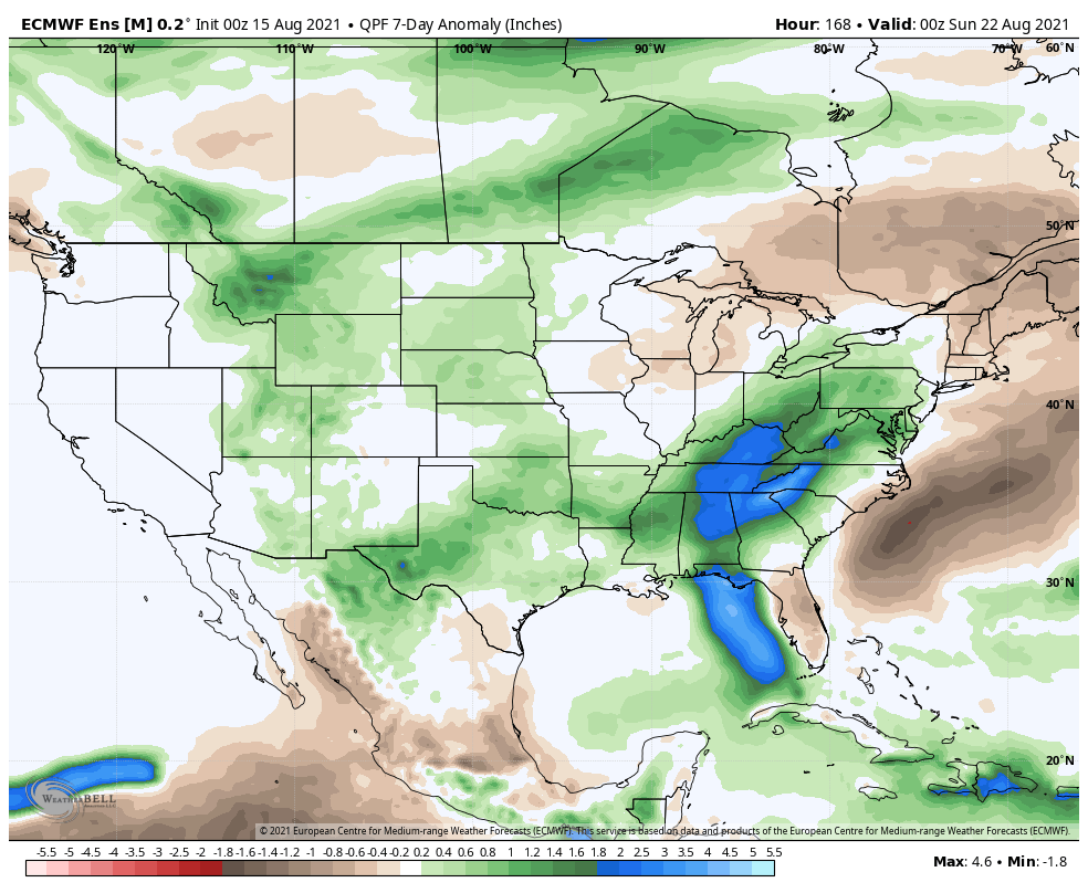
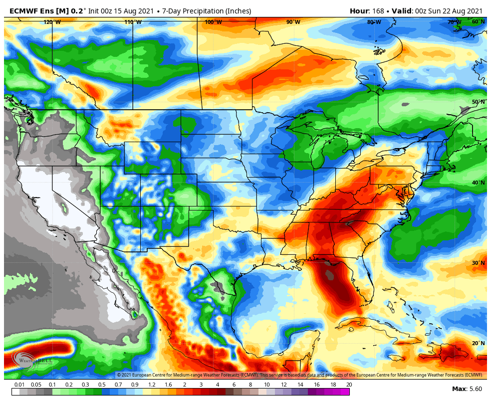
The past 36 hours has provided a nice change of pace as of late with lower humidity and cooler temperatures. (Several reporting sites across northern Indiana are in the lower 50s this morning with middle 50s as far south as the Indianapolis suburbs). As we look to start the new week, humidity will be on the increase along with a daily chance of scattered thunderstorms beginning as early as Monday, continuing Tuesday. We will try and inject briefly drier air in here Wednesday which should reduce coverage of “splash and dash” storms before scattered storms return to close the week. As we look ahead to Saturday, better storm coverage is expected as a cold front moves through the region.
A couple of other items of interest on a broader scale include the first snow of the young season falling across the northern Rockies this week, as an early shot of winter-like air descends south from Canada. Also, from a tropical perspective, we’ll keep close eyes on what comes of Fred and Grace. As it sits today, we still don’t anticipate impacts here in central Indiana from either systems.
