I. Tracking (2) cold fronts this week
II. Tropics remain a topic for the foreseeable future.


Forecast Period: 07.25.20 through 08.01.20
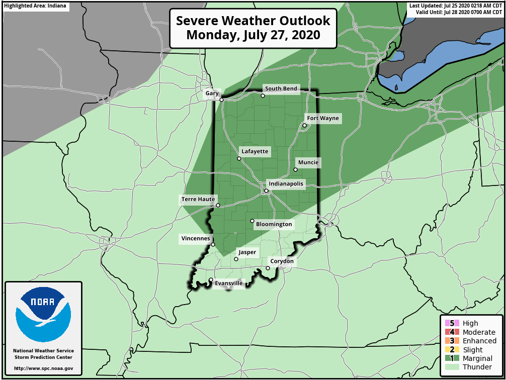
High pressure will remain in control of our short-term weather resulting in dry conditions prevailing for most through the weekend. As we move into the new work week, the 1st of (2) cold fronts will sweep through the state. Accordingly, rain chances will increase Monday, including the potential of a couple strong storms ahead of the cold front. The front will move through the region relatively quickly and we forecast dry (and cooler) conditions to return by Tuesday. The pattern gets much “murkier” by the middle to latter portions of the week as guidance continues to waffle on handling a second feature in what’ll be an anomalous pattern by late July-early August standards. While data struggles on handling the specifics, we’ll remain consistent with a more unsettled time of things by Thursday into Friday (and potentially next weekend based on how things play out). Stay tuned.
One additional note, the quick start to the tropical season is not without good reason. Unfortunately, all indications continue to point towards a hyperactive season (byproduct of favorable MJO and SST configuration). Next up will likely be a threat to the SE US coast (too early to say between the Gulf or Atl) just after Day 10.
