I. Recent wet pattern remains intact.
II. Persistent hot, muggy regime takes us into the holiday weekend.


Forecast Period: 06.28.20 through 07.05.20
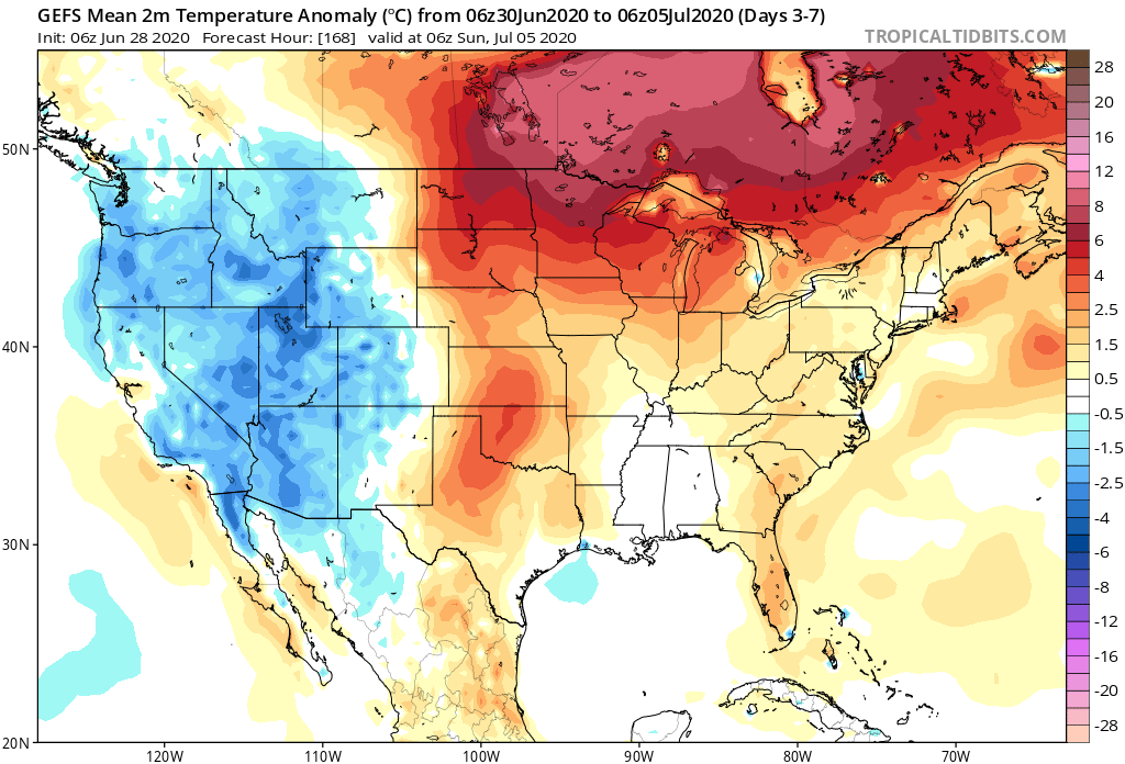
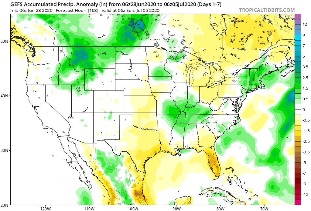
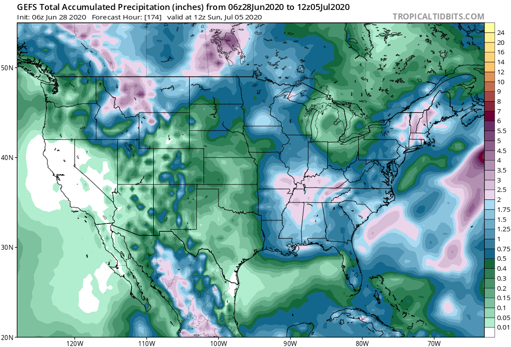
A stationary frontal boundary will remain draped across the region until Tuesday night before getting a slight “nudge” off to the southwest Wednesday. The warm and humid pattern in place today will remain locked into the area straight through the holiday weekend (with a small break in humidity midweek). Periods of hefty thunderstorms can be expected- most numerous during the afternoon and evening hours. With such high moisture content in the air, locally heavy rainfall is expected at times. This “rinse and repeat” forecast will begin to change up by the holiday weekend as ridging builds overhead. While this won’t help us with the heat or humidity, this will reduce rain chances. Instead of scattered to numerous coverage, we’ll be talking about isolated coverage for the holiday weekend, itself. Most will stay dry. By this time frame, we’ll monitor the goings on to our south as a cut off low keeps the TN Valley into the Southeast region unsettled with more widespread storm coverage for the holiday weekend.
