Weekly Highlights:
I. A cold front will settle south into a warm and at least marginally unstable environment tonight into early Sunday morning. This will result in a rather rapid expansion of thunderstorms across the central Ohio Valley tonight.
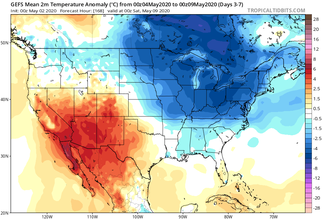
II. The next big item has to do with the unseasonably cold airmass that will unload into the eastern half of the country, but this is more of a late Week 1 into Week 2 situation.


Forecast Period: 05.02.20 through 05.09.20
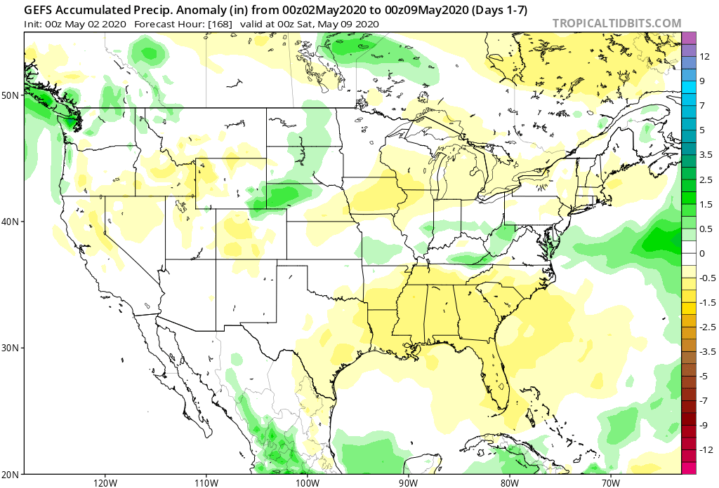
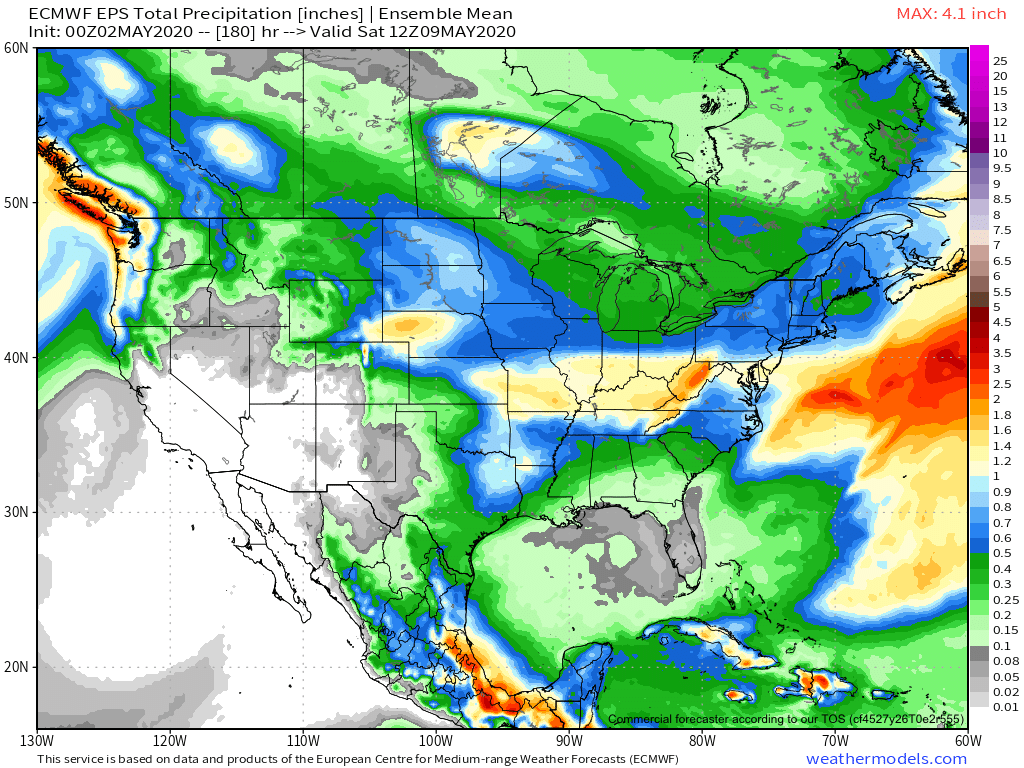
Most of our Saturday will feature dry and pleasant conditions. It’ll be a great day to get caught up on yard work around the house before things take on a stormy turn tonight. A cold front will settle into the briefly warmer and more humid air mass and will ignite thunderstorm development by late evening. A few of these storms will likely become strong to severe late evening into the overnight period, including the potential of large hail and damaging wind gusts. Once the front settles to our south, the convection will also move south and out of our area mid-late Sunday morning. Beforehand, a swath of 1” rains are likely throughout central Indiana with a few locally heavier totals.
There will then be a couple of additional cold fronts to track through the upcoming week: Monday night into Tuesday and again Friday into Saturday. Both fronts should provide additional rain chances during that time frame followed by cooler air.
It’s the weekend front that will usher in more of a winter-like feel including the threat of late season frost/ freeze conditions during the 7-10 day period. We may have not even seen the last of snow for the season…
