Weekly Highlights:
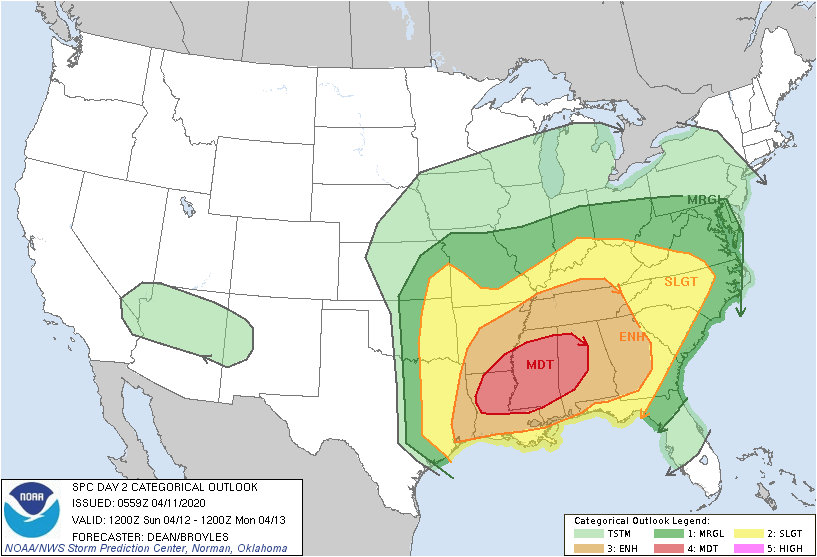
I. Strong Easter storm system leads to a widespread severe weather outbreak across the southern Plains (today), Deep South (Sunday), and into the central/ southern Ohio Valley (Sunday night).
II. An anomalous trough carves itself out over the eastern half of the country leading to well below average temperatures in the week ahead.


Forecast Period: 04.11.20 through 04.18.20
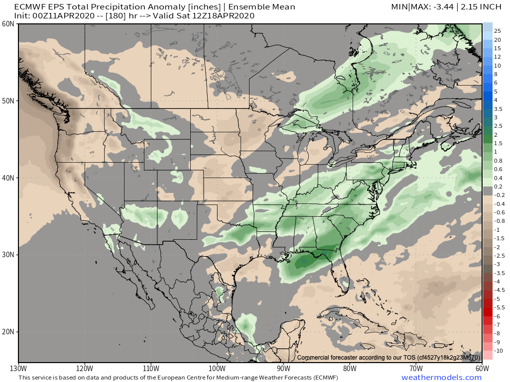
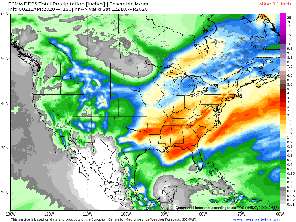
More specific to central Indiana, today will feature mostly cloudy, but mostly dry conditions. As a warm front lifts north across the state tonight, chances of showers will be on the increase. Easter will feature a deepening low pressure system racing northeast from the Ark-la-tex region across the central Ohio Valley and into the Great Lakes by Monday morning. Most of Easter Sunday will also feature precipitation-free hours, but showers and thunderstorms will be on the increase tomorrow evening into the nighttime. (If you have family and friends across the Deep South, please reach out and ensure they are aware of the developing situation and corresponding strong risk of significant severe weather Easter Sunday). While the threat of severe weather isn’t as great up this way, we’re closely monitoring the potential of a squall line impacting areas into southeastern Indiana late Sunday night into the overnight Monday- continuing into central portions of the Ohio. An associated damaging wind threat would ensue with this line of storms. Finally, as the cold front sweeps through the region Monday morning, rain should come to an end around or just before daybreak, but much cooler and very windy conditions will develop. Monday should feature northwest gusts of 40 to 50 MPH.
The remainder of the forecast period will be dominated by unseasonably chilly conditions and a couple of weaker, fast-moving, disturbances. With the cold air in place, mixed rain and snow showers are possible midweek with a disturbance.
Tuesday through Thursday mornings feature the best chance of temperatures falling to or below the freezing mark. Frost isn’t anticipated outside of this time frame due to clouds and/ or wind.
