An expanding upper level ridge will drive the warmest air so far this season into the Ohio Valley, including central Indiana, as we get set to close the work week and head into next week.

This will not only deliver mid to upper 80s, but the first truly “oppressive” feel of the season as moist Gulf of Mexico air flows northward into the Ohio Valley. At times, dew points will approach the 70 degree mark.
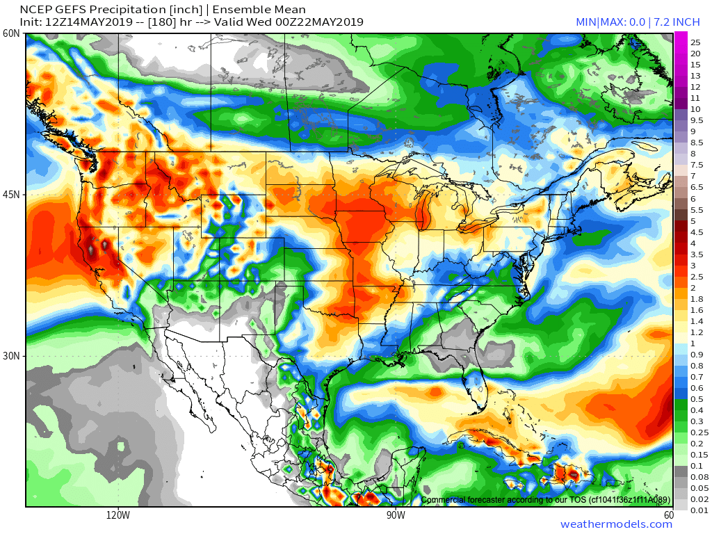
Though the pattern will turn warm and humid, the worst of the heavy rain events are expected to remain to our west-northwest. (Unfortunately, this pattern is one that will lead to a multi-day severe weather and eventual flood threat for the Plains into the upper Midwest).
That isn’t to say we won’t see rain and storms at times (most numerous Thursday night across northern and east-central Indiana, Sunday afternoon across all of the state, and again Tuesday), but instead the most concentrated heavy rain and severe potential will be focused from OK, MO, IA, and into MN and WI over the upcoming 7-day period. Instead of us looking at widespread 2″ to 4″ totals, we’re instead looking at 7-day rainfall amounts around an inch, with locally heavier amounts.
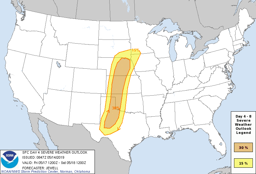
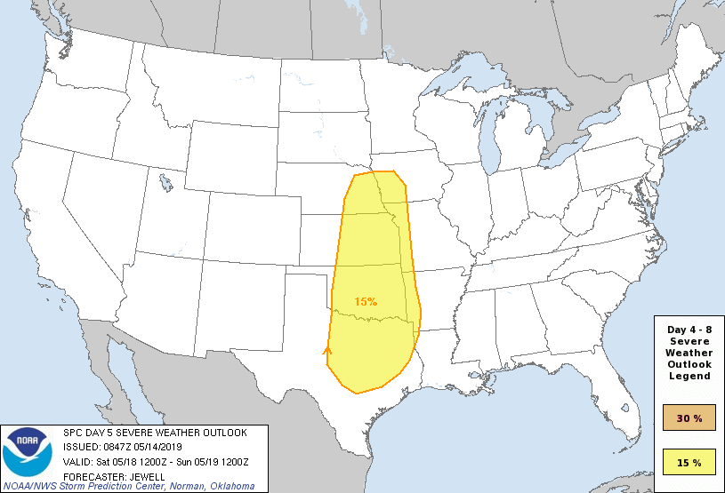
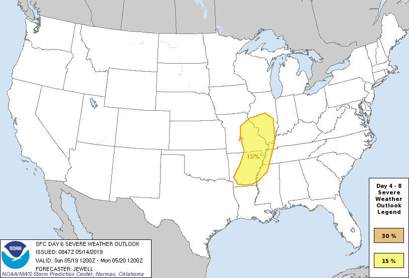
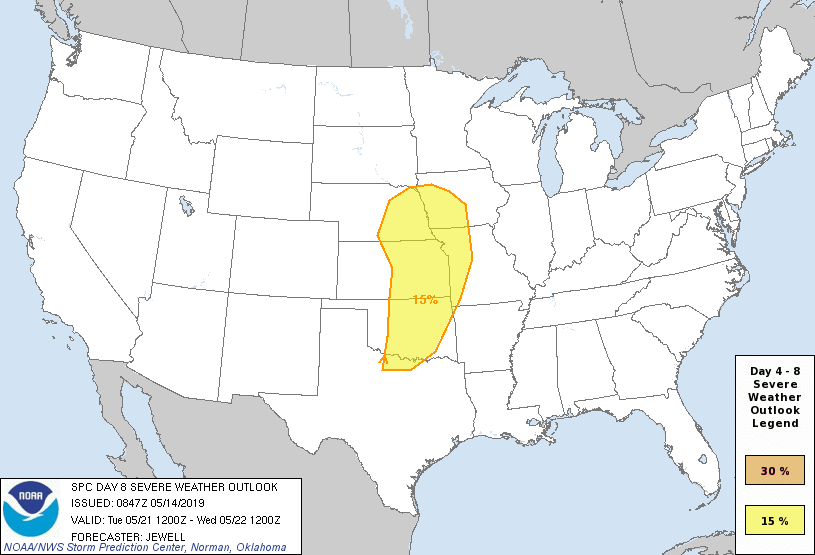
From a severe perspective, similar to the heavy rain events, this, too, is expected to remain to our west for the better part of the upcoming 7-day period. While storm chasers coverage on the Plains this weekend into next week, we’ll, thankfully, be watching the bulk of the action from afar for the better part of the period.
Days 4-8 Severe Weather Outlook, courtesy of the Storm Prediction Center (SPC), can be found below:
